GRN grid region: S23E11
A grid 'square' of approximately 160km x 160km, part of the Global Reference Network of 19,833 grid cells covering the Earth.


Northeast Corner:
33 0'0'' S , 18 33'47'' E ( -33,18.5633 )
Southwest Corner:
34 30'0'' S , 16 52'36'' E ( -34.5,16.8767 )
Region/Areas Intersecting:
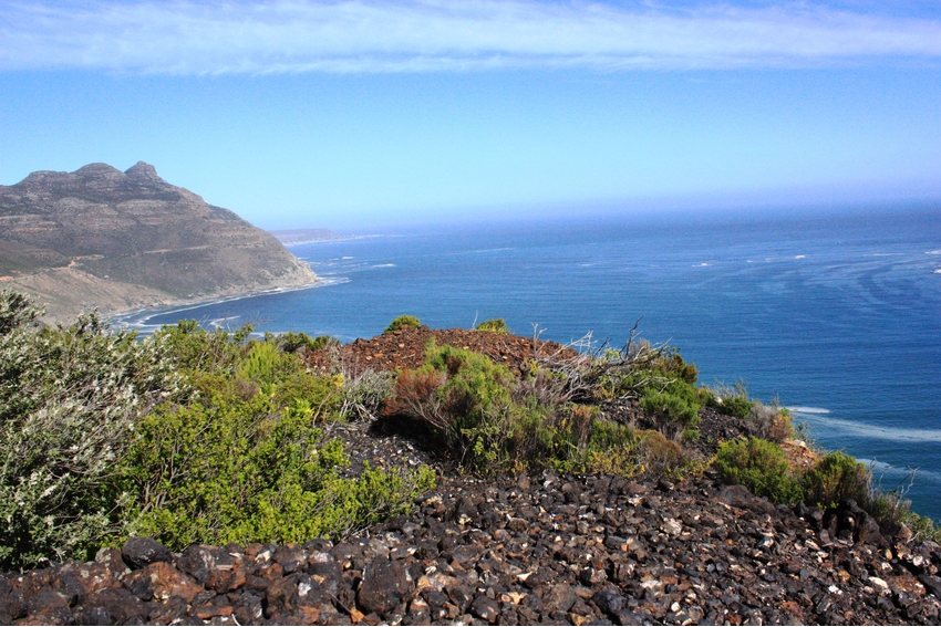
South Africa
Atlantic Ocean
African Plate
Western Cape, South Africa
Southwest African Coastal basin, African Plate
West Coast District Municipality, Western Cape, South Africa
City of Cape Town Metropolitan Municipality, Western Cape, South Africa
Saldanha Bay Local Municipality, West Coast District Municipality, Western Cape, South Africa
Select Mineral List Type
Standard Detailed Gallery Strunz Chemical ElementsCommodity List
This is a list of exploitable or exploited mineral commodities recorded at this locality.Mineral List
16 valid minerals.
Rock Types Recorded
Note: data is currently VERY limited. Please bear with us while we work towards adding this information!
Select Rock List Type
Alphabetical List Tree DiagramLocalities within grid area
- Western Cape
- City of Cape Town Metropolitan Municipality
- Western Cape
- City of Cape Town Metropolitan Municipality
- West Coast District Municipality
- Saldanha Bay Local Municipality


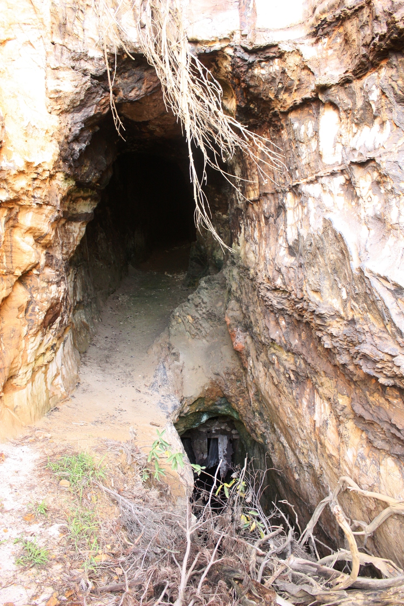
Manganese Mines, Hout Bay, City of Cape Town Metropolitan Municipality, Western Cape, South Africa