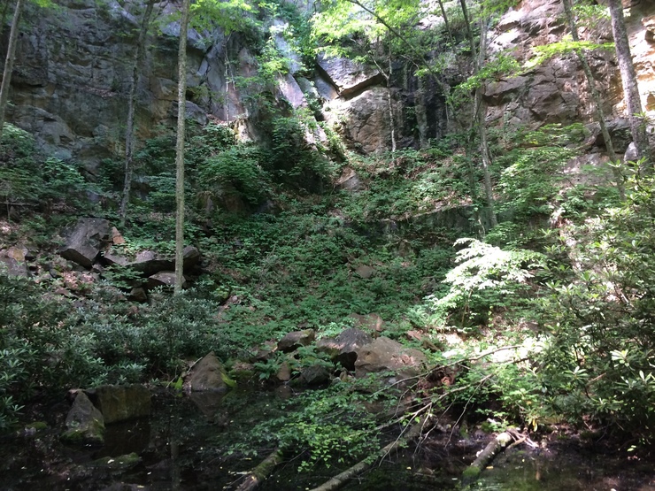
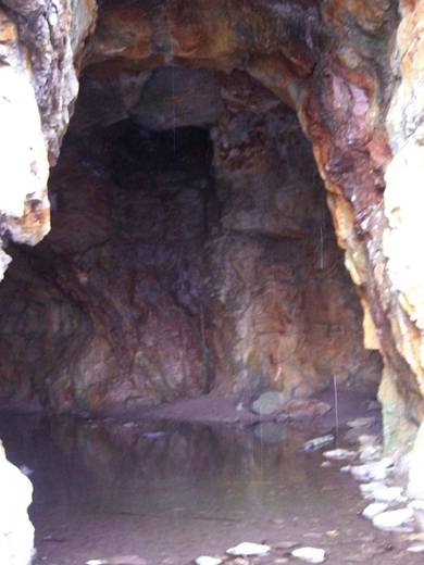
Yancey Mine, Yancey County, North Carolina, USAi
| Regional Level Types | |
|---|---|
| Yancey Mine | Mine (Abandoned) |
| Yancey County | County |
| North Carolina | State |
| USA | Country |
This page is currently not sponsored. Click here to sponsor this page.


Latitude & Longitude (WGS84):
35° 53' 33'' North , 82° 16' 1'' West
Latitude & Longitude (decimal):
Type:
Mine (Abandoned) - last checked 2018
Köppen climate type:
Nearest Settlements:
| Place | Population | Distance |
|---|---|---|
| Burnsville | 1,660 (2017) | 4.1km |
| Bakersville | 452 (2017) | 16.8km |
| Spruce Pine | 2,134 (2017) | 18.4km |
| Mars Hill | 2,256 (2017) | 26.5km |
| Montreat | 723 (2017) | 27.8km |
Nearest Clubs:
Local clubs are the best way to get access to collecting localities
Local clubs are the best way to get access to collecting localities
| Club | Location | Distance |
|---|---|---|
| Mountain Area Gem and Mineral Association (MAGMA) | Asheville, North Carolina | 41km |
| Southern Appalachian Mineral Society | Asheville, North Carolina | 41km |
Mindat Locality ID:
102590
Long-form identifier:
mindat:1:2:102590:6
GUID (UUID V4):
13f8aae3-5bf4-4d95-8dce-5c50a62608d1
Commodities (Major) - Kyanite
Development Status: Past Producer
Commodity List
This is a list of exploitable or exploited mineral commodities recorded at this locality.List of minerals for each chemical element
Other Regions, Features and Areas containing this locality
North America PlateTectonic Plate
USA
This page contains all mineral locality references listed on mindat.org. This does not claim to be a complete list. If you know of more minerals from this site, please register so you can add to our database. This locality information is for reference purposes only. You should never attempt to
visit any sites listed in mindat.org without first ensuring that you have the permission of the land and/or mineral rights holders
for access and that you are aware of all safety precautions necessary.
References


Yancey Mine, Yancey County, North Carolina, USA