Kubitaka, Punia Territory, Maniema, DR Congoi
| Regional Level Types | |
|---|---|
| Kubitaka | Prospect |
| Punia Territory | Territory |
| Maniema | Province |
| DR Congo | Country |
This page is currently not sponsored. Click here to sponsor this page.

Latitude & Longitude (WGS84):
1° 22' 24'' South , 26° 34' 36'' East
Latitude & Longitude (decimal):
Type:
Köppen climate type:
Mindat Locality ID:
192516
Long-form identifier:
mindat:1:2:192516:9
GUID (UUID V4):
072f4e57-6fb6-4818-82db-b72b5eac3fcb
Other/historical names associated with this locality:
Zaïre
Located west of the Kivu Lake.
Select Mineral List Type
Standard Detailed Gallery Strunz Chemical ElementsDetailed Mineral List:
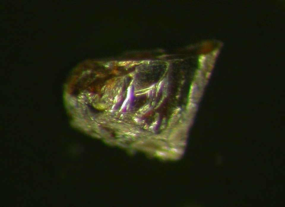
| ⓘ Foordite Formula: Sn2+Nb2O6 Description: Initially identified as thoreaulite, now designated as the cotype specimen. References: |
Gallery:
List of minerals arranged by Strunz 10th Edition classification
| Group 4 - Oxides and Hydroxides | |||
|---|---|---|---|
| ⓘ | Foordite | 4.DG.15 | Sn2+Nb2O6 |
List of minerals for each chemical element
| O | Oxygen | |
|---|---|---|
| O | ⓘ Foordite | Sn2+Nb2O6 |
| Nb | Niobium | |
| Nb | ⓘ Foordite | Sn2+Nb2O6 |
| Sn | Tin | |
| Sn | ⓘ Foordite | Sn2+Nb2O6 |
Other Regions, Features and Areas containing this locality
Africa
- East African Rift System (EARS)Zone (Tectonic)
African PlateTectonic Plate
Central AfricaRegion
DR Congo
- ⭔KivuRegion
This page contains all mineral locality references listed on mindat.org. This does not claim to be a complete list. If you know of more minerals from this site, please register so you can add to our database. This locality information is for reference purposes only. You should never attempt to
visit any sites listed in mindat.org without first ensuring that you have the permission of the land and/or mineral rights holders
for access and that you are aware of all safety precautions necessary.
References


Kubitaka, Punia Territory, Maniema, DR Congo