Par Valley Mine, Cornwall, England, UKi
| Regional Level Types | |
|---|---|
| Par Valley Mine | Mine |
| Cornwall | County |
| England | Constituent Country |
| UK | Country |
This page is currently not sponsored. Click here to sponsor this page.

Latitude & Longitude (WGS84):
50° North , 4° West (est.)
Estimate based on other nearby localities or region boundaries.
Margin of Error:
~2km
Type:
Köppen climate type:
Mindat Locality ID:
221804
Long-form identifier:
mindat:1:2:221804:8
GUID (UUID V4):
b32c9739-a2a3-451b-901a-2d879be9712a
Apparently the name given to an amalgamation of Eliza Consols and New Boscundle Mine at an unknown date.
Select Mineral List Type
Standard Detailed Gallery Strunz Chemical ElementsCommodity List
This is a list of exploitable or exploited mineral commodities recorded from this region.Mineral List
Mineral list contains entries from the region specified including sub-localities4 valid minerals.
Detailed Mineral List:
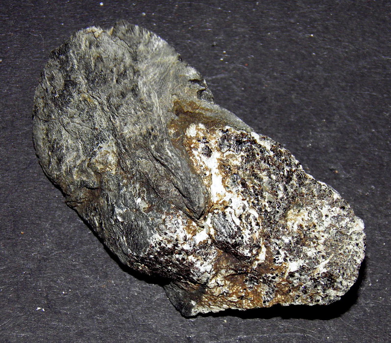
| ⓘ Cassiterite Formula: SnO2 Localities: Reported from at least 6 localities in this region. Reference: Gus Horsley collection |
| ⓘ Chalcocite Formula: Cu2S Reference: Dines, H.G. (1956): The metalliferous mining region of south-west England. HMSO Publications (London), Vol. 2, pp. 558-561. |
| ⓘ Chalcopyrite Formula: CuFeS2 Reference: Dines, H.G. (1956): The metalliferous mining region of south-west England. HMSO Publications (London), Vol. 2, pp. 558-561. |
| ⓘ Tenorite Formula: CuO Reference: Dines, H.G. (1956): The metalliferous mining region of south-west England. HMSO Publications (London), Vol. 2, pp. 558-561. |

Gallery:
List of minerals arranged by Strunz 10th Edition classification
| Group 2 - Sulphides and Sulfosalts | |||
|---|---|---|---|
| ⓘ | Chalcocite | 2.BA.05 | Cu2S |
| ⓘ | Chalcopyrite | 2.CB.10a | CuFeS2 |
| Group 4 - Oxides and Hydroxides | |||
| ⓘ | Cassiterite | 4.DB.05 | SnO2 |
| ⓘ | Tenorite | 4.AB.10 | CuO |
List of minerals for each chemical element
| O | Oxygen | |
|---|---|---|
| O | ⓘ Cassiterite | SnO2 |
| O | ⓘ Tenorite | CuO |
| S | Sulfur | |
| S | ⓘ Chalcopyrite | CuFeS2 |
| S | ⓘ Chalcocite | Cu2S |
| Fe | Iron | |
| Fe | ⓘ Chalcopyrite | CuFeS2 |
| Cu | Copper | |
| Cu | ⓘ Chalcopyrite | CuFeS2 |
| Cu | ⓘ Tenorite | CuO |
| Cu | ⓘ Chalcocite | Cu2S |
| Sn | Tin | |
| Sn | ⓘ Cassiterite | SnO2 |
Geochronology
| Geologic Time | Rocks, Minerals and Events | |||||||||||||||||||||
|---|---|---|---|---|---|---|---|---|---|---|---|---|---|---|---|---|---|---|---|---|---|---|
| Phanerozoic | ||||||||||||||||||||||
| Paleozoic | ||||||||||||||||||||||
| Permian | ||||||||||||||||||||||
| Guadalupian |
| |||||||||||||||||||||
| Cisuralian |
| |||||||||||||||||||||
External Links
Localities in this Region
- England
- England
- Cornwall
- Carlyon
- Wheal Eliza Consols
- West Par Consols
- Wheal Eliza (Boscundle Mine)
- Wheal Eliza Consols
- St Austell
- St Blaise
- Carlyon
- Cornwall
Other Regions, Features and Areas that Intersect
British and Irish IslesGroup of Islands
Eurasian PlateTectonic Plate
UK
- England
- Cornwall
- St Austell Mining DistrictMining District
- Devon and Cornwall metalliferous mining districtMining District
- Cornwall
This page contains all mineral locality references listed on mindat.org. This does not claim to be a complete list. If you know of more minerals from this site, please register so you can add to our database. This locality information is for reference purposes only. You should never attempt to
visit any sites listed in mindat.org without first ensuring that you have the permission of the land and/or mineral rights holders
for access and that you are aware of all safety precautions necessary.


Tregrehan Consols Mine, Wheal Eliza Consols, Carlyon, Cornwall, England, UK