Romaso, Ashanti Region, Ghanai
| Regional Level Types | |
|---|---|
| Romaso | Alluvial Deposit |
| Ashanti Region | Region |
| Ghana | Country |
This page is currently not sponsored. Click here to sponsor this page.


Latitude & Longitude (WGS84):
6° 17' 28'' North , 1° 59' 3'' West
Latitude & Longitude (decimal):
Type:
Köppen climate type:
Mindat Locality ID:
257113
Long-form identifier:
1:2:257113:6
GUID (UUID V4):
1ed784fa-716b-4008-82b4-ba407ee498a5
Elevation: 145 m. asl.
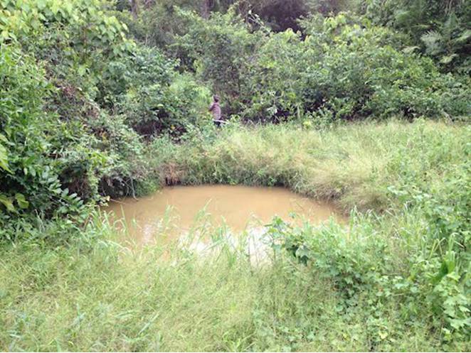
Gold mines.
Select Mineral List Type
Standard Detailed Gallery Strunz Chemical ElementsGallery:
Other Regions, Features and Areas containing this locality
This page contains all mineral locality references listed on mindat.org. This does not claim to be a complete list. If you know of more minerals from this site, please register so you can add to our database. This locality information is for reference purposes only. You should never attempt to
visit any sites listed in mindat.org without first ensuring that you have the permission of the land and/or mineral rights holders
for access and that you are aware of all safety precautions necessary.


Romaso, Ashanti Region, Ghana