Messenger's Patch gold area, Wadgingarra Goldfield, Yalgoo Shire, Western Australia, Australia
This page is currently not sponsored. Click here to sponsor this page.

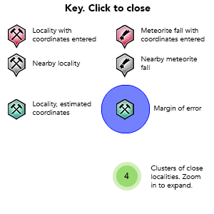
Key
Lock Map
| Latitude & Longitude (WGS84): | 28° 34' 44'' South , 116° 53' 11'' East |
|---|---|
| Latitude & Longitude (decimal): | -28.57912,116.88664 |
| GeoHash: | G#: qdgj7v668 |
| Locality type: | Area |
| Köppen climate type: | BSh : Hot semi-arid (steppe) climate |
Messenger's Patch is a name given to a central area of the goldfield with several old historic mines, mainly just to the east of the Yalgoo to Fields Find Road. Historically the location was used to describe the distance of various mines north-west or south-east of Messenger's Patch. No actual mine by this name was located. It is named after A. Messenger, an early prospector in the area, who had a controlling interest in the nearby Marloo Mine.
In June 1907 the spot was newly discovered with 50 prospectors searching the ground for alluvial gold. The material was obtained from an extensive slope going north-east from a decomposed granite ridge, as a large low grade alluvial gold deposit. Several claims were pegged, and a number of small mines opened for a couple of years before the gold ran out.
Mineral List
1 valid mineral.
This page contains all mineral locality references listed on mindat.org. This does not claim to be a complete list. If you know of more minerals from this site, please register so you can add to our database. This locality information is for reference purposes only. You should never attempt to
visit any sites listed in mindat.org without first ensuring that you have the permission of the land and/or mineral rights holders
for access and that you are aware of all safety precautions necessary.
References
Sort by Year (asc) | by Year (desc) | by Author (A-Z) | by Author (Z-A)
Mount Magnet Miner and Lennoville Leader newspaper (1908), Messenger's Patch, 24/10/1908
Mount Magnet Miner and Lennonville Leader newspaper (1907), Messenger's Patch, 29/06/1907


