Cowarna Downs Station, Kalgoorlie-Boulder Shire, Western Australia, Australia


| Latitude & Longitude (WGS84): | 31° 0' 30'' South , 122° 21' 23'' East |
|---|---|
| Latitude & Longitude (decimal): | -31.00853,122.35662 |
| GeoHash: | G#: qdrp87165 |
| Köppen climate type: | BSh : Hot semi-arid (steppe) climate |
Cowarna Downs Station is a pastoral station 105 kilometres east of Kalgoorlie, the homestead just south of the Trans Australian Railway Line. Karonie is a small railway siding on this station.
The station includes the Aldiss-Karonie gold district, part of the Mount Monger Goldfield. This area most significantly includes the Karonie Gold Mine, and several other north-south trending gold prospects over a distance of 40 kilometres. The gold deposits are listed in Mindat under those regions rather than this station.
The gold prospects are classified into the Admiral, Batavia, and Challenger Trends, hosting a large number of discrete anomalous zones. The geology of the area consists of Archaean aequences comprising high-magnesian mafics, andesites, intermediate to felsic volcaniclastics, granodiorites, syenites, porphyries, shales, banded chert and other sediments. Gold mineralisation is hosted by the intermediate volcaniclastics and porphyritic basalts. The overlying shallow cover is a very complex mix of stripped Archaean regolith profiles, overlain with reworked Archaean sediments, Tertiary sediments, windblown sand, paleo-drainage channels and usually dry salt lakes. Specifically, the gold deposits strike north-south, dipping west, in ortho and para amphibolites, with interlayered felsic sills or tuffs.
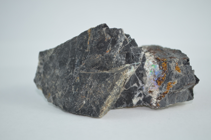
The area also contains some nickel prospects and a precious opal mine.
Pastoral station located 105 kilometres east of Kalgoorlie, the homestead just south of the Trans Australian Railway Line.
Mineral List
Mineral list contains entries from the region specified including sub-localities14 valid minerals.
Rock Types Recorded
Rock list contains entries from the region specified including sub-localities
Select Rock List Type
Alphabetical List Tree DiagramRegional Geology
This geological map and associated information on rock units at or nearby to the coordinates given for this locality is based on relatively small scale geological maps provided by various national Geological Surveys. This does not necessarily represent the complete geology at this locality but it gives a background for the region in which it is found.
Click on geological units on the map for more information. Click here to view full-screen map on Macrostrat.org
| Quaternary 0 - 2.588 Ma ID: 759016 | colluvium 38491 Age: Pleistocene (0 - 2.588 Ma) Description: Colluvium and/or residual deposits, sheetwash, talus, scree; boulder, gravel, sand; may include minor alluvial or sand plain deposits, local calcrete and reworked laterite Comments: regolith; synthesis of multiple published descriptions Lithology: Regolith Reference: Raymond, O.L., Liu, S., Gallagher, R., Zhang, W., Highet, L.M. Surface Geology of Australia 1:1 million scale dataset 2012 edition. Commonwealth of Australia (Geoscience Australia). [5] |
| Neoarchean - Mesoarchean 2500 - 3200 Ma ID: 3187518 | Archean volcanic rocks Age: Archean (2500 - 3200 Ma) Comments: Yilgarn Craton Lithology: Greenstone belt; mafic-ultramafic volcanic rocks Reference: Chorlton, L.B. Generalized geology of the world: bedrock domains and major faults in GIS format: a small-scale world geology map with an extended geological attribute database. doi: 10.4095/223767. Geological Survey of Canada, Open File 5529. [154] |
Data and map coding provided by Macrostrat.org, used under Creative Commons Attribution 4.0 License
Localities in this RegionShow map
- Western Australia
- Kalgoorlie-Boulder Shire
- Cowarna Downs Station
- Kalgoorlie-Boulder Shire
References
External Links


Cowarna Rocks Ni prospect, Cowarna Downs Station, Kalgoorlie-Boulder Shire, Western Australia, Australia