| Locality type: | Hill |
| Classification |
|---|
|
| Species: | Hydroxylapatite |
| Formula: | Ca5(PO4)3(OH) |
| Confirmation |
|---|
|
| Validity: | Believed Valid |
| Data |
|---|
|
| Mineral Data: | Click here to view Hydroxylapatite data |
| Locality Data: | Click here to view Podhorní hill (Podhora), Ovesné Kladruby, Cheb District, Karlovy Vary Region, Czech Republic |
| Data Identifiers |
|---|
|
| Mindat Occurrence Record ID: | 525046 |
| Long-form Identifier: | 1:3:525046:2 |
| GUID (UUID V4): | 91c6b273-8de1-4bb1-923b-4aa4411a691a |
| Nearest other occurrences of Hydroxylapatite |
|---|
|
|
| 11.0km (6.8 miles) | ⓘZadní Chodov deposit (Hinterkotten deposit), Zadní Chodov, Tachov District, Plzeň Region, Czech Republic |
| 12.5km (7.8 miles) | ⓘBílý Kámen pegmatite quarry, Lázně Kynžvart, Cheb District, Karlovy Vary Region, Czech Republic |
| 63.1km (39.2 miles) | ⓘEpprechtstein, Kirchenlamitz, Wunsiedel im Fichtelgebirge, Upper Franconia, Bavaria, Germany |
| 64.5km (40.1 miles) | ⓘSchoberth quarry, Rudolfstein, Weißenstadt, Wunsiedel im Fichtelgebirge, Upper Franconia, Bavaria, Germany |
| 66.7km (41.5 miles) | ⓘPucher Shaft, Wolfgangmaßen mines (Wolfgangmaaßen mines), Wolfgangmaßen, Neustädtel, Schneeberg, Erzgebirgskreis, Saxony, Germany |
| 67.9km (42.2 miles) | ⓘReinersreuth quarry (Köhlerloh quarry), Reinersreuth, Sparneck, Hof District, Upper Franconia, Bavaria, Germany |
| 76.0km (47.2 miles) | ⓘGreifensteine, Ehrenfriedersdorf, Erzgebirgskreis, Saxony, Germany |
| References |
|---|
|
|
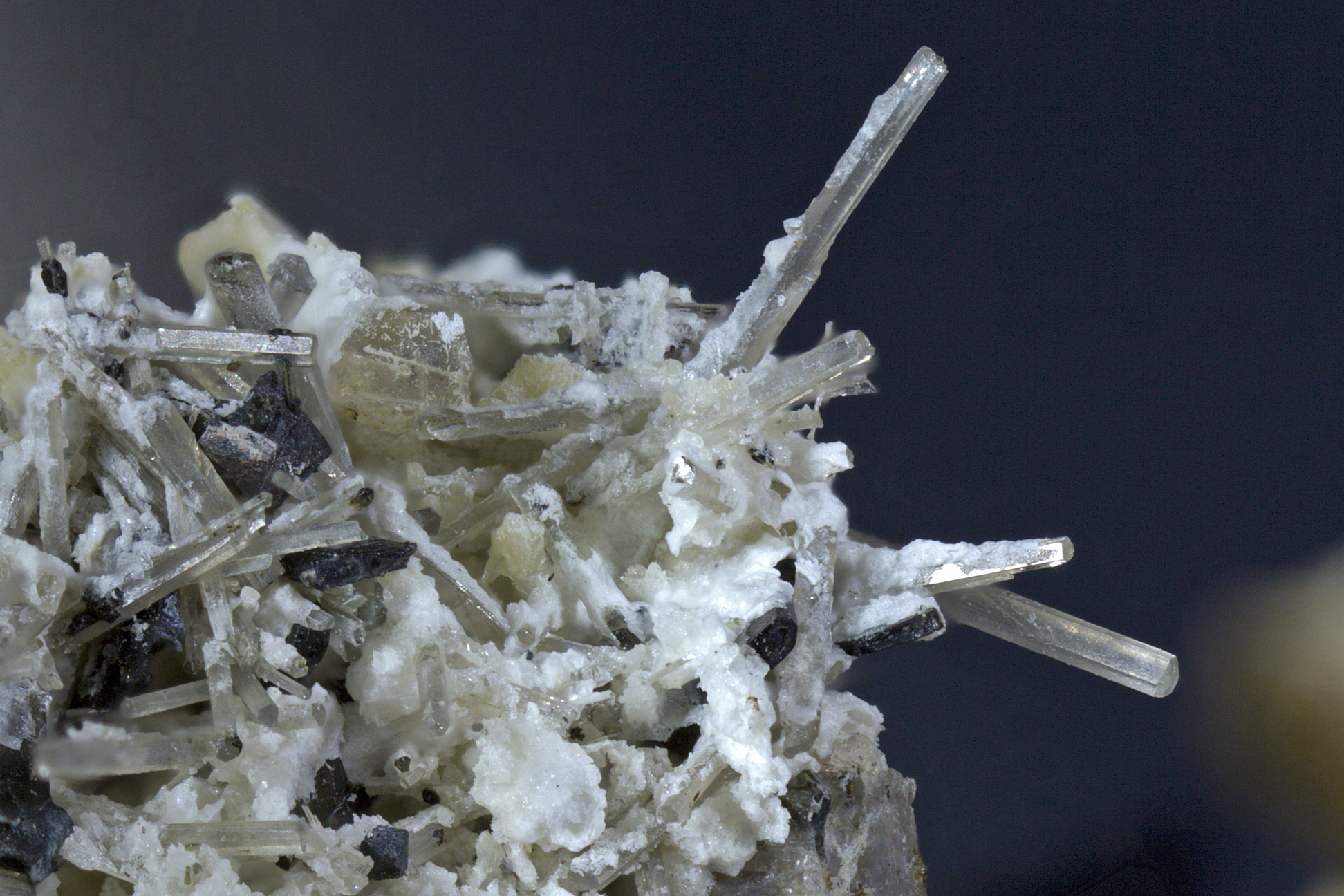


Podhorní hill, Ovesné Kladruby, Cheb District, Karlovy Vary Region, Czech Republic