| Locality type: | Mine |
| Classification |
|---|
|
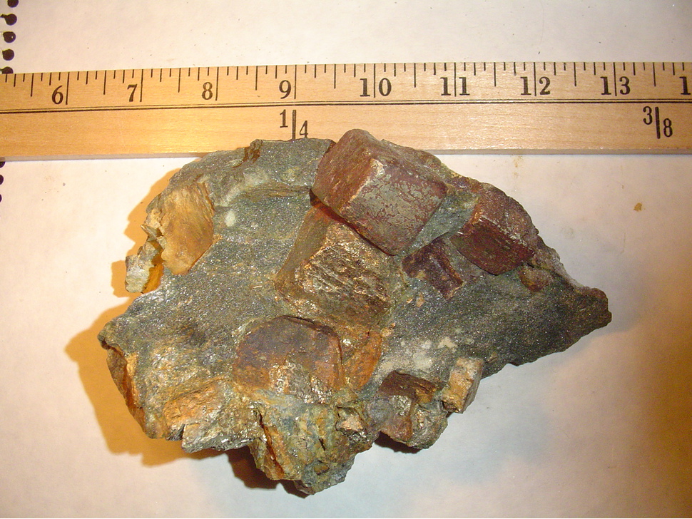
| Species: | Pyrite |
| Formula: | FeS2 |
| Confirmation |
|---|
|
| Validity: | Believed Valid |
| Data |
|---|
|
| Mineral Data: | Click here to view Pyrite data |
| Locality Data: | Click here to view Broughton talc mine (Luzcan mine; Carrière rang XV), Saint-Pierre-de-Broughton (West Broughton), Les Appalaches RCM, Chaudière-Appalaches, Québec, Canada |
| Photo Gallery | View Gallery (2 photos) |
| Data Identifiers |
|---|
|
| Mindat Occurrence Record ID: | 351521 |
| Long-form Identifier: | 1:3:351521:1 |
| GUID (UUID V4): | 337683d5-419e-42f6-8765-eb8b79f99e7f |
| Nearest other occurrences of Pyrite |
|---|
|
|
| 1.2km (0.7 miles) | ⓘHarvey Hill mine, Saint-Pierre-de-Broughton (West Broughton), Les Appalaches RCM, Chaudière-Appalaches, Québec, Canada |
| 12.3km (7.6 miles) | ⓘBoston Mine, Tring-Jonction, Robert-Cliche RCM, Chaudière-Appalaches, Québec, Canada |
| 14.0km (8.7 miles) | ⓘCarey mine (Carey Canada Inc. mine), Tring-Jonction, Robert-Cliche RCM, Chaudière-Appalaches, Québec, Canada |
| 15.1km (9.4 miles) | ⓘFlintkote mine, Pontbriand, Thetford Mines, Les Appalaches RCM, Chaudière-Appalaches, Québec, Canada |
| 27.7km (17.2 miles) | ⓘMine Lac d'Amiante (Lake Asbestos Mine; "LAB Mine"; "Black Lake Mine"), Saint-Joseph-de-Coleraine, Les Appalaches RCM, Chaudière-Appalaches, Québec, Canada |
| 30.0km (18.7 miles) | ⓘNormandie mine, Saint-Joseph-de-Coleraine, Les Appalaches RCM, Chaudière-Appalaches, Québec, Canada |
| 35.2km (21.9 miles) | ⓘSaint-Joseph-de-Beauce quarry (Calway Quarry), Saint-Joseph-de-Beauce, Robert-Cliche RCM, Chaudière-Appalaches, Québec, Canada |
| 36.4km (22.6 miles) | ⓘWind tower A36, Saint Ferdinand, L'Érable RCM, Centre-du-Québec, Québec, Canada |
| 36.7km (22.8 miles) | ⓘRapides-du-Diable, Beauceville, Robert-Cliche RCM, Chaudière-Appalaches, Québec, Canada |
| 43.1km (26.8 miles) | ⓘSaint Honore Quarry, Saint Honore-de-Shenley, Beauce-Sartigan RCM, Chaudière-Appalaches, Québec, Canada |
| References |
|---|
|
|


Broughton talc mine, Saint-Pierre-de-Broughton, Les Appalaches RCM, Chaudière-Appalaches, Québec, Canada