| Locality type: | Adit |
| Classification |
|---|
|
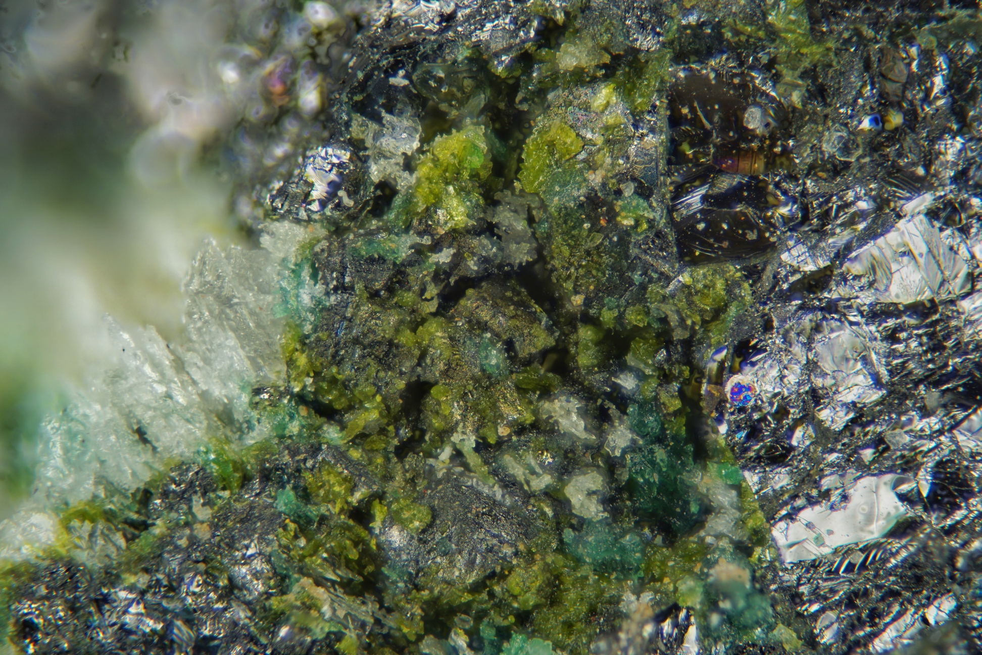
| Species: | Tangeite |
| Formula: | CaCu(VO4)(OH) |
| Confirmation |
|---|
|
| Validity: | Confirmed |
| Confirmation Methods: | Visually Identified |
| Associated Minerals Based on Photo Data: |
|---|
|
| Sulvanite | ⓘ16 photos of Tangeite associated with Sulvanite at this locality. |
| Calcite | ⓘ7 photos of Tangeite associated with Calcite at this locality. |
| Quartz | ⓘ4 photos of Tangeite associated with Quartz at this locality. |
| Malachite | ⓘ2 photos of Tangeite associated with Malachite at this locality. |
| Data |
|---|
|
| Mineral Data: | Click here to view Tangeite data |
| Locality Data: | Click here to view South Thorpe Hills copper prospect, Greeley Mining District, Tooele County, Utah, USA |
| Data Identifiers |
|---|
|
| Mindat Occurrence Record ID: | 922709 |
| Long-form Identifier: | 1:3:922709:5 |
| GUID (UUID V4): | 28cd473a-a9ed-4295-9be0-cc2fb4bc1a8f |
| Nearest other occurrences of Tangeite |
|---|
|
|
| 28.0km (17.4 miles) | ⓘLower dumps, North Star Mine (Star Consolidated Mine), Mammoth, Tintic Mining District, Juab County, Utah, USA |
| 28.0km (17.4 miles) | ⓘNorth Star Mine (Star Consolidated Mine), Mammoth, Tintic Mining District, Juab County, Utah, USA |
| References |
|---|
|
Anthony, John Williams, Bideaux, Richard A., Bladh, Kenneth W., Nichols, Monte C. (1990) Handbook of Mineralogy Vol. 1 - Elements, Sulfides, Sulfosalts. Mineral Data Publishing, Tucson, Arizona. |


South Thorpe Hills copper prospect, Greeley Mining District, Tooele County, Utah, USA