| Locality type: | Mine |
| Classification |
|---|
|
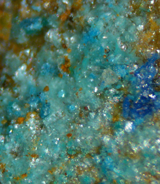
| Species: | Schulenbergite |
| Formula: | (Cu,Zn)7(SO4)2(OH)10 · 3H2O |
| Confirmation |
|---|
|
| Validity: | Believed Valid |
| Data |
|---|
|
| Mineral Data: | Click here to view Schulenbergite data |
| Locality Data: | Click here to view Old Sandbed Mine (Old Sandbeds Mine), Caldbeck, Allerdale, Cumbria, England, UK |
| Data Identifiers |
|---|
|
| Mindat Occurrence Record ID: | 416424 |
| Long-form Identifier: | 1:3:416424:1 |
| GUID (UUID V4): | f47503af-09e0-4033-b79d-3c655c7223a2 |
| Nearest other occurrences of Schulenbergite |
|---|
|
|
| 0.6km (0.4 miles) | ⓘDriggith Mine (Driggeth Mine), Caldbeck, Allerdale, Cumbria, England, UK |
| 1.6km (1.0 miles) | ⓘPotts Gill Copper Mine, Potts Gill, Caldbeck, Allerdale, Cumbria, England, UK |
| 3.1km (1.9 miles) | ⓘRoughton Gill Mine, Roughton Gill, Caldbeck, Allerdale, Cumbria, England, UK |
| 3.5km (2.2 miles) | ⓘSilver Gill, Roughton Gill, Caldbeck, Allerdale, Cumbria, England, UK |
| 41.2km (25.6 miles) | ⓘTynebottom Mine, Garrigill, Alston Moor, Eden, Cumbria, England, UK |
| 44.4km (27.6 miles) | ⓘNentsberry Haggs Mine, Alston Moor, Eden, Cumbria, England, UK |
| 46.3km (28.8 miles) | ⓘSmallcleugh Mine, Nenthead, Alston Moor, Eden, Cumbria, England, UK |
| 75.6km (47.0 miles) | ⓘCastleside Smelting Mill slag locality, Healeyfield, County Durham, England, UK |
| 91.6km (56.9 miles) | ⓘMeadowfoot Smelter slag locality, Wanlockhead, Dumfries and Galloway, Scotland, UK |
| References |
|---|
|
|


Old Sandbed Mine, Caldbeck, Allerdale, Cumbria, England, UK