| Locality type: | Well |
| Classification |
|---|
|
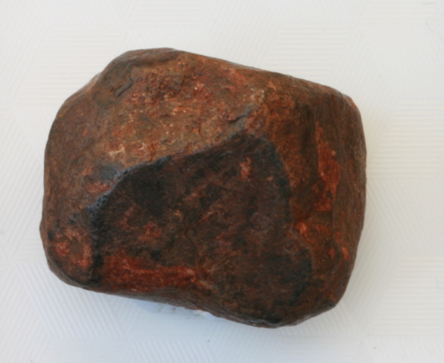
| Species: | Davidite-(La) |
| Formula: | La(Y,U)Fe2(Ti,Fe,Cr,V)18(O,OH,F)38 |
| Confirmation |
|---|
|
| Validity: | Believed Valid |
| Data |
|---|
|
| Mineral Data: | Click here to view Davidite-(La) data |
| Locality Data: | Click here to view Crocker Well (Crocker's Well), Mt Victor Plumbago Station, Olary Province, South Australia, Australia |
| Photo Gallery | View Gallery (3 photos) |
| Data Identifiers |
|---|
|
| Mindat Occurrence Record ID: | 417275 |
| Long-form Identifier: | 1:3:417275:8 |
| GUID (UUID V4): | 4db5d452-7d0b-46eb-bfc3-ee44067b1d59 |
| Nearest other occurrences of Davidite-(La) |
|---|
|
|
| 4.8km (3.0 miles) | ⓘMount Victoria Mine (Mt Victoria copper mine), Glenorchy homestead area, Mt Victor Plumbago Station, Olary Province, South Australia, Australia |
| 8.1km (5.0 miles) | ⓘUnnamed uranium prospect, Glenorchy homestead area, Mt Victor Plumbago Station, Olary Province, South Australia, Australia |
| 11.3km (7.0 miles) | ⓘBilleroo Davidite Prospect (Becaroo Prospect), Mt Victor Plumbago Station, Olary Province, South Australia, Australia |
| 11.6km (7.2 miles) | ⓘBecaroo Prospect, Glenorchy homestead area, Mt Victor Plumbago Station, Olary Province, South Australia, Australia |
| 14.0km (8.7 miles) | ⓘJagged Rocks (North-East), Glenorchy homestead area, Mt Victor Plumbago Station, Olary Province, South Australia, Australia |
| 22.9km (14.2 miles) | ⓘSpring Hill, Glenorchy homestead area, Mt Victor Plumbago Station, Olary Province, South Australia, Australia |
| 86.1km (53.5 miles) | ⓘRadium Hill Mine, Radium Hill area, Olary Province, South Australia, Australia |
| References |
|---|
|
|


Crocker Well, Mt Victor Plumbago Station, Olary Province, South Australia, Australia