| Locality type: | Quarry |
| Classification |
|---|
|
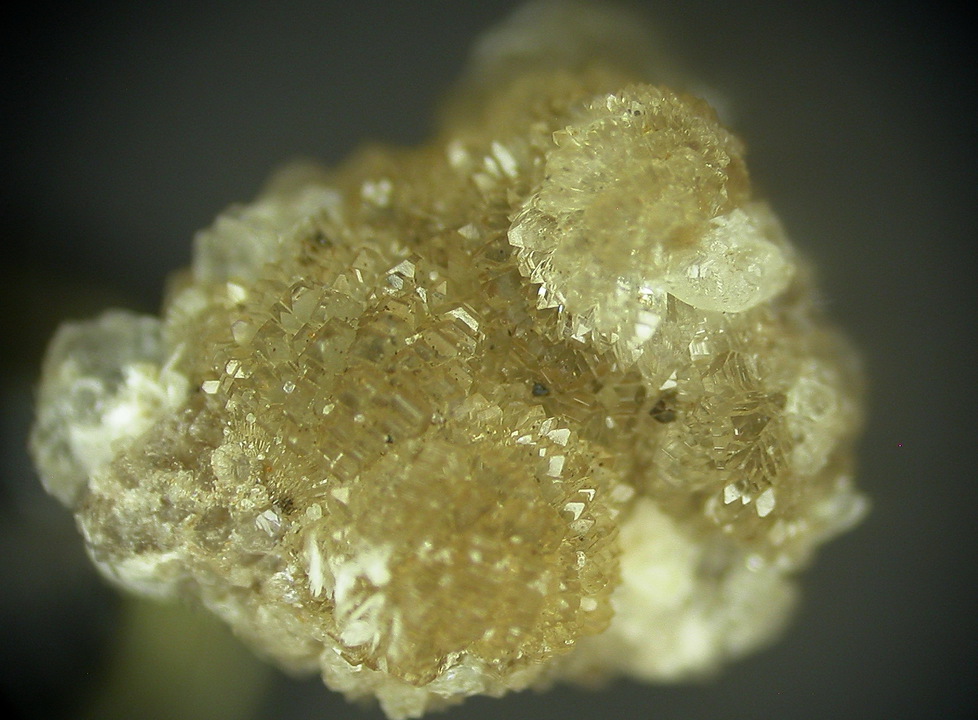
| Species: | Hemimorphite |
| Formula: | Zn4Si2O7(OH)2 · H2O |
| Confirmation |
|---|
|
| Validity: | Believed Valid |
| Associated Minerals Based on Photo Data: |
|---|
|
| Baryte | ⓘ1 photo of Hemimorphite associated with Baryte at this locality. |
| Fluorite | ⓘ1 photo of Hemimorphite associated with Fluorite at this locality. |
| Data |
|---|
|
| Mineral Data: | Click here to view Hemimorphite data |
| Locality Data: | Click here to view Bonsall Moor Quarry (Moor Farm Quarry; "Slayley Quarry"), Bonsall Moor, Bonsall, Derbyshire Dales District, Derbyshire, England, UK |
| Photo Gallery | View Gallery (2 photos) |
| Data Identifiers |
|---|
|
| Mindat Occurrence Record ID: | 16430 |
| Long-form Identifier: | 1:3:16430:8 |
| GUID (UUID V4): | 389d838d-bb8f-4f37-a990-176a1a2d5364 |
| Nearest other occurrences of Hemimorphite |
|---|
|
|
| 1.5km (0.9 miles) | ⓘPike Lane Opencut, Winster, Derbyshire Dales District, Derbyshire, England, UK |
| 1.9km (1.2 miles) | ⓘSacheveral Farm, Winster, Derbyshire Dales District, Derbyshire, England, UK |
| 2.6km (1.6 miles) | ⓘOld Millclose Mine, South Darley, Derbyshire Dales District, Derbyshire, England, UK |
| 3.3km (2.1 miles) | ⓘMillclose Mine, South Darley, Derbyshire Dales District, Derbyshire, England, UK |
| 3.7km (2.3 miles) | ⓘMasson Hill Quarry, Matlock, Derbyshire Dales District, Derbyshire, England, UK |
| 3.9km (2.4 miles) | ⓘMasson Hill and mines, Matlock, Derbyshire Dales District, Derbyshire, England, UK |
| 4.2km (2.6 miles) | ⓘDevonshire Cavern, Matlock, Derbyshire Dales District, Derbyshire, England, UK |
| 4.3km (2.7 miles) | ⓘBall Eye Quarry, Bonsall, Derbyshire Dales District, Derbyshire, England, UK |
| 4.3km (2.7 miles) | ⓘGolconda Mine, Hopton, Derbyshire Dales District, Derbyshire, England, UK |
| 4.5km (2.8 miles) | ⓘRutland Cave Mine (Rutland Mine; Nestus Mine), Heights of Abraham, Matlock Bath, Derbyshire Dales District, Derbyshire, England, UK |
| References |
|---|
|
|


Bonsall Moor Quarry, Bonsall Moor, Bonsall, Derbyshire Dales District, Derbyshire, England, UK