| Locality type: | Mine |
| Classification |
|---|
|
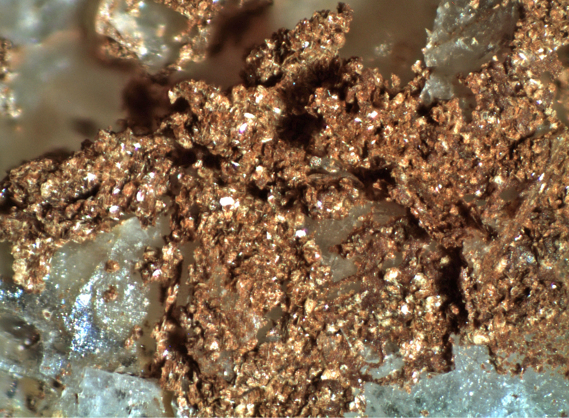
| Species: | Jarosite |
| Formula: | KFe33+(SO4)2(OH)6 |
| Confirmation |
|---|
|
| Validity: | Confirmed |
| Confirmation Methods: | Visually Identified |
| Data |
|---|
|
| Mineral Data: | Click here to view Jarosite data |
| Locality Data: | Click here to view Leiser Ray Mine (Lester Ray-Goffs Mine; Camp Signal Mine; Vanadium King Mine), Signal Hill, Piute Range [N], Signal Mining District (Vontrigger Mining District), San Bernardino County, California, USA |
| Data Identifiers |
|---|
|
| Mindat Occurrence Record ID: | 1019724 |
| Long-form Identifier: | 1:3:1019724:4 |
| GUID (UUID V4): | 2d2cafd5-54f9-4451-aaa6-697c2686321f |
| Nearest other occurrences of Jarosite |
|---|
|
|
| 72.9km (45.3 miles) | ⓘMohawk Mine, Mohawk Hill, Clark Mountain District (Clark District), Clark Mts (Clark Mountain Range), San Bernardino County, California, USA |
| 75.9km (47.1 miles) | ⓘCapitol Mine, Capital camp, Eldorado Mining District (Colorado Mining District), Eldorado Mountains, Clark County, Nevada, USA |
| 76.5km (47.6 miles) | ⓘCopper Hill Claims, Goodsprings Mining District, Spring Mountains, Clark County, Nevada, USA |
| 82.5km (51.3 miles) | ⓘMammoth Mine, Clark Mountain, Clark Mountain District (Clark District), Clark Mts (Clark Mountain Range), San Bernardino County, California, USA |
| 84.7km (52.6 miles) | ⓘGold Wing Mine (Wing Mine), Chemehuevis Mining District, Mohave Mountains, Mohave County, Arizona, USA |
| 88.6km (55.1 miles) | ⓘMineral Park Mine, Ithaca Peak, Mineral Park Mining District, Wallapai Mining District, Cerbat Mountains, Mohave County, Arizona, USA |
| 90.5km (56.2 miles) | ⓘPope Mine, Mohave County, Arizona, USA |
| 96.0km (59.6 miles) | ⓘHimalaya Mine (Himalaya group of claims), Turquoise Mountain, Halloran Springs District, San Bernardino County, California, USA |
| 99.1km (61.6 miles) | ⓘKirby Mine, Goodsprings Mining District, Spring Mountains, Clark County, Nevada, USA |
| References |
|---|
|
|


Leiser Ray Mine, Signal Hill, Piute Range [N], Signal Mining District, San Bernardino County, California, USA