| Locality type: | Mine |
| Classification |
|---|
|
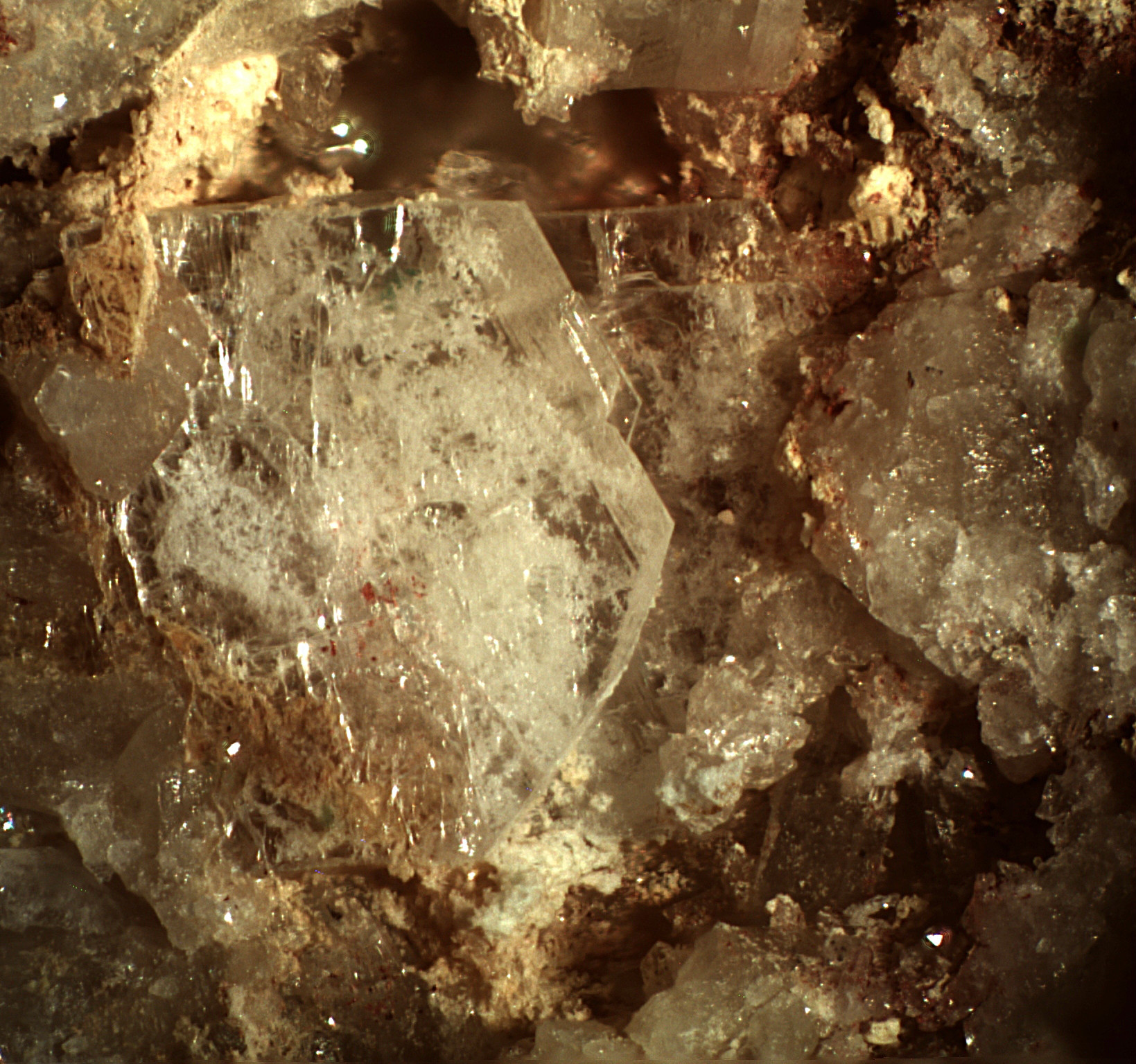
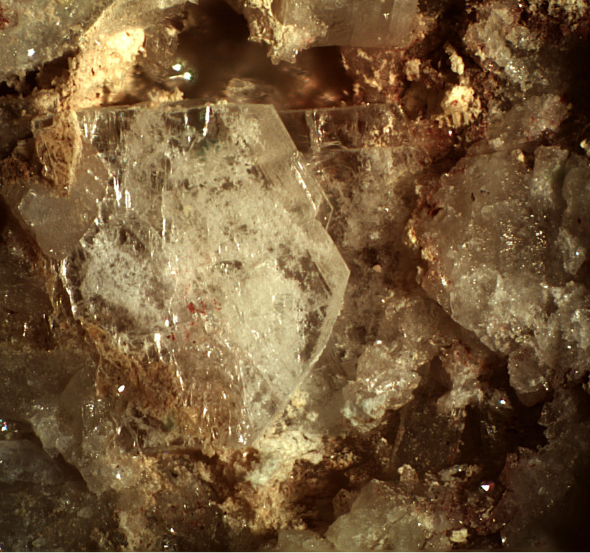
| Species: | Leadhillite |
| Formula: | Pb4(CO3)2(SO4)(OH)2 |
| Confirmation |
|---|
|
| Validity: | Confirmed |
| Confirmation Methods: | Visually Identified |
| Associated Minerals Based on Photo Data: |
|---|
|
| Anglesite | ⓘ1 photo of Leadhillite associated with Anglesite at this locality. |
| Hematite | ⓘ1 photo of Leadhillite associated with Hematite at this locality. |
| Data |
|---|
|
| Mineral Data: | Click here to view Leadhillite data |
| Locality Data: | Click here to view Evening Star Mine (Silver Queen Mine; Old Queen group), Tiger Wash, Tonopah, Osborn Mining District, Maricopa County, Arizona, USA |
| Data Identifiers |
|---|
|
| Mindat Occurrence Record ID: | 827600 |
| Long-form Identifier: | 1:3:827600:1 |
| GUID (UUID V4): | 709edcb7-c2ba-431b-92e2-e2142868cd6e |
| Nearest other occurrences of Leadhillite |
|---|
|
|
| 26.8km (16.7 miles) | ⓘTonopah-Belmont Mine, Belmont Mountain, Tonopah, Osborn Mining District, Maricopa County, Arizona, USA |
| 74.3km (46.2 miles) | ⓘRowley Mine, Theba, Painted Rock Mining District, Painted Rock Mountains, Maricopa County, Arizona, USA |
| 80.2km (49.8 miles) | ⓘChampie Mine (Lehman Mine; Lehman Copper Mine; Lone Star Mine; UFO claims; Cersa Moje 1-7 claims; Rhoades-Iola claims), Copperopolis, Castle Creek Mining District, Bradshaw Mountains (Bradshaw Range), Yavapai County, Arizona, USA |
| References |
|---|
|
Yang, Hexiong, Andrade, Marcelo B., Downs, Robert T., Gibbs, Ronald B., Jenkins, Robert A. (2016) Raygrantite, Pb10Zn(SO4)6(SiO4)2(OH)2,a new mineral isostructural with iranite, from the Big Horn Mountains, Maricopa County, Arizona, USA. The Canadian Mineralogist, 54 (3) 625-634 doi:10.3749/canmin.1500058 |


Evening Star Mine, Tiger Wash, Tonopah, Osborn Mining District, Maricopa County, Arizona, USA