| Locality type: | Mine |
| Classification |
|---|
|
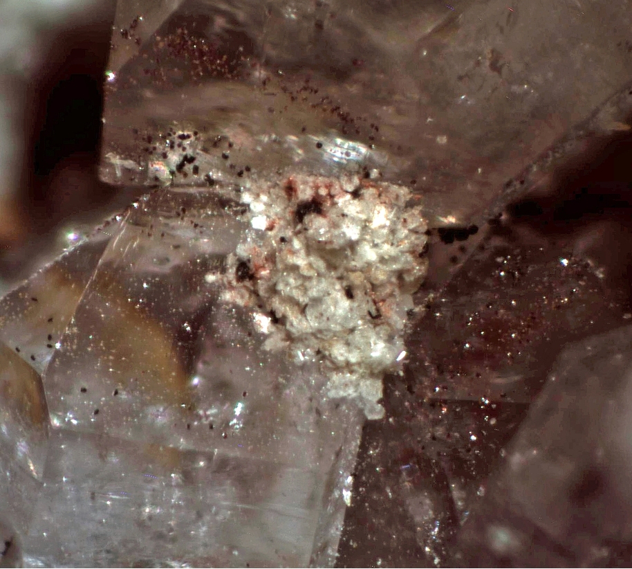
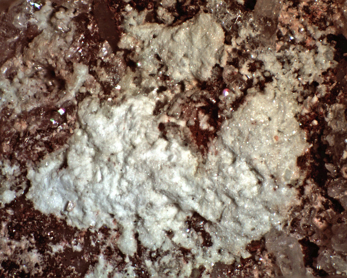
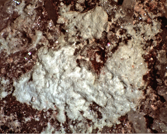
| Species: | Muscovite var: Illite |
| Formula: | K0.65Al2.0[Al0.65Si3.35O10](OH)2 |
| Confirmation |
|---|
|
| Validity: | Confirmed |
| Confirmation Methods: | Raman Spectroscopy |
| Associated Minerals Based on Photo Data: |
|---|
|
| Quartz | ⓘ1 photo of Illite associated with Quartz at this locality. |
| Data |
|---|
|
| Mineral Data: | Click here to view Illite data |
| Locality Data: | Click here to view Gallagher Vanadium & Rare Minerals Corp Mine, Tombstone Mining District, Cochise County, Arizona, USA |
| Photo Gallery | View Gallery (2 photos) |
| Data Identifiers |
|---|
|
| Mindat Occurrence Record ID: | 1208307 |
| Long-form Identifier: | 1:3:1208307:9 |
| GUID (UUID V4): | 12bdf5f8-e137-4b1e-b1d9-8b05ff0eb640 |
| Nearest other occurrences of Illite |
|---|
|
|
| 28.9km (17.9 miles) | ⓘKartchner Caverns, Whetstone Mining District, Cochise County, Arizona, USA |
| 30.6km (19.0 miles) | ⓘFesterling Mine (Elsicor Mine; Cora Mine), Black Diamond Peak, Middle Pass Mining District, Cochise County, Arizona, USA |
| 32.7km (20.3 miles) | ⓘSacramento Hill, Bisbee, Cochise County, Arizona, USA |
| 56.3km (35.0 miles) | ⓘRed Mountain Mine (Red Mountain Copper prospect; Gem Mine; Carlton property; Ten Grand Mine; Red Mountain project), Red Mountain, Patagonia Mountains, Santa Cruz County, Arizona, USA |
| 58.0km (36.0 miles) | ⓘCross Hill Quarry (Pantano Clay deposit; Mineral Lease No. 23880C), Pantano Wash, Rincon Valley, Pima County, Arizona, USA |
| 60.7km (37.7 miles) | ⓘSunnyside & Volcano Mines (Sunnyside Mine group; Volcano-Sunnyside Mine; Sunnyside Mine), Alum Gulch, Harshaw Mining District, Patagonia Mountains, Santa Cruz County, Arizona, USA |
| 61.3km (38.1 miles) | ⓘWillcox Playa, Willcox, Cochise County, Arizona, USA |
| References |
|---|
|
|


Gallagher Vanadium & Rare Minerals Corp Mine, Tombstone Mining District, Cochise County, Arizona, USA