| Locality type: | Commune |
| Classification |
|---|
|
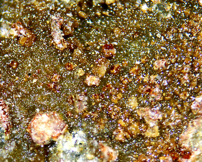
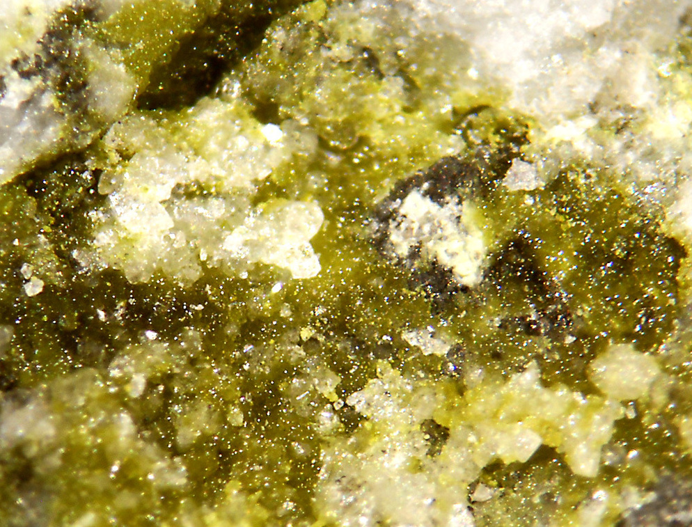
| Species: | Segnitite |
| Formula: | PbFe33+AsO4(AsO3OH)(OH)6 |
| Confirmation |
|---|
|
| Validity: | Believed Valid |
| Associated Minerals Based on Photo Data: |
|---|
|
| Carminite | ⓘ1 photo of Segnitite associated with Carminite at this locality. |
| Data |
|---|
|
| Mineral Data: | Click here to view Segnitite data |
| Locality Data: | Click here to view Comeglians, Udine Province, Friuli Venezia Giulia, Italy |
| Photo Gallery | View Gallery (2 photos) |
| Data Identifiers |
|---|
|
| Mindat Occurrence Record ID: | 1230985 |
| Long-form Identifier: | 1:3:1230985:2 |
| GUID (UUID V4): | 547e17b2-2c34-4587-8969-12cf9ab233cc |
| Nearest other occurrences of Segnitite |
|---|
|
|
| 36.2km (22.5 miles) | ⓘHofer shaft, Schlossberg, Lienz, Lienz District, Tyrol, Austria |
| 36.2km (22.5 miles) | ⓘSchlossberg, Lienz, Lienz District, Tyrol, Austria |
| 48.2km (29.9 miles) | ⓘGuggenbichl (Guginock), Siflitz, Kleblach-Lind, Spittal an der Drau District, Carinthia, Austria |
| 60.7km (37.7 miles) | ⓘProspect above Augustin adit, Rauriser Goldberg, Kolm-Saigurn, Alteck - Hoher Sonnblick area, Rauris, Zell am See District, Salzburg, Austria |
| 61.2km (38.0 miles) | ⓘGold mine (Goldzeche), Zirmsee area, Heiligenblut am Großglockner, Spittal an der Drau District, Carinthia, Austria |
| 64.8km (40.2 miles) | ⓘKloben gold mines (south slope), Heiligenblut am Großglockner, Spittal an der Drau District, Carinthia, Austria |
| References |
|---|
|
Bortolozzi, G.M., Bracco, R., De Tuoni, F., Vidus, L., Bittarello, E., Marengo, A., Ciriotti, M.E., Zorzi, F. (2018) Antiche miniere e affioramenti metalliferi a Comeglians (Val Degano, Friuli-Venezia Giulia): recenti ritrovamenti. Micro, 16, 1-2018, 2-36. |
| Reference Search (possible matching items) |
|---|
 | | Book (volume) | | Ca2B4O4(OH)7Cl·7H2O Locality: Salar de Carcote deposit, El Loa province, Antofagasta, Chile. Description: Colourless crystal...borax deposit, Salar del Hombre Muerto, Salta province, Argentina (type locality). Description: Colourless...District, Vakinankaratra Region, Antananarivo Province, Madagascar. Description: Grey grains from the...borax deposit, Salar del Hombre Muerto, Salta Province, Argentina. Description: Colourless crystal. Identified... Locality: Larderello, Val di Cecina, Tuscany, Italy (type locality). Description: White powdery aggregate |
|


Comeglians, Udine Province, Friuli Venezia Giulia, Italy