| Locality type: | Mountain |
| Classification |
|---|
|
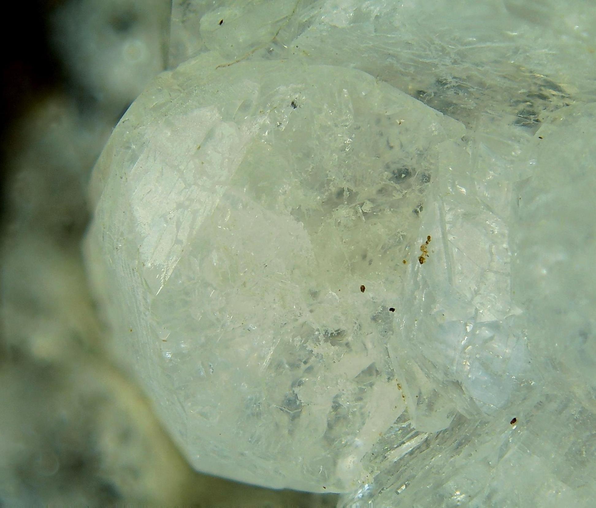
| Species: | Fluorapophyllite-(K) |
| Formula: | KCa4(Si8O20)(F,OH) · 8H2O |
| Confirmation |
|---|
|
| Validity: | Believed Valid |
| Data |
|---|
|
| Mineral Data: | Click here to view Fluorapophyllite-(K) data |
| Locality Data: | Click here to view Harper Mountain, Spray, Wheeler County, Oregon, USA |
| Data Identifiers |
|---|
|
| Mindat Occurrence Record ID: | 105601 |
| Long-form Identifier: | 1:3:105601:3 |
| GUID (UUID V4): | ab072352-d9dd-4423-8576-1accd8cd9783 |
| Nearest other occurrences of Fluorapophyllite-(K) |
|---|
|
|
| 7.5km (4.7 miles) | ⓘJuniper Canyon, Spray, Wheeler County, Oregon, USA |
| 16.1km (10.0 miles) | ⓘBurnt Cabin Creek, Spray, Wheeler County, Oregon, USA |
| 21.2km (13.2 miles) | ⓘBig Bend, Kimberley, Grant County, Oregon, USA |
| 34.4km (21.4 miles) | ⓘMonument Quarry, Monument, Grant County, Oregon, USA |
| 54.6km (33.9 miles) | ⓘDevils Backbone, North Fork John Day River, Grant County, Oregon, USA |
| 61.2km (38.0 miles) | ⓘRoadside Quarry, Ritter, Grant County, Oregon, USA |
| 61.7km (38.3 miles) | ⓘUpper Ritter Quarry, Ritter, Grant County, Oregon, USA |
| References |
|---|
|
|


Harper Mountain, Spray, Wheeler County, Oregon, USA