| Locality type: | Creek |
| Classification |
|---|
|
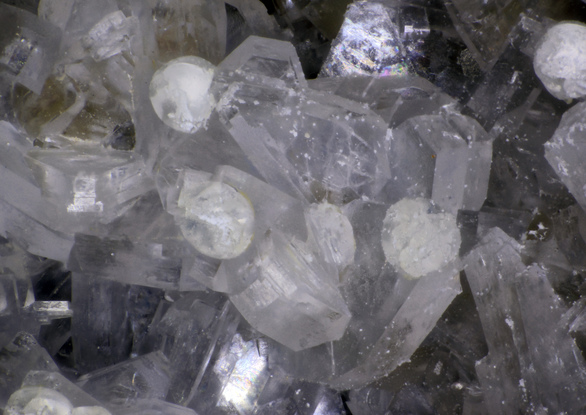
| Species: | 'Heulandite Subgroup' (not an IMA approved species) |
| Formula: | (Na/Ca/K)5-6[Al8-9 Si27-28 O72] · nH2O |
| Confirmation |
|---|
|
| Validity: | Confirmed |
| Confirmation Methods: | Visually Identified |
| Associated Minerals Based on Photo Data: |
|---|
|
| Apophyllite Group | ⓘ5 photos of Heulandite Subgroup associated with Apophyllite Group at this locality. |
| Thomsonite Subgroup | ⓘ4 photos of Heulandite Subgroup associated with Thomsonite Subgroup at this locality. |
| Data |
|---|
|
| Mineral Data: | Click here to view Heulandite Subgroup data |
| Locality Data: | Click here to view Shotgun Creek, Linn County, Oregon, USA |
| Data Identifiers |
|---|
|
| Mindat Occurrence Record ID: | 1096961 |
| Long-form Identifier: | 1:3:1096961:4 |
| GUID (UUID V4): | 09fd11aa-1e9a-463b-8b73-5124eb70206b |
| Nearest other occurrences of Heulandite Subgroup |
|---|
|
|
| 0.5km (0.3 miles) | ⓘShotgun Creek, Lane County, Oregon, USA |
| 8.3km (5.2 miles) | ⓘBuck Mountain, Springfield, Lane County, Oregon, USA |
| 11.2km (7.0 miles) | ⓘMcGowan Creek, Lane County, Oregon, USA |
| 12.8km (7.9 miles) | ⓘM-120, Springfield, Lane County, Oregon, USA |
| 25.2km (15.7 miles) | ⓘSpringfield Quarry, Springfield, Lane County, Oregon, USA |
| 27.2km (16.9 miles) | ⓘMount Pisgah, Springfield, Lane County, Oregon, USA |
| 28.1km (17.4 miles) | ⓘCalapooya River, Dollar, Linn County, Oregon, USA |
| 36.3km (22.6 miles) | ⓘGreen Peter Dam, Quartzville Mining District, Linn County, Oregon, USA |
| 37.6km (23.3 miles) | ⓘCascadia, Linn County, Oregon, USA |
| 49.5km (30.8 miles) | ⓘLorane Quarry, Lorane, Lane County, Oregon, USA |
| References |
|---|
|
|


Shotgun Creek, Linn County, Oregon, USA