 | | Book | | Islands Juan Carlos Carracedo & Simon Day 5. The north of Ireland Paul Lyle 6. Leinster Chris Stillman...onNewMinerals,Nomenclature andClass::ication. Co. County. EMPElectronmicroprobe - an instrument usedto ...with older fluorite specimens from Weardale in County Durham being a case in point. Many of these specimens..."Cumberland", "Alston" or "Alston Moor" (Cumberland as a county no longer exists, as it was merged with Westmorland...Westmorland in the mid- I 970s to form the new county of Cumbria). The confusion appears to have occurred during |  | | Report (volume) | | Bibliograp~y- of North Anlerican Geology, 1969 ~ ' ~ SURVEY - • r -:-...- .... -- - " --........._ . B U L L E T I_N Bibliography of North Ameri an Geology, 196 GEOLOGICAL SURVEY BULLETIN...Bibliography Index . . . . VII III BIBLIOGRAPHY OF NORTH AMERICAN GEOLOGY 1969 INTRODUCTION The current...current annual volume of the "Bibliography of North American Geology" lists publications that appeared during...during 1969 concerning the geology of the North American continent, Greenland, the West Indies and adjacent |  | | Book | | Publishing Scripta Company, Washington, DC 20005 USA. Acta Chemica Scandinavica, 1947-, Munksgaard, Noerre...Ohio 43214, USA. American Chemical Society, Journal, 1879-, Washington, DC 20036, USA. American Crystallographic...Penn- USA. American Journal of Science, 1818- Yale University, New Haven, Connecticut 06520, USA. PREFACE... PREFACE 1909 K Street NW, Washington, DC 20006, USA. Arkiv for Mineralogi och Geologi, 1949-, Almqvist...The Ohio State University, Columbus, Ohio 43210, USA. Chemical Geology, 1966-, An International -Journal |
|


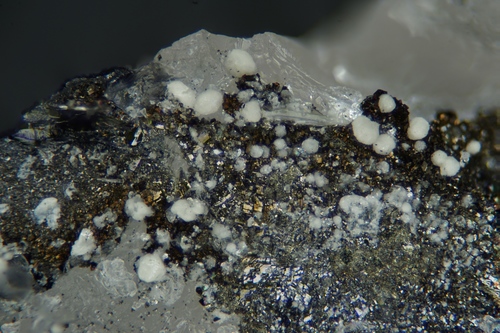


Redmond Mine, Waterville Lake, Haywood County, North Carolina, USA