| Locality type: | Claim |
| Classification |
|---|
|
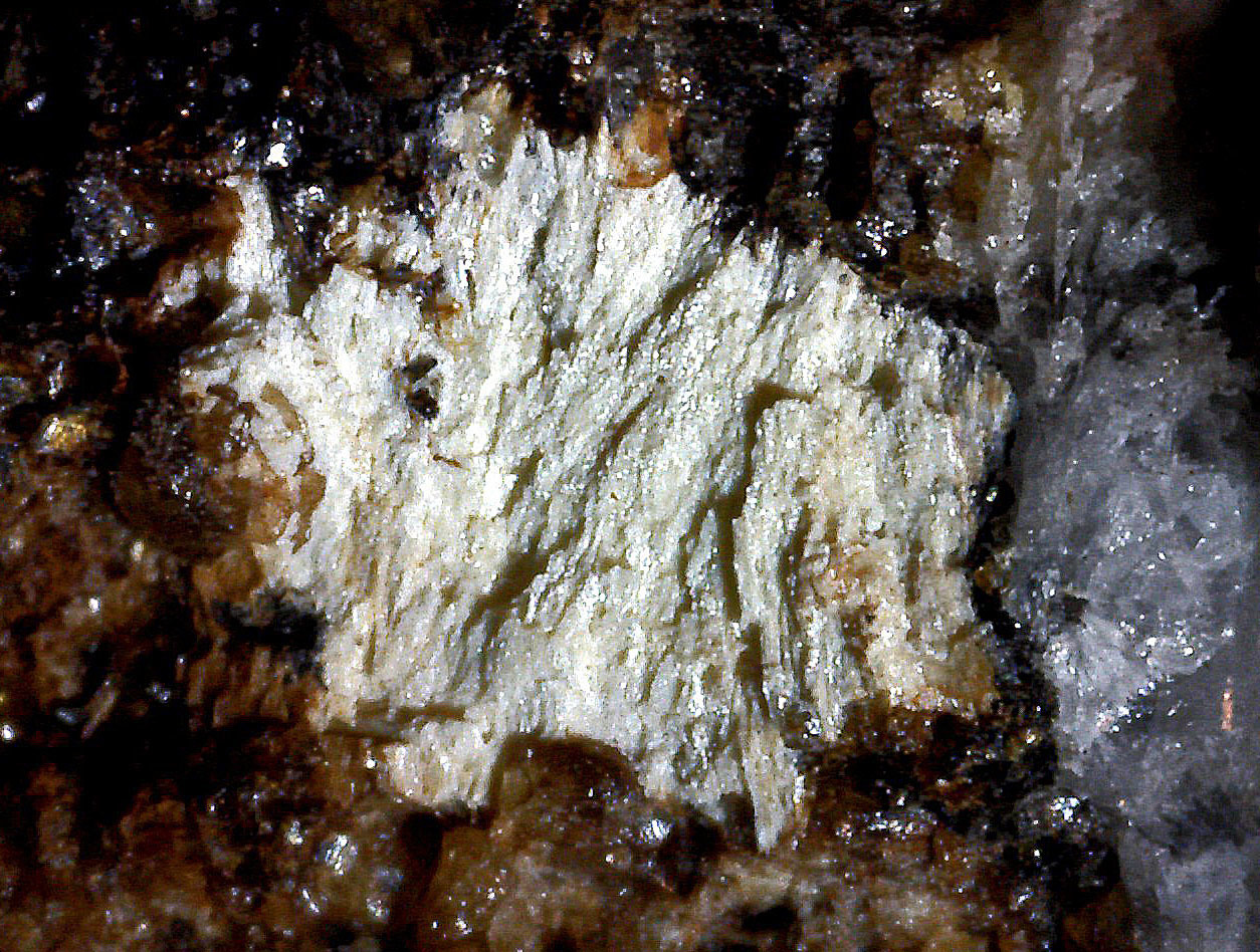
| Species: | Kettnerite |
| Formula: | CaBiCO3OF |
| Confirmation |
|---|
|
| Validity: | Confirmed |
| Confirmation Methods: | Visually Identified |
| Data |
|---|
|
| Mineral Data: | Click here to view Kettnerite data |
| Locality Data: | Click here to view Vic 10 claim, Victorio group, Victorio District (Gage District), Victorio Mountains, Luna County, New Mexico, USA |
| Photo Gallery | View Gallery (2 photos) |
| Data Identifiers |
|---|
|
| Mindat Occurrence Record ID: | 1292359 |
| Long-form Identifier: | 1:3:1292359:1 |
| GUID (UUID V4): | 99c475c9-f6cb-49fa-a836-65dcefbdce53 |
| Nearest other occurrences of Kettnerite |
|---|
|
|
| 1.8km (1.1 miles) | ⓘRob 244 Claim, Victorio District (Gage District), Victorio Mountains, Luna County, New Mexico, USA |
| 2.7km (1.7 miles) | ⓘOgre-Bogle group of claims (Tedford's group), Victorio District (Gage District), Victorio Mountains, Luna County, New Mexico, USA |
| 3.0km (1.8 miles) | ⓘIrish Rose Mine (Morlock-Eloi Mine), Victorio District (Gage District), Victorio Mountains, Luna County, New Mexico, USA |
| 3.0km (1.9 miles) | ⓘTungsten Hill shaft, Victorio District (Gage District), Victorio Mountains, Luna County, New Mexico, USA |
| 3.1km (1.9 miles) | ⓘGulf Oil Victorio Project, Victorio District (Gage District), Victorio Mountains, Luna County, New Mexico, USA |
| 3.2km (2.0 miles) | ⓘVic 26 claim, Victorio group, Victorio District (Gage District), Victorio Mountains, Luna County, New Mexico, USA |
| 43.7km (27.1 miles) | ⓘAnderson-Apache mine, Apache No. 2 Mining District, Hidalgo County, New Mexico, USA |
| References |
|---|
|
|


Vic 10 claim, Victorio group, Victorio District, Victorio Mountains, Luna County, New Mexico, USA