| Locality type: | Mine |
| Classification |
|---|
|
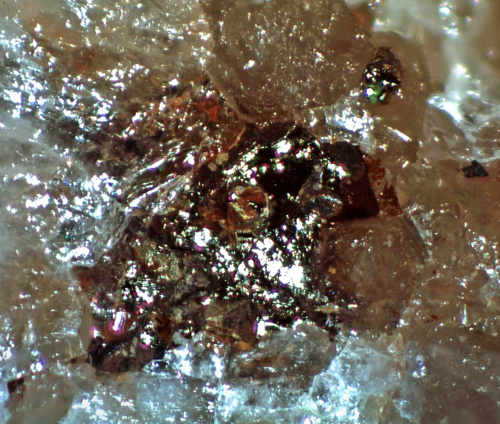
| Species: | Chalcopyrite |
| Formula: | CuFeS2 |
| Confirmation |
|---|
|
| Validity: | Believed Valid |
| Associated Minerals Based on Photo Data: |
|---|
|
| Quartz | ⓘ1 photo of Chalcopyrite associated with Quartz at this locality. |
| Data |
|---|
|
| Mineral Data: | Click here to view Chalcopyrite data |
| Locality Data: | Click here to view Yuba Mine (Inghram Mine), Hughes Gulch, Greaterville placer deposits, Greaterville, Greaterville Mining District, Pima County, Arizona, USA |
| Data Identifiers |
|---|
|
| Mindat Occurrence Record ID: | 178577 |
| Long-form Identifier: | 1:3:178577:7 |
| GUID (UUID V4): | 39e484e4-ccdb-4aa4-9bdb-6b2e2ad08950 |
| Nearest other occurrences of Chalcopyrite |
|---|
|
|
| 0.7km (0.5 miles) | ⓘQuebec Mine, N Gulch, Greaterville placer deposits, Greaterville, Greaterville Mining District, Pima County, Arizona, USA |
| 0.8km (0.5 miles) | ⓘFriez Mine (Friez prospect; Gold Bug Mine), Enzenberg Canyon, Greaterville Mining District, Pima County, Arizona, USA |
| 1.4km (0.9 miles) | ⓘOphir prospect, Greaterville Mining District, Pima County, Arizona, USA |
| 1.4km (0.9 miles) | ⓘEnzenberg Mine (Mountain King Mine; Silver Butte Mine [?]), Castle Dome, Greaterville, Greaterville Mining District, Pima County, Arizona, USA |
| 2.0km (1.2 miles) | ⓘSt. Louis Mine (Morning Star Mine; Isabel), St. Louis Gulch, Hughes Gulch, Greaterville placer deposits, Greaterville, Greaterville Mining District, Pima County, Arizona, USA |
| 2.6km (1.6 miles) | ⓘBuckhorn Mine (Wisconsin Mine), Greaterville, Greaterville Mining District, Pima County, Arizona, USA |
| 3.9km (2.4 miles) | ⓘConglomerate Mine (Anderson Mine; Snyder Mine; Silver Moon; Sonoita; Reese; Colossa; Aurum; A.W.A.; Anderson prospect), Fish Canyon, Greaterville, Greaterville Mining District, Pima County, Arizona, USA |
| 4.5km (2.8 miles) | ⓘArrastra Mine, Greaterville Mining District, Pima County, Arizona, USA |
| 5.0km (3.1 miles) | ⓘGolden Gate Mine group, Rosemont (Rosemont Camp), Helvetia-Rosemont Mining District, Pima County, Arizona, USA |
| 5.0km (3.1 miles) | ⓘFlorida Mine, Robinson property (Robinson group), Stone Cabin Canyon, Old Baldy Mining District, Pima County, Arizona, USA |
| References |
|---|
|
|


Yuba Mine, Hughes Gulch, Greaterville placer deposits, Greaterville, Greaterville Mining District, Pima County, Arizona, USA