 | | Journal (article/letter/editorial) | | [University of Connecticut] at 20:42 14 January 2015 South Dakota is perhaps best known for its pegmatites, which...Hills are responsible for the accessibility of South Dakota’s itbundant and diverse mineral locations...secondary phosphate minerals. Although some pegmatite mining for feldspar still continues (Jacobson 1994). the...except for the Homestake mine, which has operated for more than 120 years, most mining in the area peaked in...and fewer chances to obtain any. However, some mining, mineral exploration, and mineral collecting continues |  | | Report (issue) | | STATE OF SOUTH DAKOTA Nils Boe, Governor MINERALOGY OF THE BLACK HILLS by WILLARD LINCOLN ROBERTS...Associate in Mineralogy Museum of Geology, South Dakota School of Mines and Technology and GEORGE RAPP...Department of Geology and Geological Engineering, South Dakota School of Mines and Technology With the Editorial...Mineralogy South Dakota School of Mines and Technology BULLETIN NUMBER 18 of the South Dakota School of...of Mines and Technology Rapid City, South Dakota PUBLICATIONS STAFF F. L. Partlo J. T. Thomas President |  | | Report (issue) | | SURVEY Locatable Mineral Reports for Colorado, South Dakota, and Wyoming provided to the U.S. Forest Service........ . . ............ 10 Pike National Forest County of El Paso (Black Forest) Land Exchange Offer ...Creek Land Exchange Offer .............. 153 SOUTH DAKOTA ............................................................. Black Hills National Forest South Dakota Department of Transportation Land Exchange Offer...................... 48 Fig. 14. Map 12-Offered mining claims-Quartz Creek & Cumberland Pass areas (provided |  | | Journal (article/letter/editorial) | | metamorphic rocks in the southern Black Hills, South Dakota JnvrnsJ. Nonrox* Branch of Central Mineral Resources...Center, Denver, Colorado 80225, U.S.A., and South Dakota School of Mines and Technology, Department of...Geology and Geological Engineering, Rapid City, South Dakota 57701,U.S.A. Ansrnlcr The pegmatite field and...Harney Peak Granite of the southern Black Hills, South Dakota, form an igneous system that progrcssesfrom...satellitic plutons in the southern Black Hills, South Dakota, are surrounded by a region containing about |  | | Journal (article/letter/editorial) | | Ryan, where centered in former years the extensive mining activities of a famous borax company, also a number...President is Mr. Hazen T. Perry, 2501 Girard Avenue South, Minneapolis, Minn., and Federation Secretary is...of coal and included the development of mine lamps and mine safety equipment. Since Mr. Kondrosky grew...region of Pennsylvania and was actively engaged in mining for more than twenty years, his talk was liberally...the romance of coal and the problems involved in mining it. • Mr. Kondrosky's interest in rocks began as |  | | Report (issue) | | UC-NRLF B 3 JTH am IDD DAKOTA GEOLOGICAL SURVEY BULLETIN NO. J. E. 3 TODD, STATE GEOLOGIST ... MINERAL RESOURCES OF SOUTH DAKOTA INCLUDING MINERAL WEALTH OF THE BLACK HILLS BY CLEOPHAS C. O^HARRA...MINERAL BUILDSSUM&^RIAL FUELS AND WATERS OF SOUTH DAKOTA > WITH PRODUCTION FOR IQOO BY JAMES E. TQ02...TQ02 TODD EARTH SCIENC LIBRARY GIFT OF SOUTH DAKOTA GEOLOGICAL SURVEY BULLETIN NO. J. E. 3. TODD...TODD, STATE GEOLOGIST MINERAL RESOURCES OF SOUTH DAKOTA INCLUDING MINERAL WEALTH OF THE BLACK HILLS |  | | Report (issue) | | and Tertiary Age of the Northern Black Hills, South Dakota by Lewis H. Shapiro I APR 2 3 1970 DENVER...Geological Engineering South Dakota School of Mines and Technology Rapid City, South Dakota Submitted in accordance...AND IN ALL EARLIER LITERATURE ON THE RUBY BASIN DISTRICT. COLOR KEY FOR ALL MAPS IN THIS REPORT Rock....... 45 Mining Districts ....................... 49 4.1 Bald Mountain Mining District ............Bald Mountain District ....... 49 4.13. Geology of the Bald Mountain Mining District ... 51 ... |  | | Report (issue) | | SALT LAKE CITY, Utah-Federal Bldg., Rm. 8105,125 South State St. SAN FRANCISCO, California-Customhouse...Terranes Part I Geographic Distribution of Gold Mining Regions and Types of Deposits in the United States...Exploration Guides for Gold Deposits, Black Hills, South Dakota By JACK A. REDDEN and GREGORY McN. FRENCH U...bibliographies. Contents: Geographic distribution of gold mining regions and types of deposits in the United States...Black Hills, South Dakota / by Jack A. Redden and Gregory McN. French. 1. Gold mines and mining United States |  | | Report (issue) | | SURVEY Locatable Mineral Reports for Colorado, South Dakota, and Wyoming provided to the U.S. Forest Service...San Isabel and White River National Forests Lake County Land Exchange Offer (Iocmin40) ......................... 47 White River National Forest Dillon District Land Exchange Joint Venture (Iocmin38) .........(Iocmin42) .............................. 106 SOUTH DAKOTA ..............................................mines and prospects and locations of Parcels A-D. Mine and prospect locations from USGS (1998a,b) .... |  | | Report (issue) | | ................................ 8 1.4.1.2 Acid Mine Drainage .........................................Characteristics of the Ore and Relationship to Acid Mine Drainage .................................................................. 32 2.7.1 Quartzburg District ........................................................................ 32 2.7.2 Grimes Pass District .......................................................................... 32 2.7.3 Gambrinus District ............................................. | 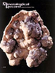 | | Journal (issue) | | call for appointment Tourmaline Tourmaline Queen Mine Pala, California NEW ACQUISITIONS: RUTILE from...the Department of Geology of the University of South Caro lina in Columbia. It was a pleasant and exhilerating...Department of Geology Museum, University of South Carolina, Columbia, South Carolina. Perhaps the collection, begun...hiddenite specimens in his collection from Alexander County, North Carolina, and those superb quartz crystal...surprisingly good specimens. Nowadays the University of South Carolina’s collection cannot be classed as one of |  | | Report (issue) | | limestone or dolomite. It is a useful ore guide in many mining districts UNITED STATES GOVERNMENT PRINTING OFFICE...Branch of Distribution, U.S. Geological Survey, 1200 South Eads Street, Arlington, VA 22202 CONTENTS Page........... Characteristics of jasperoid in major mining districts of the United States ..................................................... Tri-State district, Oklahoma, Kansas, and Missouri ................Clifton-Morenci district, Arizona .............................. Bisbee (Warren) district, Arizona .... |  | | Report (issue) | | AMERICA SOUTH DAKOTA 1989 THE NATIONAL GAZETTEER OF THE UNITED STATES OF AMERICA SOUTH DAKOTA 1989 "The... "The Pulpit," Badlands National Park, South Dakota. Apparently named for its resemblance to a ministerial...complex features characteristic of South Dakota Badlands. In South Dakota, the term "badlands" is generally...GAZETTEER OF THE UNITED STATES OF AMERICASOUTH DAKOTA 1989 U.S. GEOLOGICAL SURVEY PROFESSIONAL PAPER...National gazetteer of the United States of America. South Dakota 1989 / prepared by the U.S. Geological Survey |  | | Report (volume) | | Placer-Gold Deposits of the Jicarilla Mountains, Lincoln County, New Mexico By KENNETH SEGERSTROM and GEORGE E... . . . . . . . . . . . . . . . . . . . . . . . Dakota Sandstone . . . . . . . . . . . . . . . . . . ...and sections of the Jicarilla Mountains, Lincoln County, New Mexico ....................................PLACER-GOLD DEPOSITS OF THE JICARILLA MOUNTAINS, LINCOLN COUNTY, NEW MEXICO By KENNETH SEGERSTROM and GEORGE...the largest in New Mexico. Fanglomerate near the south (upstream) end of the deposit, with an area of 420 |  | | Report (volume) | | Bayhorse Area, Custer County, Idaho Ordovician and Older Rocks of the Bayhorse Area, Custer County, Idaho...19110rdovician and older rocks of the Bayhorse area, Custer County, Idaho I by S.W. Hobbs and W.H. Hays. p. em...Stratigraphic-Ordovician. 2. Geology-Idaho-Custer County. I. Hays, William Henry, 1922II. Title. Ill...Ordovician or older quartzite sequences 14 Clayton Mine Quartzite 15 Distribution 15 Character 15 Age 17...Bayhorse Region, Custer County, Idaho. FIGURES 1. Index map of the Bayhorse area, Custer County, Idaho 2 2 |  | | Report (issue) | | GOLD CAMPS & SILVER CITIES Nineteenth Century Mining in Central and Southern Idaho Merle W. Wells .... . . . . . . . . . . . . . . . . . . . . .. 1 South Boise (2) , 16 Owyhee (3) 26 Deadwood (4) 49 LongValley(5)...(14) 67 Lemhi (15) , , 72 Pearl (16) , , 74 76 South Mountain (17) Shoup and Ulysses (18) 76 won Creek...Rushes to Gouging: Mining Lessons Learned by 1869 , 85 Part II. New Camps and Chinese Mining, 1869-1878 87...Basin (34) Mineral City (35) Gilmore and the Viola Mining Region (36) Muldoon (37) Little Lost River (38) |  | | Report (issue) | | ......... Carbonate rocks in the Bayhorse mining district..............................................Hobbs.................................... Bayhorse district subterrane.................................................................................... Mining activity.........................................114°20' W.) gravity low.......................... Custer graben........................................................................... Golden Sunbeam mine area........................................... |  | | Report (volume) | | Branch of Distribution U.S. Geological Survey 604 South Pickett Street Alexandria, VA 22304 8~338 [QE170...geologic map 18 The use of maps in combination 19 Coal mining areas 19 Transportation routes 19 Townsites 19...mollusks from Sciponoceras zone, Tropic Shale, south of Escalante 14 13. Cretaceous sharks teeth from...Escalante 16 15. Sand crystals from Morrison Formation, south of Escalante 17 16. Narrow canyon cut in Navajo...terrain 22 21 . Present coal leases and proposed mining sites in relation to thickest coal, least amount |  | | Journal (article/letter/editorial) | | 2016 A History of Mineral Collecting at the Chino Mine VIRGIL W. LUETH New Mexico Bureau of Geology and...of Mining and Technology 801 Leroy Place Socorro, New Mexico 87801 vwlueth@nmt.edu Grant County, New...ron_gibbs@fmi.com robert_north@fmi.com T he Chino mine is probably one of the oldest collecting sites in...collected at the site since prehistoric time. The mine derives its name from the Spanish term for chalcopyrite...long been reported. The Chino mine is located in eastern Grant County, New Mexico, approximately 12 miles |  | | Report (volume) | | GEOLOGICAL SURVEY BULLETIN~2064-rA-R Cover. Looking south at the Mackay stock, southwest of Mackay, Idaho...1988), and on December 7, 1989, at the Northwest Mining Association 95th Annual Convention and Trade Show...the Mineral Hill and Warm Springs mining districts, Blaine County, Idaho: Idaho Bureau of Mines and Geology...Western Part of the Idaho Falls I°x2° Quadrangle, South-Central Idaho An Overview By Ronald G. Worl and...Northeastern Part of the Hailey I°x2° Quadrangle, South-Central Idaho By David W. Rodgers, Paul Karl Link |  | | Journal (issue) | | 8Y PATENTS AND APPLICATIONS IN THE MAJOR MINING PUMPS PROTECTED CENTERS OF THE WORLD TW-300...Truck Stop. Diesel Inc. Service (9-22-52) MINING WORLD, December, 1952. Volume 14 No. 13. Published...Subscription in United States, North Central and South America, $3.00 per year; other countries, $4.00...3, 1879. Postmaster please send notice 3579 to MINING WORLD, 71 Columbia St., Seattle 4, Washington ...+ Attrition Machines DECEMBER, 1952 {World Mining Minnesota * New York * Toronto, Canada DISTRIBUTORS |  | | Report (issue) | | the Paria-Hackberry Wilderness Study Area, Kane County, Utah U.S. GEOLOGICAL SURVEY BULLETIN 1748-B ...the Paria-Hackberry Wilderness Study Area, Kane County, Utah By HENRY BELL III, ALFRED L BUSH, ROBERT...the Paria-Hackberry wilderness study area, Kane County, Utah/by Henry Bell 111 ... [et al.]. p. cm. (Mineral...Paria-Hackberry (UT-040-247) Wilderness Study Area, Kane County, Utah. FOREWORD Henry Bell III, the senior author...Kane County, Utah FIGURES 1-5. Maps of the Paria-Hackberry Wilderness Study Area, Kane County, Utah: |  | | Report (volume) | | Boulder-Pioneer Wilderness Study Area, Blaine and Custer Counties, Idaho By U.S. GEOLOGICAL SURVEY and U...Boulder-Pioneer wilderness study area, Blaine and Custer Counties, Idaho B. Aeromagnetic studies of the...Boulder-Pioneer wilderness study area, Blaine and Custer Counties, Idaho C. A geological and geochemical...Boulder-Pioneer wilderness study areas, Blaine and Custer Counties, Idaho D. Economic appraisal of the Boulder-Pioneer...Boulder-Pioneer wilderness study area, Blaine and Custer Counties, Idaho STUDIES RELATED GEOLOGICAL SURVEY |  | | Report (issue) | | studies. GEOLOGIC MAP OF THE STIBNITE MINING AREA, VALLEY COUNTY, IDAHO Niki E. Wintzer 2022 Qal 00 ...For th 12 – OCmm 80 8300 75 The Stibnite mining area, as used herein, is bounded by the map extent...outline. Tectonic breccia. Historic Meadow Creek mine site. This map can be downloaded in PDF format...72 Ea 58 rk Fo 19 75 25 Qg Meadow Creek Mine 20 Zfm k 00 0 MGI-13-361 Cree MGI-09-2 52...bedding orientation in places. Quartz, biotite, calcite, and muscovite are common; calc-silicate minerals |  | | Report (issue) | | published information, field investigations, and mining company data. 2 ABBREVIATIONS USED IN THIS REPORT...resources Mining districts Gibbonsville Mining District Indian Creek Mining District Mineral Hill Mining District...Mackinaw Mining District Blackbird Mining District Wilson Creek Mining District Yellowjacket Mining District...Range Mining District Eureka Mining District Carmen Creek Mining District Eldorado Mining District Pratt...Creek Mining District McDevitt Mining District Junction Mining District Texas Mining District Spring |
|

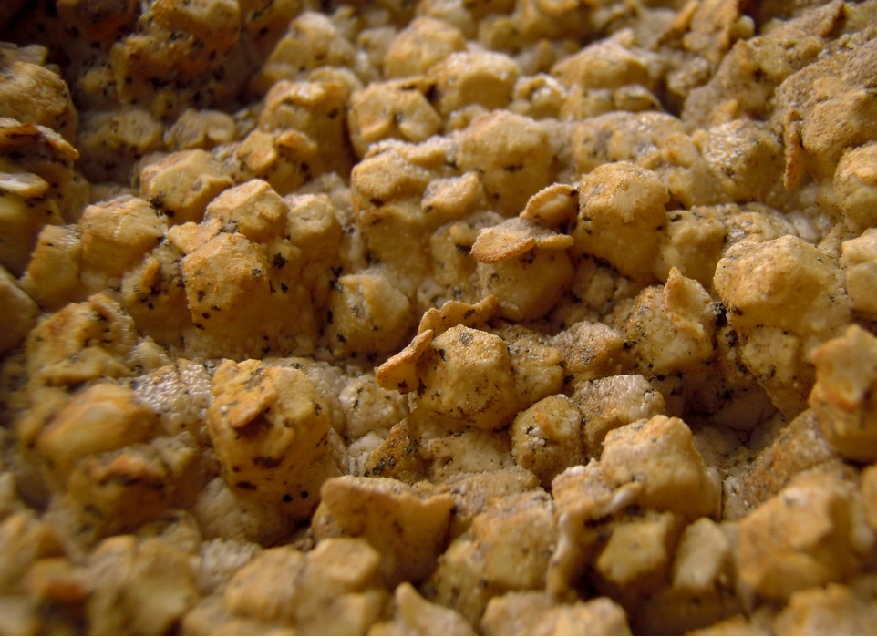
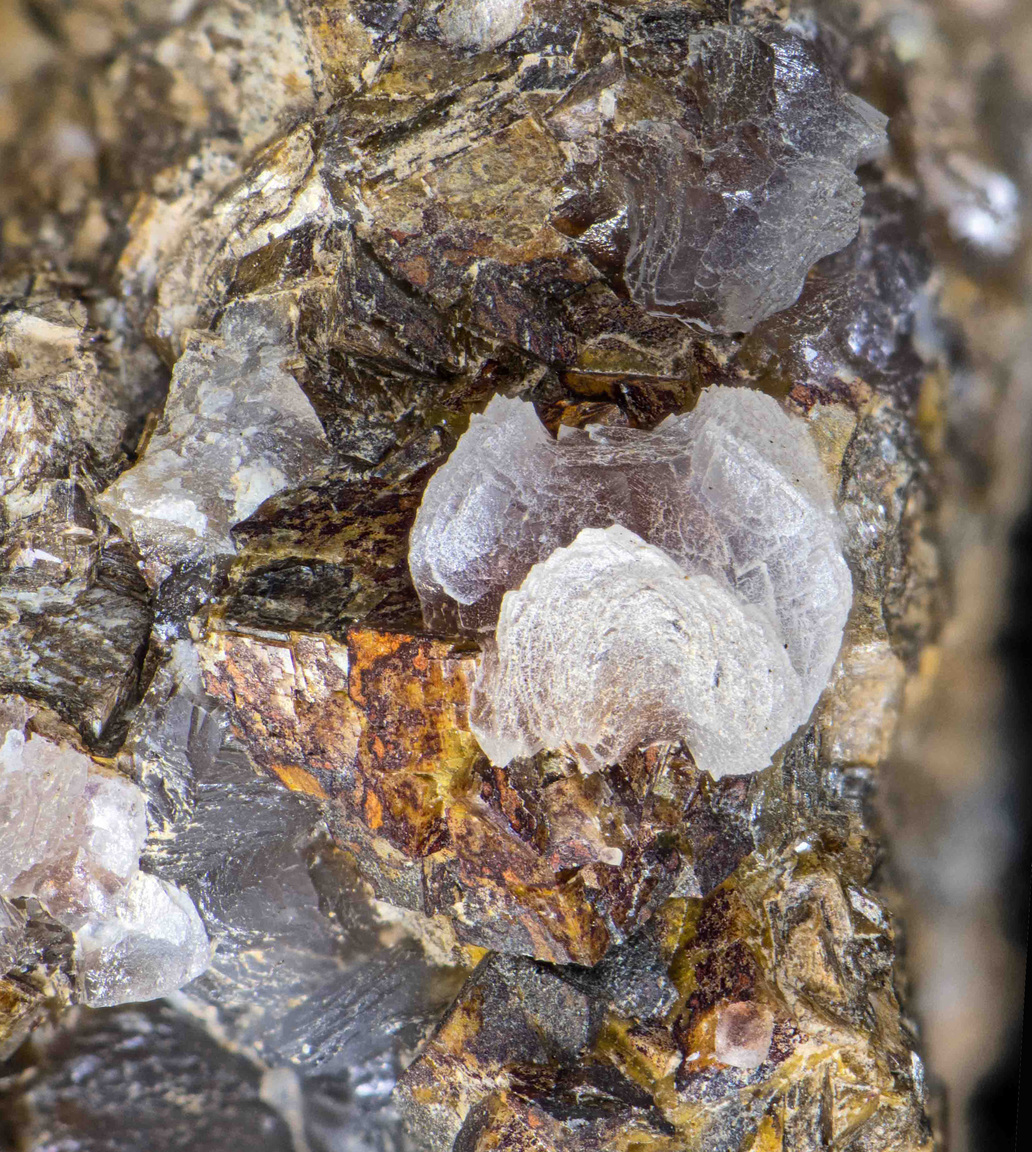
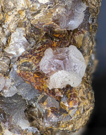


Townsite mine, Pringle, Custer Mining District, Custer County, South Dakota, USA