| Locality type: | Road Cutting |
| Classification |
|---|
|
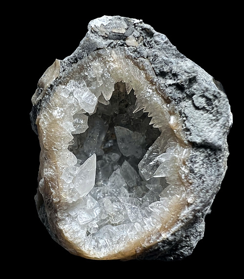
| Species: | Calcite |
| Formula: | CaCO3 |
| Confirmation |
|---|
|
| Validity: | Believed Valid |
| Associated Minerals Based on Photo Data: |
|---|
|
| Celestine | ⓘ5 photos of Calcite associated with Celestine at this locality. |
| Dolomite | ⓘ1 photo of Calcite associated with Dolomite at this locality. |
| Data |
|---|
|
| Mineral Data: | Click here to view Calcite data |
| Locality Data: | Click here to view Route 125 roadcuts, Lewis Township, Brown County, Ohio, USA |
| Photo Gallery | View Gallery (3 photos) |
| Data Identifiers |
|---|
|
| Mindat Occurrence Record ID: | 225869 |
| Long-form Identifier: | 1:3:225869:0 |
| GUID (UUID V4): | 98e8c573-3ca4-4a5e-80ed-d54af9fdea21 |
| Nearest other occurrences of Calcite |
|---|
|
|
| 25.5km (15.9 miles) | ⓘEagle Quarry, Winchester, Brown County, Ohio, USA |
| 44.6km (27.7 miles) | ⓘLouden, Adams County, Ohio, USA |
| 49.0km (30.5 miles) | ⓘSerpent Mound disturbance, Adams County, Ohio, USA |
| 49.3km (30.7 miles) | ⓘLocust Grove, Adams County, Ohio, USA |
| 50.0km (31.1 miles) | ⓘHanson Aggregates Inc. Plum Run Quarry, Peebles, Adams County, Ohio, USA |
| 50.9km (31.6 miles) | ⓘSinking Spring (3), Highland County, Ohio, USA |
| 51.1km (31.8 miles) | ⓘNorfolk and Western Railroad cut, Beaver Pond, Franklin Township, Adams County, Ohio, USA |
| 51.5km (32.0 miles) | ⓘSinking Spring (1), Highland County, Ohio, USA |
| 53.5km (33.2 miles) | ⓘSinking Spring (2), Highland County, Ohio, USA |
| 54.5km (33.9 miles) | ⓘFranklin Township, Adams County, Ohio, USA |
| References |
|---|
|
|


Route 125 roadcuts, Lewis Township, Brown County, Ohio, USA