| Classification |
|---|
|
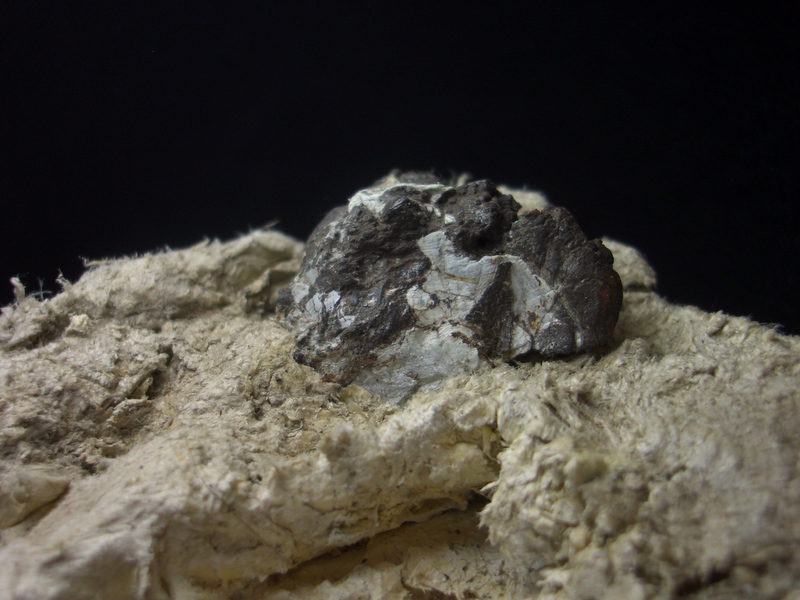
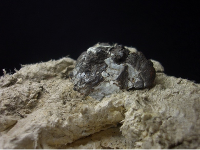
| Species: | Copper |
| Formula: | Cu |
| Confirmation |
|---|
|
| Validity: | Believed Valid |
| Associated Minerals Based on Photo Data: |
|---|
|
| Mountain Leather | ⓘ3 photos of Copper associated with Mountain Leather at this locality. |
| Data |
|---|
|
| Mineral Data: | Click here to view Copper data |
| Locality Data: | Click here to view Totenkopf (incl. Lower Riffl glacier), Uttendorf, Zell am See District, Salzburg, Austria |
| Photo Gallery | View Gallery (3 photos) |
| Data Identifiers |
|---|
|
| Mindat Occurrence Record ID: | 238387 |
| Long-form Identifier: | 1:3:238387:3 |
| GUID (UUID V4): | eaf205a0-31c4-45e8-bf39-7685da64bebe |
| Nearest other occurrences of Copper |
|---|
|
|
| 12.6km (7.8 miles) | ⓘBrennkogel north slope (Gold district), Fusch an der Grossglocknerstrasse, Zell am See District, Salzburg, Austria |
| 15.9km (9.9 miles) | ⓘLechnerberg slag locality, Kaprun, Zell am See District, Salzburg, Austria |
| 20.0km (12.5 miles) | ⓘLimberg mining area, Zell am See, Zell am See District, Salzburg, Austria |
| 22.8km (14.2 miles) | ⓘBärenbad Mine, Scharnbachgraben, Hollersbach im Pinzgau, Zell am See District, Salzburg, Austria |
| 25.5km (15.8 miles) | ⓘAstenschmiede slag locality, Rauris, Zell am See District, Salzburg, Austria |
| 26.5km (16.5 miles) | ⓘSlag localities, Kolm-Saigurn, Alteck - Hoher Sonnblick area, Rauris, Zell am See District, Salzburg, Austria |
| 26.7km (16.6 miles) | ⓘBrenntal, Mühlbach im Pinzgau, Bramberg am Wildkogel, Zell am See District, Salzburg, Austria |
| 27.9km (17.3 miles) | ⓘWaschgang Mine, Kluidscharte, Kleine Zirknitz valley, Zirknitz, Großkirchheim, Spittal an der Drau District, Carinthia, Austria |
| 30.6km (19.0 miles) | ⓘSiglitz adit (Imhof-Unterbau adit; Imhof adit), Siglitz - Bockhart gold mining district, Bad Gastein, St. Johann im Pongau District, Salzburg, Austria |
| 31.0km (19.2 miles) | ⓘHochfeld Mine, Neukirchen am Großvenediger, Zell am See District, Salzburg, Austria |
| References |
|---|
|
|


Totenkopf, Uttendorf, Zell am See District, Salzburg, Austria