| Locality type: | Quarry |
| Classification |
|---|
|
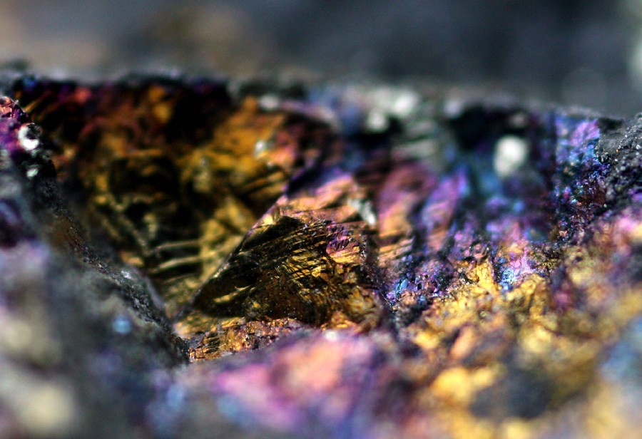
| Species: | Chalcopyrite |
| Formula: | CuFeS2 |
| Confirmation |
|---|
|
| Validity: | Believed Valid |
| Data |
|---|
|
| Mineral Data: | Click here to view Chalcopyrite data |
| Locality Data: | Click here to view Aggregate Industries Quarry (Bayer-Mingolla Quarry; Trimount Quarry), Ashland, Middlesex County, Massachusetts, USA |
| Data Identifiers |
|---|
|
| Mindat Occurrence Record ID: | 38603 |
| Long-form Identifier: | 1:3:38603:4 |
| GUID (UUID V4): | 94cb7500-af30-4657-85b7-06a971a7864c |
| Nearest other occurrences of Chalcopyrite |
|---|
|
|
| 12.1km (7.5 miles) | ⓘMarlborough Junction locality, Marlborough, Middlesex County, Massachusetts, USA |
| 20.3km (12.6 miles) | ⓘRoute 62 locality (Potash Hill), Hudson, Middlesex County, Massachusetts, USA |
| 21.1km (13.1 miles) | ⓘLorusso Wrentham Quarry, Wrentham, Norfolk County, Massachusetts, USA |
| 22.9km (14.2 miles) | ⓘSheldonville Gold Mine (Wrentham Gold Mine), Wrentham, Norfolk County, Massachusetts, USA |
| 23.9km (14.8 miles) | ⓘBolton Lime Quarries (Bolton Quarry; Whitcomb Quarry; Hildreth Quarry), Bolton, Worcester County, Massachusetts, USA |
| 25.0km (15.6 miles) | ⓘBallard Quarry, Worcester, Worcester County, Massachusetts, USA |
| 25.7km (16.0 miles) | ⓘGrants Mills, Cumberland, Providence County, Rhode Island, USA |
| 26.1km (16.2 miles) | ⓘSneech Pond copper mines (Copper Mine Hill), Cumberland, Providence County, Rhode Island, USA |
| 26.5km (16.5 miles) | ⓘWest Roxbury Crushed Stone Quarry (West Roxbury Trap Rock Co. Quarry; Grove St. Quarry), West Roxbury, Boston, Suffolk County, Massachusetts, USA |
| 28.3km (17.6 miles) | ⓘScadden Silver Mine (Uxbridge Silver Mine; Tucker Prospect), Uxbridge, Worcester County, Massachusetts, USA |
| References |
|---|
|
|


Aggregate Industries Quarry, Ashland, Middlesex County, Massachusetts, USA