| Locality type: | Mine |
| Classification |
|---|
|
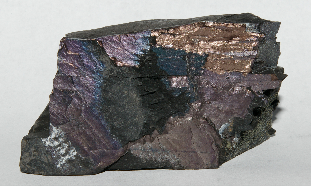
| Species: | Bornite |
| Formula: | Cu5FeS4 |
| Confirmation |
|---|
|
| Validity: | Believed Valid |
| Data |
|---|
|
| Mineral Data: | Click here to view Bornite data |
| Locality Data: | Click here to view SW-1'Jan Wyżykowski' shaft, Bądzów, Gmina Jerzmanowa, Głogów County, Lower Silesian Voivodeship, Poland |
| Photo Gallery | View Gallery (2 photos) |
| Data Identifiers |
|---|
|
| Mindat Occurrence Record ID: | 478243 |
| Long-form Identifier: | 1:3:478243:8 |
| GUID (UUID V4): | 8656a963-0113-4236-b947-76f8f0c897f2 |
| Nearest other occurrences of Bornite |
|---|
|
|
| 2.1km (1.3 miles) | ⓘSieroszowice S-1 borehole, Sieroszowice, Gmina Radwanice, Polkowice County, Lower Silesian Voivodeship, Poland |
| 4.4km (2.7 miles) | ⓘPZ shaft - Polkowice Zachodnie (Polkowice Sieroszowice mine), Polkowice, Gmina Polkowice, Polkowice County, Lower Silesian Voivodeship, Poland |
| 5.8km (3.6 miles) | ⓘKaźmierzów borehole, Gmina Polkowice, Polkowice County, Lower Silesian Voivodeship, Poland |
| 6.9km (4.3 miles) | ⓘRZ shaft (Rudna mine), Polkowice, Gmina Polkowice, Polkowice County, Lower Silesian Voivodeship, Poland |
| 7.9km (4.9 miles) | ⓘPG shafts - Polkowice Główne (Polkowice-Sieroszowice mine), Polkowice, Gmina Polkowice, Polkowice County, Lower Silesian Voivodeship, Poland |
| 16.5km (10.2 miles) | ⓘŻelazny Most, Gmina Polkowice, Polkowice County, Lower Silesian Voivodeship, Poland |
| 17.0km (10.6 miles) | ⓘLubin Główny shafts (Lubin mine), Lubin, Lubin County, Lower Silesian Voivodeship, Poland |
| 19.7km (12.2 miles) | ⓘLW 'Bolesław' shaft (Lubin mine), Lubin, Lubin County, Lower Silesian Voivodeship, Poland |
| 23.0km (14.3 miles) | ⓘLubin S28 borehole, Lubin, Lubin County, Lower Silesian Voivodeship, Poland |
| 36.7km (22.8 miles) | ⓘStypułów K-13 borehole, Nowa Sól County, Lubusz Voivodeship, Poland |
| References |
|---|
|
|


SW-1'Jan Wyżykowski' shaft, Bądzów, Gmina Jerzmanowa, Głogów County, Lower Silesian Voivodeship, Poland