| Locality type: | Mine |
| Classification |
|---|
|
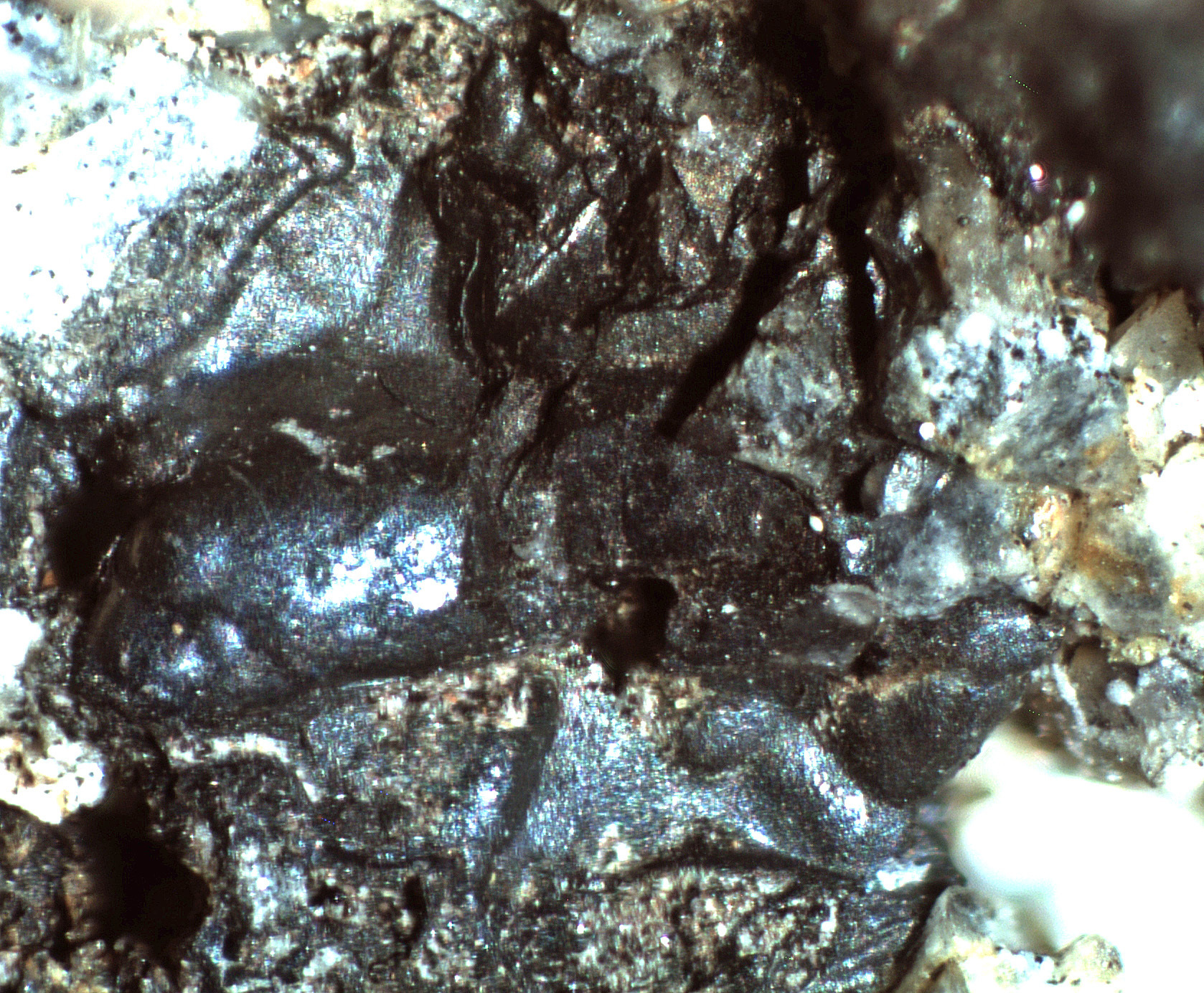
| Species: | Cryptomelane |
| Formula: | K(Mn74+Mn3+)O16 |
| Confirmation |
|---|
|
| Validity: | Believed Valid |
| Data |
|---|
|
| Mineral Data: | Click here to view Cryptomelane data |
| Locality Data: | Click here to view Salvador Mine (Salvadore Mine; San Salvador Mine), Hermosa group, Hardshell Gulch, Harshaw, Harshaw Mining District, Patagonia Mountains, Santa Cruz County, Arizona, USA |
| Data Identifiers |
|---|
|
| Mindat Occurrence Record ID: | 551079 |
| Long-form Identifier: | 1:3:551079:5 |
| GUID (UUID V4): | 9f657812-aab2-4a6e-b8c4-3a174a94770f |
| Nearest other occurrences of Cryptomelane |
|---|
|
|
| 3.0km (1.8 miles) | ⓘMowry Mine (Patagonia Mine; Enterprise Mine; Phoenix Mine), Mowry Hill, Mowry Wash, Mowry, Patagonia Mining District, Patagonia Mountains, Santa Cruz County, Arizona, USA |
| 31.7km (19.7 miles) | ⓘGlove Mine (Sunrise Mine), Glove Mine group (Zombie & Zeco claims; Festiago-Franklin; Blacksmith adit), Cottonwood Canyon, Tyndall Mining District, Santa Cruz County, Arizona, USA |
| 56.5km (35.1 miles) | ⓘManila Mine, Tombstone Mining District, Cochise County, Arizona, USA |
| 57.8km (35.9 miles) | ⓘGallagher Vanadium & Rare Minerals Corp Mine, Tombstone Mining District, Cochise County, Arizona, USA |
| 68.0km (42.3 miles) | ⓘTombstone Mining District, Cochise County, Arizona, USA |
| 68.8km (42.8 miles) | ⓘSan Diego Mine, Tombstone Extension Mines, Tombstone Mining District, Cochise County, Arizona, USA |
| 76.0km (47.2 miles) | ⓘNo. 4 claim, Escabrosa Ridge, Bisbee, Cochise County, Arizona, USA |
| References |
|---|
|
|


Salvador Mine, Hermosa group, Hardshell Gulch, Harshaw, Harshaw Mining District, Patagonia Mountains, Santa Cruz County, Arizona, USA