| Classification |
|---|
|
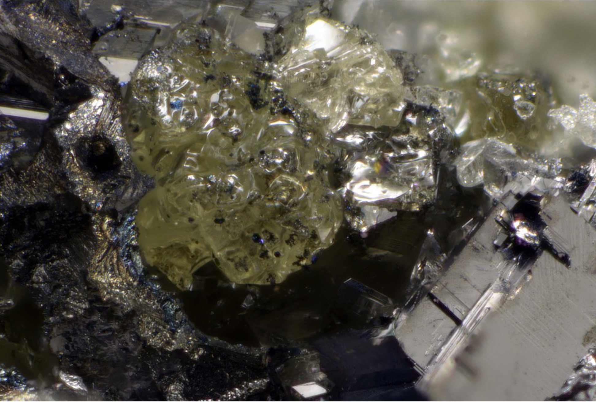
| Species: | Sulphur |
| Formula: | S8 |
| Colour: | pale yellow |
| Quality for species: | Poor for species, only of interest for locality collectors. (#) |
| Abundance at site: | Very Rare |
| Confirmation |
|---|
|
| Validity: | Believed Valid |
| Associated Minerals Based on Photo Data: |
|---|
|
| Covellite | ⓘ2 photos of Sulphur associated with Covellite at this locality. |
| Data |
|---|
|
| Mineral Data: | Click here to view Sulphur data |
| Locality Data: | Click here to view Nuizière (Nuissière Mine), Chénelette, Villefranche-sur-Saône, Rhône, Auvergne-Rhône-Alpes, France |
| Data Identifiers |
|---|
|
| Mindat Occurrence Record ID: | 634432 |
| Long-form Identifier: | 1:3:634432:0 |
| GUID (UUID V4): | 447c6ab3-c328-48c1-97f6-b46efff74cdb |
| Nearest other occurrences of Sulphur |
|---|
|
|
| 0.9km (0.5 miles) | ⓘChanrion mine, Poule-les-Écharmeaux, Villefranche-sur-Saône, Rhône, Auvergne-Rhône-Alpes, France |
| 2.2km (1.4 miles) | ⓘLongefay mine, Poule-les-Écharmeaux, Villefranche-sur-Saône, Rhône, Auvergne-Rhône-Alpes, France |
| 6.8km (4.2 miles) | ⓘLa Verrière (Montchonay), Les Ardillats, Villefranche-sur-Saône, Rhône, Auvergne-Rhône-Alpes, France |
| 9.0km (5.6 miles) | ⓘBouillé, Beaujeu, Villefranche-sur-Saône, Rhône, Auvergne-Rhône-Alpes, France |
| 29.1km (18.1 miles) | ⓘChessy copper mines, Chessy, Villefranche-sur-Saône, Rhône, Auvergne-Rhône-Alpes, France |
| 48.5km (30.1 miles) | ⓘLes Rats Mine slag dumps, Le Crozet, Roanne, Loire, Auvergne-Rhône-Alpes, France |
| 69.2km (43.0 miles) | ⓘMont du Feu, Genilac, Saint-Étienne, Loire, Auvergne-Rhône-Alpes, France |
| 73.9km (45.9 miles) | ⓘEtang de Reliez, Lachaux, Thiers, Puy-de-Dôme, Auvergne-Rhône-Alpes, France |
| 73.9km (45.9 miles) | ⓘRoffin Mine, Lachaux, Thiers, Puy-de-Dôme, Auvergne-Rhône-Alpes, France |
| 78.9km (49.1 miles) | ⓘCouriot pit and Chatelus pits, Saint-Étienne, Saint-Étienne, Loire, Auvergne-Rhône-Alpes, France |
| References |
|---|
|
|


Nuizière, Chénelette, Villefranche-sur-Saône, Rhône, Auvergne-Rhône-Alpes, France