| Locality type: | Mineral Occurrence Area |
| Classification |
|---|
|
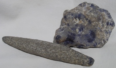
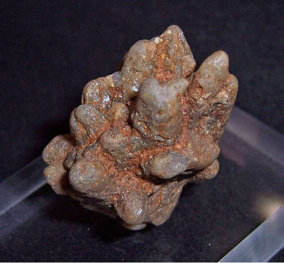
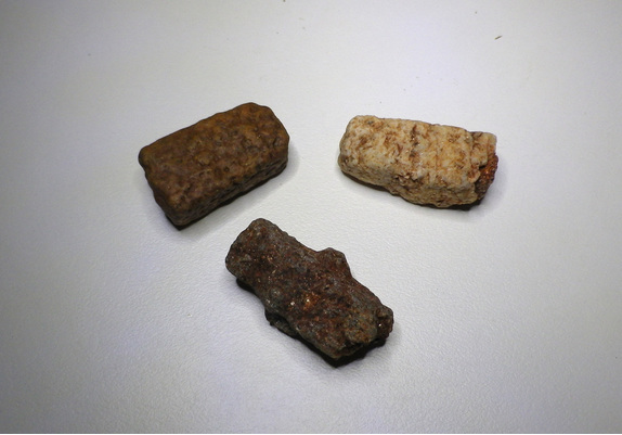
| Species: | Corundum |
| Formula: | Al2O3 |
| Confirmation |
|---|
|
| Validity: | Believed Valid |
| Data |
|---|
|
| Mineral Data: | Click here to view Corundum data |
| Locality Data: | Click here to view Corundum Crystal locality, May Downs Station, City of Mount Isa, Queensland, Australia |
| Photo Gallery | View Gallery (3 photos) |
| Data Identifiers |
|---|
|
| Mindat Occurrence Record ID: | 675851 |
| Long-form Identifier: | 1:3:675851:6 |
| GUID (UUID V4): | ee50328b-959a-495b-941a-40690a650188 |
| Nearest other occurrences of Corundum |
|---|
|
|
| 55.2km (34.3 miles) | ⓘBlockade mine area, Rosebud Station, Cloncurry Shire, Queensland, Australia |
| 70.6km (43.9 miles) | ⓘMary Kathleen district, Rosebud Station, Cloncurry Shire, Queensland, Australia |
| References |
|---|
|
|


Corundum Crystal locality, May Downs Station, City of Mount Isa, Queensland, Australia