| MALAWI Mount Malosa, Chilwa alkaline province, Zomba district. "Illite" is the name of a series of incompletely...Redondo, near the Portuguese coast about 155 km north-northeast of Lisbon, is now closed and flooded,..., 1998). In October 1987, from a cleft on the western flank of the Tschingelstock, a few kilometers south...of the 30 km-wide Erongo Mountains upland, 20 km north of Usakos, are shot through with complex pegmatites...Bahmann, 2006a; Von Bezing, Bode and Jahn, 2014). ZAMBIA [NORTHERN RHODESIA] Mwinilunga. See this entry |
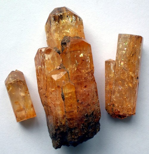


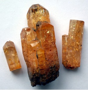


Karengerenge village, Kalumbila District, North-Western Province, Zambia