| Locality | Latitude | Longitude | Distance | Bearing |
|---|
| N'Chwaning II Mine, N'Chwaning Mines, Joe Morolong Local Municipality, John Taolo Gaetsewe District Municipality, Northern Cape, South Africa | 27° 8' 9" S | 22° 51' 52" E | 0.0km (0.0 miles) | |
| N'Chwaning I Mine, N'Chwaning Mines, Joe Morolong Local Municipality, John Taolo Gaetsewe District Municipality, Northern Cape, South Africa | 27° 8' 7" S | 22° 52' 13" E | 0.6km (0.3 miles) | |
| N'Chwaning Mines, Joe Morolong Local Municipality, John Taolo Gaetsewe District Municipality, Northern Cape, South Africa | 27° 7' 50" S | 22° 51' 31" E | 0.8km (0.5 miles) | |
| N'Chwaning III Mine, N'Chwaning Mines, Joe Morolong Local Municipality, John Taolo Gaetsewe District Municipality, Northern Cape, South Africa | 27° 8' 4" S | 22° 50' 46" E | 1.8km (1.1 miles) | |
| Wessels Mine, Joe Morolong Local Municipality, John Taolo Gaetsewe District Municipality, Northern Cape, South Africa | 27° 6' 48" S | 22° 51' 15" E | 2.7km (1.7 miles) | |
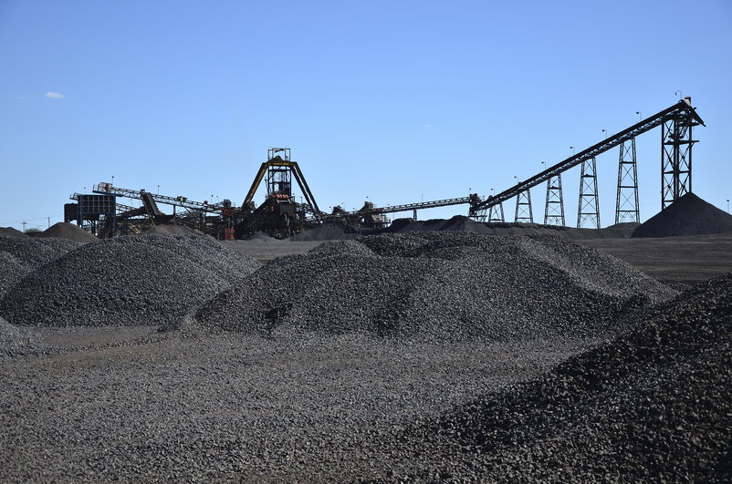
| Black Rock Mine, Black Rock, Joe Morolong Local Municipality, John Taolo Gaetsewe District Municipality, Northern Cape, South Africa | 27° 7' 59" S | 22° 49' 59" E | 3.1km (1.9 miles) | |
| Black Rock, Joe Morolong Local Municipality, John Taolo Gaetsewe District Municipality, Northern Cape, South Africa | 27° 7' 4" S | 22° 49' 47" E | 4.0km (2.5 miles) | |
| Gloria Mine, Joe Morolong Local Municipality, John Taolo Gaetsewe District Municipality, Northern Cape, South Africa | 27° 10' 8" S | 22° 54' 2" E | 5.1km (3.2 miles) | |
| Belgravia Mine, Joe Morolong Local Municipality, John Taolo Gaetsewe District Municipality, Northern Cape, South Africa | 27° 8' 14" S | 22° 48' 7" E | 6.2km (3.8 miles) | |
| Kalagadi Mine, Joe Morolong Local Municipality, John Taolo Gaetsewe District Municipality, Northern Cape, South Africa | 27° 12' 13" S | 22° 54' 13" E | 8.5km (5.3 miles) | |
| Hotazel pit, Kudumane Mine, Joe Morolong Local Municipality, John Taolo Gaetsewe District Municipality, Northern Cape, South Africa | 27° 12' 40" S | 22° 55' 15" E | 10.0km (6.2 miles) | |
| Hotazel, Joe Morolong Local Municipality, John Taolo Gaetsewe District Municipality, Northern Cape, South Africa | 27° 12' 0" S | 22° 57' 24" E | 11.6km (7.2 miles) | |
| Hotazel Mine, Hotazel, Joe Morolong Local Municipality, John Taolo Gaetsewe District Municipality, Northern Cape, South Africa | 27° 12' 7" S | 22° 58' 13" E | 12.8km (7.9 miles) | |
| Kudumane Mine, Joe Morolong Local Municipality, John Taolo Gaetsewe District Municipality, Northern Cape, South Africa | 27° 14' 4" S | 22° 55' 58" E | 12.9km (8.0 miles) | |
| Avontuur deposit, Joe Morolong Local Municipality, John Taolo Gaetsewe District Municipality, Northern Cape, South Africa | 27° 1' 12" S | 22° 52' 49" E | 13.0km (8.1 miles) | |
| Devon Mine, Joe Morolong Local Municipality, John Taolo Gaetsewe District Municipality, Northern Cape, South Africa | 27° 14' 28" S | 22° 56' 3" E | 13.6km (8.4 miles) | |
| York Pit, Kudumane Mine, Joe Morolong Local Municipality, John Taolo Gaetsewe District Municipality, Northern Cape, South Africa | 27° 14' 43" S | 22° 55' 33" E | 13.6km (8.4 miles) | |
| Annex Langdon, Joe Morolong Local Municipality, John Taolo Gaetsewe District Municipality, Northern Cape, South Africa | 27° 13' 45" S | 22° 59' 34" E | 16.4km (10.2 miles) | |
| Sebilo mine, Joe Morolong Local Municipality, John Taolo Gaetsewe District Municipality, Northern Cape, South Africa | 27° 17' 23" S | 22° 57' 36" E | 19.5km (12.1 miles) | |
| Perth Mine, Joe Morolong Local Municipality, John Taolo Gaetsewe District Municipality, Northern Cape, South Africa | 27° 17' 40" S | 22° 57' 37" E | 20.0km (12.4 miles) | |
| Smartt Mine, Joe Morolong Local Municipality, John Taolo Gaetsewe District Municipality, Northern Cape, South Africa | 27° 18' 29" S | 22° 57' 56" E | 21.6km (13.4 miles) | |
| Coretsi South, Joe Morolong Local Municipality, John Taolo Gaetsewe District Municipality, Northern Cape, South Africa | 27° 10' 37" S | 23° 4' 45" E | 21.7km (13.5 miles) | |
| Coretsi West, Joe Morolong Local Municipality, John Taolo Gaetsewe District Municipality, Northern Cape, South Africa | 27° 11' 33" S | 23° 4' 37" E | 21.9km (13.6 miles) | |
| Merencor, Joe Morolong Local Municipality, John Taolo Gaetsewe District Municipality, Northern Cape, South Africa | 27° 13' 6" S | 23° 5' 9" E | 23.7km (14.7 miles) | |
| Coretsi East, Joe Morolong Local Municipality, John Taolo Gaetsewe District Municipality, Northern Cape, South Africa | 27° 12' 3" S | 23° 6' 11" E | 24.7km (15.3 miles) | |
| Middelplaats Mine, Joe Morolong Local Municipality, John Taolo Gaetsewe District Municipality, Northern Cape, South Africa | 27° 21' 18" S | 22° 56' 12" E | 25.4km (15.8 miles) | |
| Adams Pit, Mamatwan Mine, Joe Morolong Local Municipality, John Taolo Gaetsewe District Municipality, Northern Cape, South Africa | 27° 22' 50" S | 22° 59' 17" E | 29.8km (18.5 miles) | |
| England Farm, Joe Morolong Local Municipality, John Taolo Gaetsewe District Municipality, Northern Cape, South Africa | 27° 15' 50" S | 23° 8' 4" E | 30.2km (18.8 miles) | |
| Tshipi Borwa Mine, Joe Morolong Local Municipality, John Taolo Gaetsewe District Municipality, Northern Cape, South Africa | 27° 23' 32" S | 22° 58' 7" E | 30.3km (18.8 miles) | |
| Mamatwan Mine, Joe Morolong Local Municipality, John Taolo Gaetsewe District Municipality, Northern Cape, South Africa | 27° 23' 32" S | 22° 59' 18" E | 31.0km (19.3 miles) | |


Black Rock Mine, Black Rock, Joe Morolong Local Municipality, John Taolo Gaetsewe District Municipality, Northern Cape, South Africa