| Locality | Latitude | Longitude | Distance | Bearing |
|---|
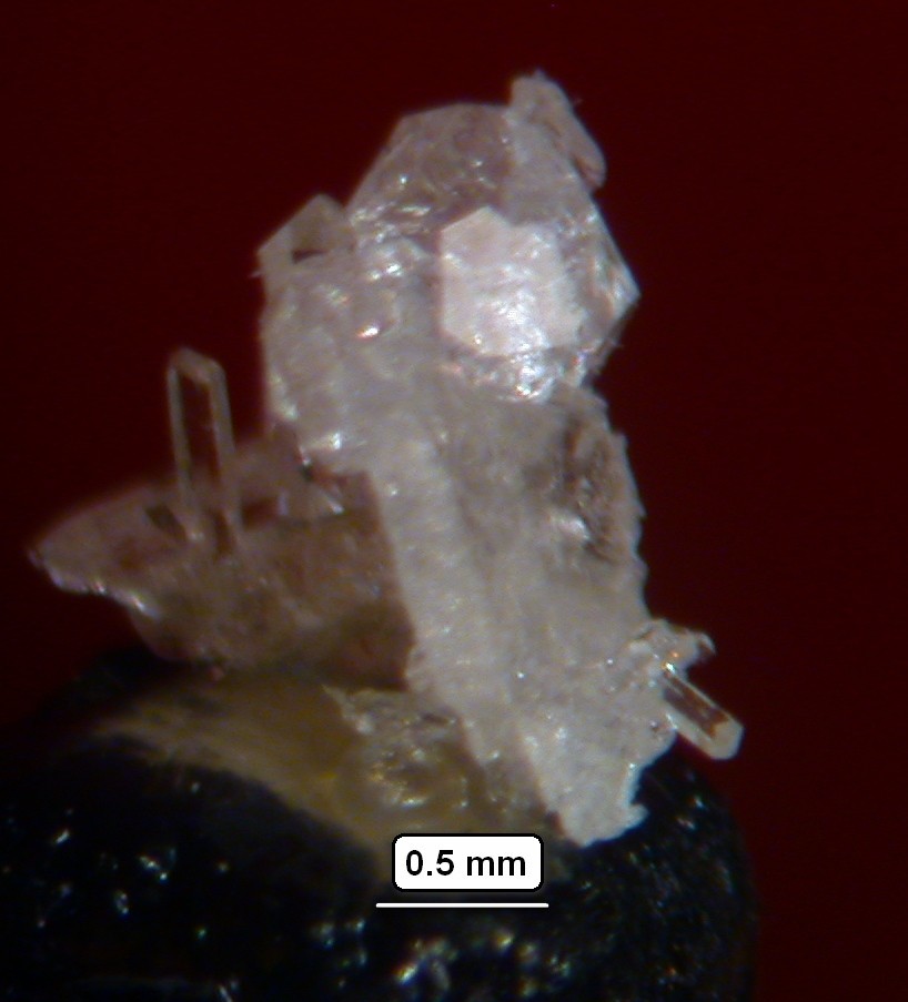
| Kawerau Geothermal field, Kawerau District, Bay of Plenty Region, New Zealand | 38° 3' 32" S | 176° 43' 15" E | 0.0km (0.0 miles) | |
| Mount Tarawera, Okataina, Rotorua District, Bay of Plenty Region, New Zealand | 38° 13' 23" S | 176° 30' 24" E | 26.2km (16.3 miles) | |
| Okataina, Rotorua District, Bay of Plenty Region, New Zealand | 38° 5' 51" S | 176° 25' 28" E | 26.3km (16.3 miles) | |
| Tikitere Hot Springs, Rotorua District, Bay of Plenty Region, New Zealand | 38° 3' 32" S | 176° 21' 37" E | 31.6km (19.6 miles) | |
| Tikitapu Nature Walk, Rotorua District, Bay of Plenty Region, New Zealand | 38° 11' 0" S | 176° 19' 51" E | 36.8km (22.9 miles) | |
| Waimangu Valley, Rotorua District, Bay of Plenty Region, New Zealand | 38° 17' 6" S | 176° 23' 22" E | 38.4km (23.8 miles) | |
| Rainbow Mountain Thermal Area, Waiotapu (Wai-O-Tapu), Rotorua District, Bay of Plenty Region, New Zealand | 38° 19' 9" S | 176° 22' 42" E | 41.6km (25.9 miles) | |
| Te Puia (Whakarewarewa), Rotorua District, Bay of Plenty Region, New Zealand | 38° 9' 47" S | 176° 15' 14" E | 42.5km (26.4 miles) | |
| Hendersons Quarry, Mount Ngongotaha, Rotorua District, Bay of Plenty Region, New Zealand | 38° 5' 47" S | 176° 12' 33" E | 45.0km (28.0 miles) | |
| Waiotapu (Wai-O-Tapu), Rotorua District, Bay of Plenty Region, New Zealand | 38° 21' 33" S | 176° 22' 10" E | 45.4km (28.2 miles) | |
| Mount Ngongotaha, Rotorua District, Bay of Plenty Region, New Zealand | 38° 7' 5" S | 176° 11' 52" E | 46.3km (28.7 miles) | |
| Te Puke Goldfield, Western Bay of Plenty District, Bay of Plenty Region, New Zealand | 37° 49' 42" S | 176° 15' 17" E | 48.3km (30.0 miles) | |
| Flemings Freehold Mine (Te Puke Reefs; Masseys Reef), Te Puke Goldfield, Western Bay of Plenty District, Bay of Plenty Region, New Zealand | 37° 49' 40" S | 176° 15' 17" E | 48.3km (30.0 miles) | |
| Muirs Reef, Te Puke Goldfield, Western Bay of Plenty District, Bay of Plenty Region, New Zealand | 37° 49' 29" S | 176° 15' 24" E | 48.3km (30.0 miles) | |
| Haparangi, Rotorua District, Bay of Plenty Region, New Zealand | 38° 13' 41" S | 176° 12' 0" E | 49.3km (30.6 miles) | |
| Whakatane graben, Tonga-Kermadec Arc, Pacific Ocean | 37° 34' 14" S | 176° 49' 35" E | 55.1km (34.2 miles) | |
| Calypso Vent field, Bay of Plenty Region, New Zealand | 37° 40' 0" S | 177° 7' 0" E | 55.7km (34.6 miles) | |
| Te Kopia geothermal area, Rotorua District, Bay of Plenty Region, New Zealand | 38° 23' 59" S | 176° 13' 0" E | 58.1km (36.1 miles) | |
| Broadlands (Ohaaki), Taupo District, Waikato Region, New Zealand | 38° 30' 43" S | 176° 19' 55" E | 61.8km (38.4 miles) | |
| Ohakuri prospect, Taupo District, Waikato Region, New Zealand | 38° 24' 29" S | 176° 5' 15" E | 67.6km (42.0 miles) | |
| Ruatapu Cave (Alum Cave), Orakeikorako Thermal Area (Orakei Korako; The Hidden Valley), Taupo District, Waikato Region, New Zealand | 38° 28' 32" S | 176° 9' 3" E | 68.0km (42.2 miles) | |
| Ohakuri East prospect, Taupo District, Waikato Region, New Zealand | 38° 24' 38" S | 176° 4' 59" E | 68.1km (42.3 miles) | |
| Orakeikorako Thermal Area (Orakei Korako; The Hidden Valley), Taupo District, Waikato Region, New Zealand | 38° 28' 24" S | 176° 8' 47" E | 68.1km (42.3 miles) | |
| Atiamuri, Taupo District, Waikato Region, New Zealand | 38° 23' 43" S | 176° 1' 49" E | 71.0km (44.1 miles) | |
| Ngatamariki thermal area (Pavlova Spring), Wairakei, Taupo District, Waikato Region, New Zealand | 38° 31' 54" S | 176° 10' 24" E | 71.0km (44.1 miles) | |
| Ongaroto Road, Atiamuri, Taupo District, Waikato Region, New Zealand | 38° 23' 45" S | 176° 0' 24" E | 72.8km (45.2 miles) | |
| Lake Rotokawa, Wairakei, Taupo District, Waikato Region, New Zealand | 38° 37' 28" S | 176° 11' 30" E | 78.0km (48.5 miles) | |
| Waikato River, Taupo District, Waikato Region, New Zealand | 38° 36' 49" S | 176° 10' 17" E | 78.1km (48.6 miles) | |
| Wairakei, Taupo District, Waikato Region, New Zealand | 38° 37' 8" S | 176° 6' 14" E | 82.3km (51.2 miles) | |
| Tauhara geothermal field, Taupo District, Waikato Region, New Zealand | 38° 40' 5" S | 176° 9' 3" E | 84.0km (52.2 miles) | |


Kawerau Geothermal field, Kawerau District, Bay of Plenty Region, New Zealand