| Locality | Latitude | Longitude | Distance | Bearing |
|---|
| Trinidad, Trinidad and Tobago | 10° 27' 38" N | 61° 14' 54" W | 1.4km (0.9 miles) | |
| Springvale quarry, Couva–Tabaquite–Talparo, Trinidad, Trinidad and Tobago | 10° 23' 24" N | 61° 26' 31" W | 21.9km (13.6 miles) | |
| La Brea Pitch Lake, Trinidad and Tobago | 10° 14' 5" N | 61° 37' 37" W | 48.0km (29.8 miles) | |
| Stollmeyer Quarry, Siparia, Trinidad, Trinidad and Tobago | 10° 11' 47" N | 61° 37' 50" W | 50.7km (31.5 miles) | |
| Mount Irvine, Tobago, Trinidad and Tobago | 11° 11' 9" N | 60° 48' 0" W | 94.1km (58.5 miles) | |
| Mount Hartman Quarry, Saint George Parish, Grenada | 12° 0' 38" N | 61° 45' 10" W | 179.7km (111.7 miles) | |
| Mon Rush Quarry, Saint George Parish, Grenada | 12° 3' 46" N | 61° 44' 44" W | 185.0km (115.0 miles) | |
| Telescope Quarry, Saint Andrews Parish, Grenada | 12° 7' 30" N | 61° 36' 20" W | 188.0km (116.8 miles) | |
| Kick'em Jack Seamount, Grenada | 12° 17' 28" N | 61° 37' 31" W | 206.5km (128.3 miles) | |
| Kick‘em Jenny Seamount, Grenada | 12° 17' 59" N | 61° 38' 24" W | 207.8km (129.1 miles) | |
Minerals recorded nearby (within 20 km)
Rock types recorded nearby (within 20 km)
Entries shown in red are rocks recorded for this region.
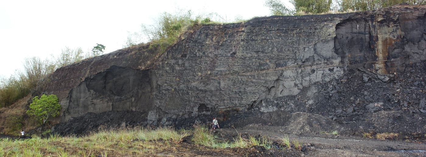


Stollmeyer Quarry, Siparia, Trinidad, Trinidad and Tobago