| Locality | Latitude | Longitude | Distance | Bearing |
|---|
| May Stone and Sand Quarry, Allen County, Indiana, USA | 41° 0' 29" N | 85° 14' 8" W | 0.0km (0.0 miles) | |
| Unnamed Fluorite Occurrence (MRDS - 10080851), Allen County, Indiana, USA | 41° 0' 39" N | 85° 14' 9" W | 0.3km (0.2 miles) | |
| Sphalerite and Fluorite Occurrence Z79, Allen County, Indiana, USA | 41° 2' 30" N | 85° 12' 50" W | 4.1km (2.6 miles) | |
| Fort Wayne, Allen County, Indiana, USA | 41° 4' 45" N | 85° 8' 21" W | 11.3km (7.0 miles) | |
| Stone Street Quarry, Allen County, Indiana, USA | 40° 56' 2" N | 85° 3' 59" W | 16.4km (10.2 miles) | |
| Huntington Quarry (Erie Stone; Inc.), Huntington County, Indiana, USA | 40° 53' 29" N | 85° 27' 34" W | 22.9km (14.2 miles) | |
| Markle Quarry, Huntington County, Indiana, USA | 40° 48' 3" N | 85° 21' 39" W | 25.3km (15.7 miles) | |
| Huntington County Highway Department, Huntington County, Indiana, USA | 40° 52' 59" N | 85° 29' 35" W | 25.7km (16.0 miles) | |
| Sphalerite Occurrence Z75, Wells County, Indiana, USA | 40° 46' 14" N | 85° 10' 45" W | 26.8km (16.7 miles) | |
| Whitley County Highway Department, Whitley County, Indiana, USA | 41° 9' 29" N | 85° 29' 23" W | 27.1km (16.8 miles) | |
| Erie Stone Company - Bluffton (Bluffton Quarry), Wells County, Indiana, USA | 40° 46' 5" N | 85° 10' 55" W | 27.1km (16.8 miles) | |
| Heller Stone Co. quarry, Bluffton, Wells County, Indiana, USA | 40° 45' 18" N | 85° 18' 51" W | 28.9km (18.0 miles) | |
| Wells County Highway Department, Wells County, Indiana, USA | 40° 44' 5" N | 85° 10' 29" W | 30.8km (19.1 miles) | |
| Krick-Tyndall Pit, Adams County, Indiana, USA | 40° 48' 46" N | 84° 57' 30" W | 31.9km (19.8 miles) | |
| Decatur City Engineering, Adams County, Indiana, USA | 40° 49' 54" N | 84° 55' 41" W | 32.4km (20.2 miles) | |
| Woodburn Stone Quarry & Plant, Allen County, Indiana, USA | 41° 8' 38" N | 84° 53' 20" W | 32.7km (20.3 miles) | |
| Majenica Clay Pit, Huntington County, Indiana, USA | 40° 45' 38" N | 85° 26' 54" W | 32.8km (20.4 miles) | |
| Edgerton Quarry, Allen County, Indiana, USA | 41° 4' 17" N | 84° 50' 57" W | 33.1km (20.6 miles) | |
| Linn Grove Quarry (No. 1 Quarry), Adams County, Indiana, USA | 40° 39' 26" N | 85° 3' 10" W | 41.9km (26.1 miles) | |
| Pleasant Mills Quarry, Adams County, Indiana, USA | 40° 44' 21" N | 84° 49' 45" W | 45.4km (28.2 miles) | |
| Adams City Highway Department, Adams County, Indiana, USA | 40° 39' 29" N | 84° 57' 15" W | 45.6km (28.3 miles) | |
| Stoneco Scott Quarry, Scott, Van Wert County, Ohio, USA | 40° 58' 9" N | 84° 38' 56" W | 49.4km (30.7 miles) | |
| Erie Stone Quarry (Muncie Stone Plant No. 7 Quarry; Montpelier Quarry), Montpelier, Harrison Township, Blackford County, Indiana, USA | 40° 33' 39" N | 85° 16' 33" W | 49.8km (31.0 miles) | |
| Baltes Stone Co. Quarry, Montpelier, Harrison Township, Blackford County, Indiana, USA | 40° 33' 30" N | 85° 15' 44" W | 50.1km (31.1 miles) | |
| Wabash County Highway Department, Wabash County, Indiana, USA | 40° 47' 59" N | 85° 49' 23" W | 54.6km (33.9 miles) | |
| Abandoned quarry, Wabash, Wabash County, Indiana, USA | 40° 47' 50" N | 85° 51' 19" W | 57.1km (35.5 miles) | |
| Karch Stone Quarry (Bryant Plant), Adams County, Indiana, USA | 40° 34' 23" N | 84° 52' 26" W | 57.2km (35.5 miles) | |
| Warsaw Street Department, Kosciusko County, Indiana, USA | 41° 14' 17" N | 85° 51' 6" W | 57.6km (35.8 miles) | |
| Marion, Grant County, Indiana, USA | 40° 33' 30" N | 85° 39' 32" W | 61.4km (38.2 miles) | |
| Mill Creek Stone & Gravel Corporation Quarry, Richvalley, Wabash County, Indiana, USA | 40° 46' 43" N | 85° 54' 11" W | 61.7km (38.3 miles) | |
Minerals recorded nearby (within 20 km)
Rock types recorded nearby (within 20 km)
Entries shown in red are rocks recorded for this region.
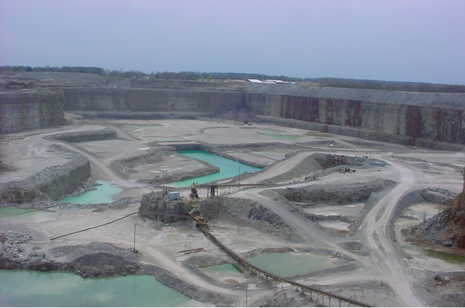
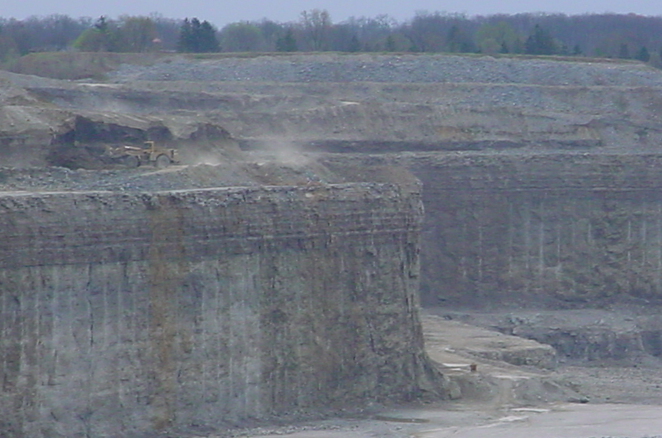
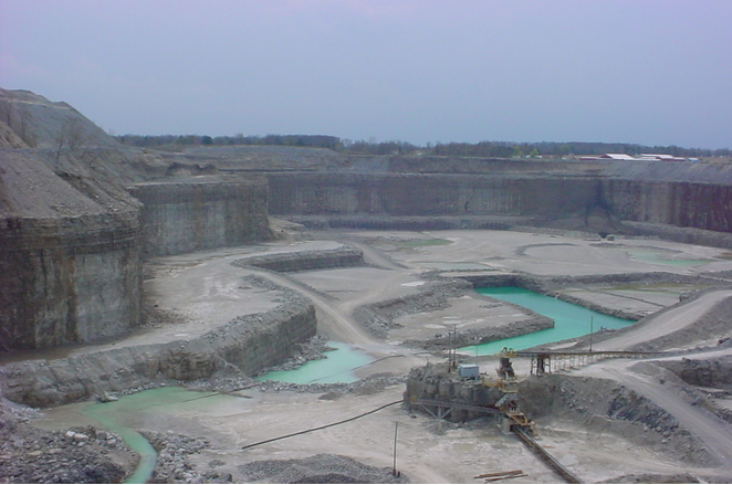


May Stone and Sand Quarry, Allen County, Indiana, USA