| Locality | Latitude | Longitude | Distance | Bearing |
|---|
| Rich Gulch Mine, De Lamar Mining District, Owyhee County, Idaho, USA | 43° 0' 44" N | 116° 46' 52" W | 0.9km (0.6 miles) | |
| Tip Top, Silver City Mining District (Carson Mining District), Owyhee County, Idaho, USA | 43° 1' 3" N | 116° 46' 23" W | 1.1km (0.7 miles) | |
| Venus Claim, French Mining District, Owyhee County, Idaho, USA | 43° 0' 6" N | 116° 45' 41" W | 1.1km (0.7 miles) | |
| Summit, Silver City Mining District (Carson Mining District), Owyhee County, Idaho, USA | 43° 1' 3" N | 116° 46' 3" W | 1.1km (0.7 miles) | |
| Webster Vein Mine, Silver City Mining District (Carson Mining District), Owyhee County, Idaho, USA | 43° 1' 7" N | 116° 45' 51" W | 1.3km (0.8 miles) | |
| Banner Mine (Tip Top; Monarch Trust), De Lamar Mining District, Owyhee County, Idaho, USA | 43° 0' 32" N | 116° 45' 18" W | 1.4km (0.9 miles) | |
| Ontario Claim Group Mine, Silver City Mining District (Carson Mining District), Owyhee County, Idaho, USA | 43° 1' 1" N | 116° 45' 34" W | 1.4km (0.9 miles) | |
| Erdman prospect (Erdman tunnel; Erdman Mine), De Lamar Mining District, Owyhee County, Idaho, USA | 43° 0' 20" N | 116° 45' 9" W | 1.6km (1.0 miles) | |
| Cook Group (Sidney Mining Company), De Lamar Mining District, Owyhee County, Idaho, USA | 43° 0' 48" N | 116° 47' 29" W | 1.7km (1.1 miles) | |
| Black Jack Mine-Trade Dollar Mine (Blaine; Empire State; Colorado; Alpine; Blaine Extension; Jumbo; South Pluto; Belfast; Black Bart; Fraction; Caroline; Phillip; Sullivan), Silver City Mining District (Carson Mining District), Owyhee County, Idaho, USA | 43° 1' 22" N | 116° 45' 28" W | 2.0km (1.3 miles) | |
| Sidney Property (Cook Group; Cop Group), De Lamar Mining District, Owyhee County, Idaho, USA | 43° 0' 47" N | 116° 47' 46" W | 2.1km (1.3 miles) | |
| Sierra Nevada Vein Mine, Silver City Mining District (Carson Mining District), Owyhee County, Idaho, USA | 43° 0' 52" N | 116° 44' 52" W | 2.1km (1.3 miles) | |
| Empire State, Silver City Mining District (Carson Mining District), Owyhee County, Idaho, USA | 43° 1' 15" N | 116° 45' 12" W | 2.1km (1.3 miles) | |
| Brunzel Mine (Summit Vein), Silver City Mining District (Carson Mining District), Owyhee County, Idaho, USA | 43° 1' 36" N | 116° 45' 43" W | 2.2km (1.4 miles) | |
| Humboldt, Silver City Mining District (Carson Mining District), Owyhee County, Idaho, USA | 43° 1' 30" N | 116° 45' 24" W | 2.3km (1.4 miles) | |
| Booneville Mine (Idaho; Seventy Nine; Phillips and Sullivan; Treasury; Owyhee; and Humbolt Claims), Silver City Mining District (Carson Mining District), Owyhee County, Idaho, USA | 43° 1' 42" N | 116° 45' 31" W | 2.5km (1.6 miles) | |
| Crown Point Claim Mine, Silver City Mining District (Carson Mining District), Owyhee County, Idaho, USA | 43° 0' 53" N | 116° 44' 25" W | 2.7km (1.7 miles) | |
| Metallic Mine (Miller and Walters), Silver City Mining District (Carson Mining District), Owyhee County, Idaho, USA | 43° 1' 13" N | 116° 44' 28" W | 2.9km (1.8 miles) | |
| Saw Pit Prospect (Mammoth Mine), Silver City Mining District (Carson Mining District), Owyhee County, Idaho, USA | 42° 59' 33" N | 116° 44' 33" W | 3.0km (1.8 miles) | |
| Silver City Mine, Silver City Mining District (Carson Mining District), Owyhee County, Idaho, USA | 43° 0' 51" N | 116° 43' 59" W | 3.2km (2.0 miles) | |
| Potosi Mine, French Mining District, Owyhee County, Idaho, USA | 43° 0' 51" N | 116° 43' 56" W | 3.3km (2.0 miles) | |
| Continental Quicksilver Prospect, De Lamar Mining District, Owyhee County, Idaho, USA | 43° 0' 57" N | 116° 48' 50" W | 3.5km (2.2 miles) | |
| Silver City Region, Silver City Region, Owyhee County, Idaho, USA | 43° 1' 2" N | 116° 43' 49" W | 3.5km (2.2 miles) | |
| Morning Star Mine, French Mining District, Owyhee County, Idaho, USA | 43° 1' 17" N | 116° 43' 51" W | 3.6km (2.3 miles) | |
| Dewey Mine (Florida Mountain), Silver City Mining District (Carson Mining District), Owyhee County, Idaho, USA | 43° 2' 25" N | 116° 45' 46" W | 3.7km (2.3 miles) | |
| Bishop Vein Mine (Addie Consolidated Mining Company), French Mining District, Owyhee County, Idaho, USA | 43° 0' 44" N | 116° 43' 27" W | 3.9km (2.4 miles) | |
| Pauper Vein Mine, French Mining District, Owyhee County, Idaho, USA | 43° 0' 4" N | 116° 43' 17" W | 4.2km (2.6 miles) | |
| Trook and Jennings Vein Mine, French Mining District, Owyhee County, Idaho, USA | 43° 0' 51" N | 116° 43' 7" W | 4.4km (2.7 miles) | |
| Gold Bug Vein Mine, Silver City Mining District (Carson Mining District), Owyhee County, Idaho, USA | 42° 59' 55" N | 116° 43' 4" W | 4.5km (2.8 miles) | |
| Tennessee Mountain Prospects, Silver City Mining District (Carson Mining District), Owyhee County, Idaho, USA | 43° 2' 57" N | 116° 46' 44" W | 4.6km (2.9 miles) | |
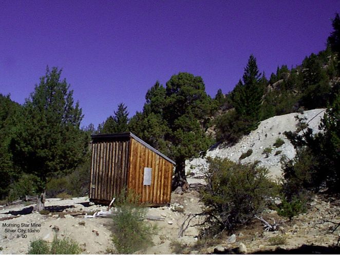


Morning Star Mine, French Mining District, Owyhee County, Idaho, USA