| Locality | Latitude | Longitude | Distance | Bearing |
|---|
| Rockingham, Windham County, Vermont, USA | 43° 9' 56" N | 72° 28' 54" W | 0.0km (0.0 miles) | |
| Saxtons River Village, Windham County, Vermont, USA | 43° 8' 17" N | 72° 30' 34" W | 3.8km (2.4 miles) | |
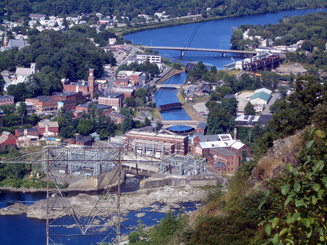
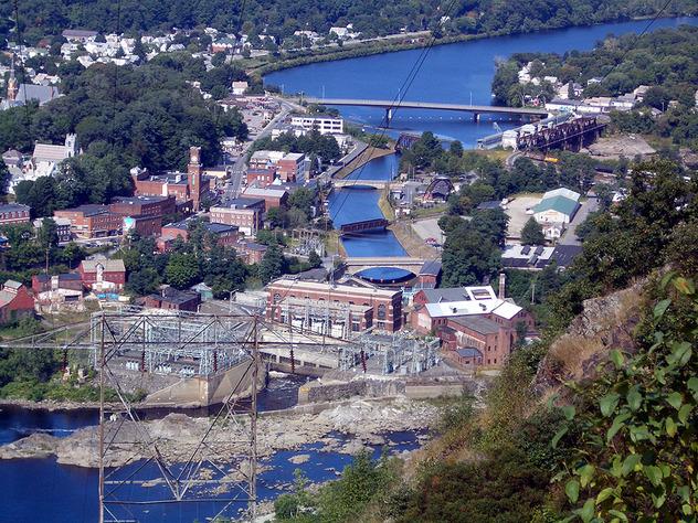
| Bellows Falls, Rockingham, Windham County, Vermont, USA | 43° 7' 59" N | 72° 26' 39" W | 4.7km (2.9 miles) | |
| Fall Mountain, Walpole, Cheshire County, New Hampshire, USA | 43° 8' 5" N | 72° 25' 53" W | 5.3km (3.3 miles) | |
| Lane Construction Corp. Quarry, Walpole, Cheshire County, New Hampshire, USA | 43° 7' 50" N | 72° 24' 6" W | 7.6km (4.7 miles) | |
| Athens, Town of Athens, Windham County, Vermont, USA | 43° 8' 0" N | 72° 34' 4" W | 7.9km (4.9 miles) | |
| Grafton Quarry, Grafton, Windham County, Vermont, USA | 43° 9' 0" N | 72° 35' 0" W | 8.4km (5.2 miles) | |
| Interstate highway 91 exit 5, Westminster, Windham County, Vermont, USA | 43° 5' 30" N | 72° 27' 23" W | 8.5km (5.3 miles) | |
| Charlestown, Sullivan County, New Hampshire, USA | 43° 14' 3" N | 72° 25' 27" W | 8.9km (5.5 miles) | |
| Grafton, Windham County, Vermont, USA | 43° 11' 25" N | 72° 35' 59" W | 10.0km (6.2 miles) | |
| Alstead, Cheshire County, New Hampshire, USA | 43° 8' 56" N | 72° 21' 38" W | 10.0km (6.2 miles) | |
| Sams Hill, Charlestown, Sullivan County, New Hampshire, USA | 43° 13' 5" N | 72° 22' 44" W | 10.2km (6.3 miles) | |
| Westminster, Windham County, Vermont, USA | 43° 4' 28" N | 72° 30' 30" W | 10.4km (6.4 miles) | |
| Walpole, Cheshire County, New Hampshire, USA | 43° 4' 45" N | 72° 25' 32" W | 10.6km (6.6 miles) | |
| Town of Athens, Windham County, Vermont, USA | 43° 6' 52" N | 72° 35' 41" W | 10.8km (6.7 miles) | |
| Hemlock Center, Charlestown, Sullivan County, New Hampshire, USA | 43° 14' 8" N | 72° 23' 7" W | 11.0km (6.8 miles) | |
| Chickering Mine, Walpole, Cheshire County, New Hampshire, USA | 43° 5' 1" N | 72° 22' 51" W | 12.2km (7.6 miles) | |
| Holden Quarry, Chester, Windsor County, Vermont, USA | 43° 15' 0" N | 72° 34' 59" W | 12.5km (7.7 miles) | |
| George Porter Quarry, Alstead, Cheshire County, New Hampshire, USA | 43° 7' 56" N | 72° 20' 3" W | 12.5km (7.8 miles) | |
| Yuhas No. 1 Quarry, Acworth, Sullivan County, New Hampshire, USA | 43° 10' 0" N | 72° 19' 28" W | 12.7km (7.9 miles) | |
| Lily Pond prospect, Town of Athens, Windham County, Vermont, USA | 43° 5' 11" N | 72° 35' 52" W | 12.9km (8.0 miles) | |
| Yuhas No. 2 Quarry, Acworth, Sullivan County, New Hampshire, USA | 43° 9' 52" N | 72° 19' 17" W | 13.0km (8.1 miles) | |
| Bemis Limestone Quarry, Athens, Town of Athens, Windham County, Vermont, USA | 43° 6' 23" N | 72° 37' 14" W | 13.1km (8.1 miles) | |
| Colony Quarry, Alstead, Cheshire County, New Hampshire, USA | 43° 9' 34" N | 72° 19' 4" W | 13.3km (8.3 miles) | |
| Allen Quarry, Alstead, Cheshire County, New Hampshire, USA | 43° 8' 58" N | 72° 18' 24" W | 14.3km (8.9 miles) | |
| Springfield, Windsor County, Vermont, USA | 43° 17' 59" N | 72° 28' 59" W | 14.9km (9.3 miles) | |
| Davidson Farm pegmatite, Alstead, Cheshire County, New Hampshire, USA | 43° 6' 55" N | 72° 18' 34" W | 15.0km (9.3 miles) | |
| Beryl Mountain Quarry, South Acworth, Sullivan County, New Hampshire, USA | 43° 10' 51" N | 72° 17' 39" W | 15.3km (9.5 miles) | |
| Provencher Quarry, Alstead, Cheshire County, New Hampshire, USA | 43° 9' 5" N | 72° 17' 1" W | 16.1km (10.0 miles) | |
| Quarry Road quarry, Westminster, Windham County, Vermont, USA | 43° 1' 14" N | 72° 29' 8" W | 16.1km (10.0 miles) | |


Grafton, Windham County, Vermont, USA