| Locality | Latitude | Longitude | Distance | Bearing |
|---|
| Teepee Canyon ("Hell's Canyon"), Custer County, South Dakota, USA | 43° 43' 58" N | 103° 53' 17" W | 0.0km (0.0 miles) | |
| Teepee Canyon Main diggings (Teepee Canyon Agate No. 1 claim; Teepee Canyon Agate No. 2 claim), Teepee Canyon ("Hell's Canyon"), Custer County, South Dakota, USA | 43° 43' 50" N | 103° 53' 35" W | 0.5km (0.3 miles) | |
| Sawmill Spring diggings (Teepee Gem Agate claims), Teepee Canyon ("Hell's Canyon"), Custer County, South Dakota, USA | 43° 44' 0" N | 103° 53' 53" W | 0.8km (0.5 miles) | |
| Jewel Cave, Jewel Cave National Monument, Custer County, South Dakota, USA | 43° 43' 49" N | 103° 49' 44" W | 4.8km (3.0 miles) | |
| Hell Canyon, Dewey, Custer County, South Dakota, USA | 43° 44' 45" N | 103° 49' 46" W | 4.9km (3.1 miles) | |
| Black Hills Porcelain Clay and Marble, Unorganized mining district [1], Custer County, South Dakota, USA | 43° 43' 56" N | 103° 49' 26" W | 5.2km (3.2 miles) | |
| Saw Lode Occurrence, Custer Mining District, Custer County, South Dakota, USA | 43° 49' 53" N | 103° 57' 33" W | 12.4km (7.7 miles) | |
| Frac Sand Corporation; Layton Canyon Pit (Black Hills Silica Sand Company), Custer County, South Dakota, USA | 43° 40' 1" N | 103° 45' 17" W | 13.0km (8.1 miles) | |
| Echo Gold Mine, Unorganized mining district [1], Custer County, South Dakota, USA | 43° 46' 14" N | 103° 43' 56" W | 13.2km (8.2 miles) | |
| Western Star Group, Unorganized mining district [1], Custer County, South Dakota, USA | 43° 47' 30" N | 103° 44' 37" W | 13.3km (8.3 miles) | |
| Warren Gulch, Custer Mining District, Custer County, South Dakota, USA | 43° 44' 21" N | 103° 43' 12" W | 13.5km (8.4 miles) | |
| Tin Mountain Mine, Fourmile, Custer Mining District, Custer County, South Dakota, USA | 43° 44' 48" N | 103° 43' 14" W | 13.6km (8.4 miles) | |
| Luck Bird Lode (Lucky Bird Mine), Unorganized mining district [1], Custer County, South Dakota, USA | 43° 46' 21" N | 103° 43' 37" W | 13.7km (8.5 miles) | |
| Wabash mine, Unorganized mining district [1], Custer County, South Dakota, USA | 43° 46' 9" N | 103° 43' 32" W | 13.7km (8.5 miles) | |
| Occidental Lode Occurrence, Unorganized mining district [1], Custer County, South Dakota, USA | 43° 46' 2" N | 103° 43' 24" W | 13.8km (8.6 miles) | |
| Red Spar Mine, Unorganized mining district [1], Custer County, South Dakota, USA | 43° 41' 39" N | 103° 43' 29" W | 13.8km (8.6 miles) | |
| Warren Draw Mine (Warren Gulch Mine), Custer Mining District, Custer County, South Dakota, USA | 43° 44' 36" N | 103° 42' 50" W | 14.1km (8.7 miles) | |
| Lithia Lode, Custer Mining District, Custer County, South Dakota, USA | 43° 44' 52" N | 103° 42' 45" W | 14.2km (8.8 miles) | |
| Unknown Gold - Copper Occurrence (MRDS - 10229958), Weston County, Wyoming, USA | 43° 46' 4" N | 104° 3' 34" W | 14.3km (8.9 miles) | |
| Inca Mine, Custer Mining District, Custer County, South Dakota, USA | 43° 45' 19" N | 103° 42' 40" W | 14.5km (9.0 miles) | |
| Michaud Prospect, Unorganized mining district [1], Custer County, South Dakota, USA | 43° 41' 20" N | 103° 43' 8" W | 14.5km (9.0 miles) | |
| Highview Prospect, Custer Mining District, Custer County, South Dakota, USA | 43° 44' 57" N | 103° 42' 28" W | 14.6km (9.1 miles) | |
| Wright Mica Lode, Custer Mining District, Custer County, South Dakota, USA | 43° 44' 57" N | 103° 42' 28" W | 14.6km (9.1 miles) | |
| Roosevelt group (Rough Rider), Custer, Custer Mining District, Custer County, South Dakota, USA | 43° 48' 22" N | 103° 43' 55" W | 15.0km (9.3 miles) | |
| February Mica Lode Mine, Custer Mining District, Custer County, South Dakota, USA | 43° 45' 35" N | 103° 42' 20" W | 15.0km (9.3 miles) | |
| Newark Group, Unorganized mining district [1], Custer County, South Dakota, USA | 43° 44' 13" N | 103° 42' 3" W | 15.0km (9.4 miles) | |
| Keystone Lode Occurrence, Custer Mining District, Custer County, South Dakota, USA | 43° 44' 30" N | 103° 42' 3" W | 15.1km (9.4 miles) | |
| Corky Claim, Unorganized mining district [1], Custer County, South Dakota, USA | 43° 43' 41" N | 103° 42' 2" W | 15.1km (9.4 miles) | |
| Willdon Mine, Custer Mining District, Custer County, South Dakota, USA | 43° 46' 8" N | 103° 42' 25" W | 15.1km (9.4 miles) | |
| Brown Prospect, Custer Mining District, Custer County, South Dakota, USA | 43° 43' 31" N | 103° 41' 58" W | 15.2km (9.4 miles) | |
Minerals recorded nearby (within 15.2 km)
Rock types recorded nearby (within 15.2 km)
Entries shown in red are rocks recorded for this region.
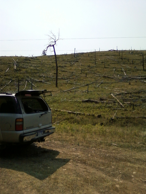

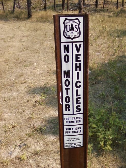


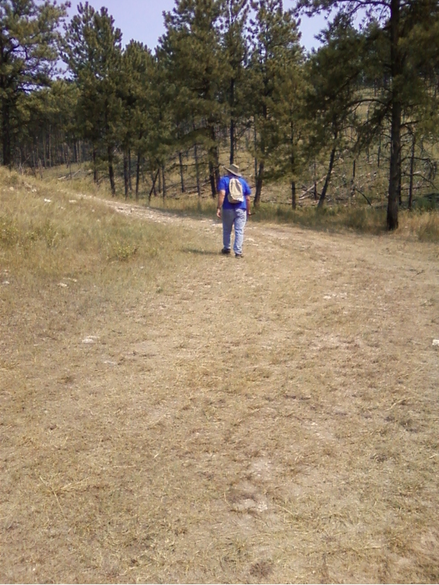


Teepee Canyon, Custer County, South Dakota, USA