| Locality | Latitude | Longitude | Distance | Bearing |
|---|
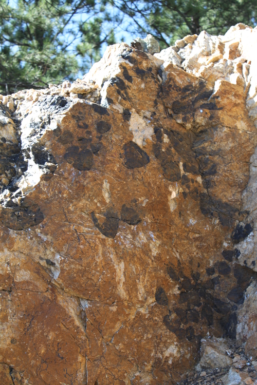
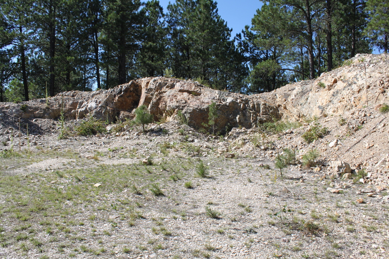
| Custer Mountain lode (Snookum mine), Custer, Custer Mining District, Custer County, South Dakota, USA | 43° 45' 17" N | 103° 33' 58" W | 0.0km (0.0 miles) | |
| Case Claims, Custer Mining District, Custer County, South Dakota, USA | 43° 45' 35" N | 103° 33' 44" W | 0.7km (0.4 miles) | |
| White Tail Lode, Custer Mining District, Custer County, South Dakota, USA | 43° 45' 0" N | 103° 34' 21" W | 0.7km (0.5 miles) | |
| Florence Lode Prospect (Harbach Mine), Custer Mining District, Custer County, South Dakota, USA | 43° 45' 47" N | 103° 34' 17" W | 1.0km (0.6 miles) | |
| Climax mica mine, Custer, Custer Mining District, Custer County, South Dakota, USA | 43° 45' 51" N | 103° 33' 45" W | 1.1km (0.7 miles) | |
| Spring Lode, Custer Mining District, Custer County, South Dakota, USA | 43° 45' 36" N | 103° 33' 10" W | 1.2km (0.8 miles) | |
| Rambler Lode, Custer Mining District, Custer County, South Dakota, USA | 43° 44' 44" N | 103° 33' 25" W | 1.3km (0.8 miles) | |
| Henry Gift Lode Prospect, Custer Mining District, Custer County, South Dakota, USA | 43° 44' 33" N | 103° 33' 50" W | 1.4km (0.9 miles) | |
| Glenwood Mica Mine (Hampton Mine), Custer Mining District, Custer County, South Dakota, USA | 43° 44' 40" N | 103° 33' 15" W | 1.5km (0.9 miles) | |
| Shamrock No. 1 Lode Mine, Custer, Custer Mining District, Custer County, South Dakota, USA | 43° 46' 5" N | 103° 33' 14" W | 1.8km (1.1 miles) | |
| Terry & Terry No. 1 Claims (Thom Carroll Property), Custer Mining District, Custer County, South Dakota, USA | 43° 46' 19" N | 103° 33' 42" W | 1.9km (1.2 miles) | |
| Agnew pegmatite, Custer Mining District, Custer County, South Dakota, USA | 43° 46' 2" N | 103° 32' 52" W | 2.0km (1.3 miles) | |
| L-5 and L-5-III Lodes, Custer Mining District, Custer County, South Dakota, USA | 43° 46' 18" N | 103° 33' 6" W | 2.2km (1.4 miles) | |
| Flora, Pennington County, South Dakota, USA | 43° 44' 33" N | 103° 32' 36" W | 2.3km (1.4 miles) | |
| Pinky Claims, Custer Mining District, Custer County, South Dakota, USA | 43° 44' 2" N | 103° 33' 49" W | 2.3km (1.4 miles) | |
| Flora Lode Occurrence, Unorganized mining district [1], Custer County, South Dakota, USA | 43° 44' 30" N | 103° 32' 33" W | 2.4km (1.5 miles) | |
| Pink Panther Mine, Custer County, South Dakota, USA | 43° 44' 4" N | 103° 33' 23" W | 2.4km (1.5 miles) | |
| Sno Lode Occurrence, Custer Mining District, Custer County, South Dakota, USA | 43° 44' 17" N | 103° 32' 48" W | 2.4km (1.5 miles) | |
| Sno No. 2 Lode Occurrence, Custer Mining District, Custer County, South Dakota, USA | 43° 44' 20" N | 103° 32' 40" W | 2.5km (1.5 miles) | |
| Sonny Boy Prospect, Custer Mining District, Custer County, South Dakota, USA | 43° 44' 47" N | 103° 32' 12" W | 2.5km (1.6 miles) | |
| Bare Top No. 1 Lode Occurrence, Custer Mining District, Custer County, South Dakota, USA | 43° 44' 3" N | 103° 33' 8" W | 2.5km (1.6 miles) | |
| Aladdin Mine, Custer Mining District, Custer County, South Dakota, USA | 43° 45' 12" N | 103° 35' 52" W | 2.5km (1.6 miles) | |
| Mica Queen No. 1 Prospect, Custer Mining District, Custer County, South Dakota, USA | 43° 46' 42" N | 103° 33' 42" W | 2.7km (1.7 miles) | |
| Top Lode Occurrence, Custer Mining District, Custer County, South Dakota, USA | 43° 44' 13" N | 103° 32' 33" W | 2.7km (1.7 miles) | |
| Bull Moose Mine, Custer, Custer Mining District, Custer County, South Dakota, USA | 43° 44' 17" N | 103° 32' 20" W | 2.9km (1.8 miles) | |
| Pinecone Lode (Wayside Lode), Custer Mining District, Custer County, South Dakota, USA | 43° 44' 37" N | 103° 32' 2" W | 2.9km (1.8 miles) | |
| Bare Top No. 2 Lode Occurrence, Custer Mining District, Custer County, South Dakota, USA | 43° 44' 37" N | 103° 32' 2" W | 2.9km (1.8 miles) | |
| High Lode Prospect, Custer Mining District, Custer County, South Dakota, USA | 43° 44' 2" N | 103° 32' 36" W | 2.9km (1.8 miles) | |
| High Lode Occurrence, Custer Mining District, Custer County, South Dakota, USA | 43° 44' 6" N | 103° 32' 29" W | 3.0km (1.8 miles) | |
| Burgess Mica Prospect, Custer Mining District, Custer County, South Dakota, USA | 43° 44' 29" N | 103° 35' 57" W | 3.0km (1.9 miles) | |


High Lode Occurrence, Custer Mining District, Custer County, South Dakota, USA