| Locality | Latitude | Longitude | Distance | Bearing |
|---|
| Pink Elephant Beryl prospect, Keystone Mining District, Pennington County, South Dakota, USA | 43° 52' 13" N | 103° 23' 35" W | 0.0km (0.0 miles) | |
| Glendale, Keystone Mining District, Pennington County, South Dakota, USA | 43° 52' 24" N | 103° 23' 36" W | 0.4km (0.2 miles) | |
| Goat Lode (Gout), Keystone Mining District, Pennington County, South Dakota, USA | 43° 52' 18" N | 103° 23' 18" W | 0.4km (0.3 miles) | |
| Eclipse Group, Keystone Gold Mining District, Pennington County, South Dakota, USA | 43° 51' 54" N | 103° 23' 45" W | 0.6km (0.4 miles) | |
| King Lithia Mine, Greyhound Gulch, Keystone, Keystone Mining District, Pennington County, South Dakota, USA | 43° 51' 59" N | 103° 22' 59" W | 0.9km (0.6 miles) | |
| Greyhound Gulch, Keystone, Keystone Mining District, Pennington County, South Dakota, USA | 43° 52' 32" N | 103° 23' 5" W | 0.9km (0.6 miles) | |
| Queen Claim, Keystone Mining District, Pennington County, South Dakota, USA | 43° 52' 9" N | 103° 22' 52" W | 1.0km (0.6 miles) | |
| Big Chief Mine, Glendale, Keystone Mining District, Pennington County, South Dakota, USA | 43° 51' 54" N | 103° 22' 54" W | 1.1km (0.7 miles) | |
| Confidence No. 1 Lode, Keystone Mining District, Pennington County, South Dakota, USA | 43° 52' 43" N | 103° 24' 0" W | 1.1km (0.7 miles) | |
| Ottershagen Prospect, Keystone Mining District, Pennington County, South Dakota, USA | 43° 52' 17" N | 103° 22' 42" W | 1.2km (0.8 miles) | |
| White Cap Mine, Keystone, Keystone Mining District, Pennington County, South Dakota, USA | 43° 52' 45" N | 103° 24' 20" W | 1.4km (0.9 miles) | |
| White Tail Lode, Keystone Mining District, Pennington County, South Dakota, USA | 43° 52' 5" N | 103° 22' 32" W | 1.4km (0.9 miles) | |
| Glendale Mine, Glendale, Keystone Mining District, Pennington County, South Dakota, USA | 43° 52' 6" N | 103° 22' 30" W | 1.5km (0.9 miles) | |
| Iron Creek Bridge, Pennington County, South Dakota, USA | 43° 51' 48" N | 103° 22' 36" W | 1.5km (0.9 miles) | |
| Dike Lode, Keystone Mining District, Pennington County, South Dakota, USA | 43° 51' 24" N | 103° 24' 16" W | 1.8km (1.1 miles) | |
| Edison Mine, Keystone, Keystone Mining District, Pennington County, South Dakota, USA | 43° 53' 2" N | 103° 24' 18" W | 1.8km (1.1 miles) | |
| Ponca Group, Keystone Mining District, Pennington County, South Dakota, USA | 43° 52' 37" N | 103° 22' 13" W | 2.0km (1.2 miles) | |
| Maderposson Occurrence, Keystone Mining District, Pennington County, South Dakota, USA | 43° 51' 44" N | 103° 22' 8" W | 2.1km (1.3 miles) | |
| Nickel Plate Mine, Keystone, Keystone Mining District, Pennington County, South Dakota, USA | 43° 53' 0" N | 103° 24' 44" W | 2.1km (1.3 miles) | |
| New England Prospect, Unorganized mining district [5], Pennington County, South Dakota, USA | 43° 51' 3" N | 103° 23' 35" W | 2.2km (1.3 miles) | |
| Big Hit Mine, Keystone Gold Mining District, Pennington County, South Dakota, USA | 43° 53' 11" N | 103° 24' 32" W | 2.2km (1.4 miles) | |
| Phillip and Phyllis Lodes, Keystone Mining District, Pennington County, South Dakota, USA | 43° 53' 16" N | 103° 22' 49" W | 2.2km (1.4 miles) | |
| Rattlesnake Mine, Keystone Mining District, Pennington County, South Dakota, USA | 43° 53' 0" N | 103° 22' 17" W | 2.3km (1.4 miles) | |
| Pacer Group, Keystone Mining District, Pennington County, South Dakota, USA | 43° 52' 5" N | 103° 25' 20" W | 2.3km (1.4 miles) | |
| Etta Mine, Keystone, Keystone Mining District, Pennington County, South Dakota, USA | 43° 52' 50" N | 103° 25' 8" W | 2.3km (1.5 miles) | |
| Fern Cliff Prospect, Unorganized mining district [1], Custer County, South Dakota, USA | 43° 51' 8" N | 103° 22' 40" W | 2.4km (1.5 miles) | |
| Put Lode, Unorganized mining district [1], Custer County, South Dakota, USA | 43° 51' 15" N | 103° 22' 20" W | 2.5km (1.5 miles) | |
| Harney City, Pennington County, South Dakota, USA | 43° 53' 33" N | 103° 23' 17" W | 2.5km (1.6 miles) | |
| Wood Tin mine, Harney City, Pennington County, South Dakota, USA | 43° 52' 26" N | 103° 21' 44" W | 2.5km (1.6 miles) | |
| Expectation Pegmatite, Keystone Mining District, Pennington County, South Dakota, USA | 43° 52' 36" N | 103° 25' 24" W | 2.5km (1.6 miles) | |
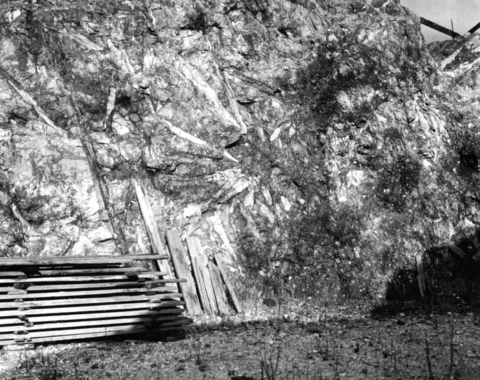


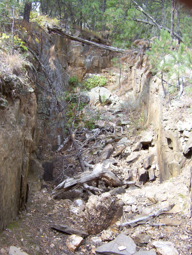


Etta Mine, Keystone, Keystone Mining District, Pennington County, South Dakota, USA