| Locality | Latitude | Longitude | Distance | Bearing |
|---|
| Mount Pisgah, Springfield, Lane County, Oregon, USA | 44° 0' 20" N | 122° 57' 51" W | 0.0km (0.0 miles) | |
| Unnamed Stone - Crushed/Broken Pit (MRDS - 10177733), Lane County, Oregon, USA | 44° 1' 41" N | 122° 58' 40" W | 2.7km (1.7 miles) | |
| Unnamed Stone - Crushed/Broken Pit (MRDS - 10225393), Lane County, Oregon, USA | 44° 1' 50" N | 123° 0' 12" W | 4.2km (2.6 miles) | |
| Unnamed Stone - Crushed/Broken Pit (MRDS - 10158630), Lane County, Oregon, USA | 44° 1' 37" N | 123° 0' 32" W | 4.3km (2.7 miles) | |
| Springfield Quarry, Springfield, Lane County, Oregon, USA | 44° 1' 54" N | 123° 0' 24" W | 4.5km (2.8 miles) | |
| Vitus Quarry, Lane County, Oregon, USA | 44° 2' 16" N | 122° 55' 15" W | 5.0km (3.1 miles) | |
| D. K. Mitchell Pit, Lane County, Oregon, USA | 44° 1' 42" N | 122° 54' 11" W | 5.5km (3.4 miles) | |
| Springfield, Lane County, Oregon, USA | 44° 2' 46" N | 123° 1' 19" W | 6.4km (4.0 miles) | |
| Hills Siding, Lane County, Oregon, USA | 43° 59' 0" N | 122° 52' 45" W | 7.2km (4.5 miles) | |
| Unnamed Stone - Crushed/Broken Pit (MRDS - 10128194), Lane County, Oregon, USA | 44° 5' 4" N | 122° 59' 30" W | 9.1km (5.6 miles) | |
| Unnamed Stone - Crushed/Broken Pit (MRDS - 10201596), Lane County, Oregon, USA | 43° 56' 22" N | 122° 53' 21" W | 9.5km (5.9 miles) | |
| Olga Kordon, Lane County, Oregon, USA | 43° 57' 14" N | 122° 51' 38" W | 10.1km (6.3 miles) | |
| Trent, Lane County, Oregon, USA | 43° 56' 34" N | 122° 51' 38" W | 10.9km (6.8 miles) | |
| Fisher Butte Quarry (MRDS - 10128327), Lane County, Oregon, USA | 44° 1' 56" N | 123° 6' 1" W | 11.3km (7.0 miles) | |
| Larson Quarry, Lane County, Oregon, USA | 44° 1' 56" N | 123° 6' 1" W | 11.3km (7.0 miles) | |
| Eugene Sand and Gravel Incorporate, Lane County, Oregon, USA | 44° 5' 17" N | 123° 2' 45" W | 11.3km (7.0 miles) | |
| O & C Land, Lane County, Oregon, USA | 43° 54' 2" N | 122° 58' 0" W | 11.7km (7.3 miles) | |
| Unnamed Stone - Crushed/Broken Pit (MRDS - 10250895), Lane County, Oregon, USA | 43° 55' 39" N | 123° 3' 56" W | 11.9km (7.4 miles) | |
| Snyder Ranch Arsenic Occurrence, Lane County, Oregon, USA | 43° 55' 58" N | 122° 51' 12" W | 12.0km (7.5 miles) | |
| Gold Mine (MRDS - 10053667), Lane County, Oregon, USA | 43° 59' 39" N | 122° 48' 36" W | 12.4km (7.7 miles) | |
| Unnamed Stone - Crushed/Broken Pit (MRDS - 10225763), Lane County, Oregon, USA | 44° 7' 5" N | 123° 1' 37" W | 13.5km (8.4 miles) | |
| Coburg Butte, McKenzie River, Lane County, Oregon, USA | 44° 6' 52" N | 123° 2' 41" W | 13.7km (8.5 miles) | |
| Little Fall Creek Pit, Lane County, Oregon, USA | 43° 58' 45" N | 122° 47' 44" W | 13.8km (8.6 miles) | |
| Golden Star Mine, Lane County, Oregon, USA | 44° 7' 10" N | 123° 2' 26" W | 14.1km (8.7 miles) | |
| Hawkins Butte Occurrence, Lane County, Oregon, USA | 44° 2' 22" N | 123° 8' 9" W | 14.2km (8.8 miles) | |
| M-120, Springfield, Lane County, Oregon, USA | 44° 8' 17" N | 122° 57' 32" W | 14.7km (9.2 miles) | |
| Country Squire Tree Farm Pit, Lane County, Oregon, USA | 44° 8' 0" N | 123° 1' 10" W | 14.9km (9.2 miles) | |
| Sears Road Pit, Lane County, Oregon, USA | 43° 52' 5" N | 123° 0' 32" W | 15.7km (9.8 miles) | |
| Eugene Molding Sand Deposit (Wallace Butte), Lane County, Oregon, USA | 44° 2' 57" N | 123° 9' 10" W | 15.8km (9.8 miles) | |
| Fall Creek Quarry, Lane County, Oregon, USA | 43° 57' 25" N | 122° 46' 36" W | 15.9km (9.9 miles) | |
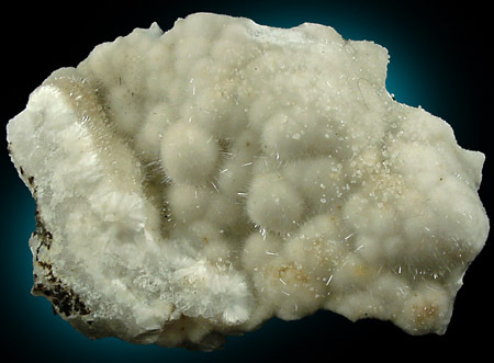
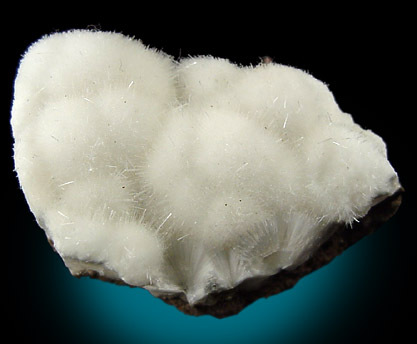


Old Springfield Butte Quarry, Springfield, Lane County, Oregon, USA