| Locality | Latitude | Longitude | Distance | Bearing |
|---|
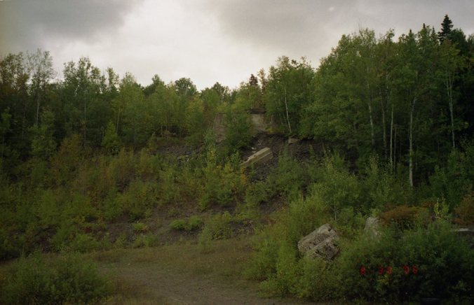
| Minesota Mine, Rockland, Ontonagon County, Michigan, USA | 46° 43' 45" N | 89° 10' 32" W | 0.0km (0.0 miles) | |
| Vulcan Mine, Ontonagon County, Michigan, USA | 46° 43' 48" N | 89° 10' 27" W | 0.1km (0.1 miles) | |
| National Mine, Rockland, Ontonagon County, Michigan, USA | 46° 43' 42" N | 89° 10' 45" W | 0.3km (0.2 miles) | |
| Peninsula Mine, Ontonagon County, Michigan, USA | 46° 43' 28" N | 89° 10' 36" W | 0.5km (0.3 miles) | |
| Rockland Mine, Rockland, Ontonagon County, Michigan, USA | 46° 43' 58" N | 89° 9' 53" W | 0.9km (0.6 miles) | |
| Rockland, Ontonagon County, Michigan, USA | 46° 44' 16" N | 89° 10' 46" W | 1.0km (0.6 miles) | |
| Michigan Mine, Rockland, Ontonagon County, Michigan, USA | 46° 43' 48" N | 89° 9' 28" W | 1.4km (0.8 miles) | |
| Ontonagon Mine (1), Rockland, Ontonagon County, Michigan, USA | 46° 43' 32" N | 89° 11' 48" W | 1.7km (1.0 miles) | |
| Bumblebee Mine, Rockland, Ontonagon County, Michigan, USA | 46° 44' 6" N | 89° 9' 5" W | 1.9km (1.2 miles) | |
| Lake Superior Mine, Ontonagon County, Michigan, USA | 46° 44' 21" N | 89° 8' 48" W | 2.5km (1.5 miles) | |
| Flintsteel Mine (Nassau Mine; Old Flintsteel Mine; Superior-Nassau Superior Mine), Mass City, Ontonagon County, Michigan, USA | 46° 44' 29" N | 89° 8' 41" W | 2.7km (1.7 miles) | |
| Ontonagon River, Ontonagon County, Michigan, USA | 46° 42' 14" N | 89° 11' 0" W | 2.9km (1.8 miles) | |
| Flintsteel River Mine, Ontonagon County, Michigan, USA | 46° 44' 20" N | 89° 7' 51" W | 3.6km (2.2 miles) | |
| Oneida Mine, Victoria, Ontonagon County, Michigan, USA | 46° 43' 10" N | 89° 13' 27" W | 3.8km (2.4 miles) | |
| West Minnesota Mine, Victoria, Ontonagon County, Michigan, USA | 46° 43' 14" N | 89° 13' 31" W | 3.9km (2.4 miles) | |
| Arctic Mine, Victoria, Ontonagon County, Michigan, USA | 46° 42' 11" N | 89° 13' 17" W | 4.5km (2.8 miles) | |
| Nebraska Mine, Mass City, Ontonagon County, Michigan, USA | 46° 44' 53" N | 89° 7' 14" W | 4.7km (2.9 miles) | |
| Caledonia Mine, Mass City, Ontonagon County, Michigan, USA | 46° 45' 3" N | 89° 7' 13" W | 4.9km (3.0 miles) | |
| Old Victoria, Victoria, Ontonagon County, Michigan, USA | 46° 42' 15" N | 89° 13' 41" W | 4.9km (3.0 miles) | |
| Sandstone Creek, Bruce Crossing, Ontonagon County, Michigan, USA | 46° 40' 59" N | 89° 10' 0" W | 5.2km (3.2 miles) | |
| Victoria Mine (Cushin Mine), Victoria, Ontonagon County, Michigan, USA | 46° 42' 0" N | 89° 13' 45" W | 5.2km (3.2 miles) | |
| Victoria, Ontonagon County, Michigan, USA | 46° 41' 56" N | 89° 13' 46" W | 5.3km (3.3 miles) | |
| Knowlton Mine, Mass City, Ontonagon County, Michigan, USA | 46° 45' 15" N | 89° 6' 55" W | 5.4km (3.3 miles) | |
| Old Mass Mine, Mass City, Ontonagon County, Michigan, USA | 46° 45' 25" N | 89° 6' 47" W | 5.7km (3.5 miles) | |
| Hazard Mine, Mass Consolidated Mine, Mass City, Ontonagon County, Michigan, USA | 46° 45' 59" N | 89° 7' 18" W | 5.8km (3.6 miles) | |
| Ogima Mine, Mass Consolidated Mine, Mass City, Ontonagon County, Michigan, USA | 46° 45' 30" N | 89° 6' 18" W | 6.3km (3.9 miles) | |
| Ontonagon Boulder, Ontonagon River, Ontonagon County, Michigan, USA | 46° 41' 11" N | 89° 14' 2" W | 6.5km (4.0 miles) | |
| Ontonagon Mine (2), Victoria, Ontonagon County, Michigan, USA | 46° 41' 8" N | 89° 14' 5" W | 6.6km (4.1 miles) | |
| Merrimac Mine, Mass Consolidated Mine, Mass City, Ontonagon County, Michigan, USA | 46° 45' 50" N | 89° 6' 6" W | 6.8km (4.2 miles) | |
| Evergreen Series (Evergreen Lodes), Ontonagon County, Michigan, USA | 46° 45' 48" N | 89° 6' 3" W | 6.8km (4.3 miles) | |


Minesota Mine, Rockland, Ontonagon County, Michigan, USA