| Locality | Latitude | Longitude | Distance | Bearing |
|---|
| Radiolarite outcrop (incl. Gfrererloch), Fuchs Alp - Fuchs lake area, Tweng, Tamsweg District, Salzburg, Austria | 47° 12' 4" N | 13° 32' 43" E | 1.6km (1.0 miles) | |
| Lackenspitze, Fuchs Alp - Fuchs lake area, Tweng, Tamsweg District, Salzburg, Austria | 47° 11' 10" N | 13° 32' 42" E | 2.2km (1.4 miles) | |
| Fuchs Alp - Fuchs lake area, Tweng, Tamsweg District, Salzburg, Austria | 47° 11' 28" N | 13° 32' 6" E | 2.6km (1.6 miles) | |
| Weißeneck, Tweng, Tamsweg District, Salzburg, Austria | 47° 10' 36" N | 13° 33' 51" E | 2.6km (1.6 miles) | |
| Lapernigspitze, Tweng, Tamsweg District, Salzburg, Austria | 47° 10' 15" N | 13° 35' 25" E | 3.7km (2.3 miles) | |
| Lagler, Tweng, Tamsweg District, Salzburg, Austria | 47° 10' 28" N | 13° 37' 10" E | 4.9km (3.1 miles) | |
| Znotterbach, Zederhaus, Tamsweg District, Salzburg, Austria | 47° 9' 13" N | 13° 32' 20" E | 5.6km (3.5 miles) | |
| Lantschfeld valley, Tweng, Tamsweg District, Salzburg, Austria | 47° 12' 37" N | 13° 29' 27" E | 5.8km (3.6 miles) | |
| Diepalgraben, Zederhaus, Tamsweg District, Salzburg, Austria | 47° 8' 38" N | 13° 32' 51" E | 6.4km (4.0 miles) | |
| A10 Highway cut (Zederhaus cut), Zederhaus, Tamsweg District, Salzburg, Austria | 47° 8' 54" N | 13° 30' 44" E | 7.0km (4.4 miles) | |
| Fellergraben, Fell, Sankt Michael im Lungau, Tamsweg District, Salzburg, Austria | 47° 8' 4" N | 13° 34' 11" E | 7.3km (4.5 miles) | |
| Lamm, Zederhaus, Tamsweg District, Salzburg, Austria | 47° 8' 8" N | 13° 32' 42" E | 7.3km (4.6 miles) | |
| Fell, Sankt Michael im Lungau, Tamsweg District, Salzburg, Austria | 47° 7' 26" N | 13° 34' 0" E | 8.5km (5.3 miles) | |
| Znach valley, Weißpriach, Tamsweg District, Salzburg, Austria | 47° 14' 45" N | 13° 39' 42" E | 8.8km (5.5 miles) | |
| Oberhüttensee, Forstau, St. Johann im Pongau District, Salzburg, Austria | 47° 16' 39" N | 13° 36' 8" E | 9.0km (5.6 miles) | |
| Moserkopf, Mauterndorf, Tamsweg District, Salzburg, Austria | 47° 9' 30" N | 13° 40' 14" E | 9.2km (5.7 miles) | |
| Lungauer Kalkspitze (incl. Znachsattel; "Im Kalk"), Weißpriach, Tamsweg District, Salzburg, Austria | 47° 16' 20" N | 13° 37' 28" E | 9.2km (5.7 miles) | |
| Mauterndorf quarry, Mauterndorf quarries, Mauterndorf, Tamsweg District, Salzburg, Austria | 47° 8' 54" N | 13° 39' 43" E | 9.3km (5.7 miles) | |
| Hundstein, Znach valley, Weißpriach, Tamsweg District, Salzburg, Austria | 47° 14' 12" N | 13° 40' 55" E | 9.7km (6.0 miles) | |
| Klaus quarry, Oberweißburg, Sankt Michael im Lungau, Tamsweg District, Salzburg, Austria | 47° 6' 46" N | 13° 34' 21" E | 9.7km (6.0 miles) | |
| Wald, Zederhaus, Tamsweg District, Salzburg, Austria | 47° 10' 52" N | 13° 26' 15" E | 9.9km (6.2 miles) | |
| Steirische Kalkspitze (incl. Akarscharte; Akharscharte), Giglach lakes, Giglach valley, Schladming, Liezen District, Styria, Austria | 47° 16' 51" N | 13° 37' 27" E | 10.0km (6.2 miles) | |
| Kranzlhöhe, Forstau, St. Johann im Pongau District, Salzburg, Austria | 47° 17' 17" N | 13° 36' 9" E | 10.2km (6.3 miles) | |
| Giglach lakes, Giglach valley, Schladming, Liezen District, Styria, Austria | 47° 16' 50" N | 13° 38' 43" E | 10.8km (6.7 miles) | |
| Engelkar, Giglach lakes, Giglach valley, Schladming, Liezen District, Styria, Austria | 47° 16' 25" N | 13° 39' 45" E | 11.0km (6.8 miles) | |
| Oberweißburg, Sankt Michael im Lungau, Tamsweg District, Salzburg, Austria | 47° 6' 12" N | 13° 35' 42" E | 11.0km (6.8 miles) | |
| Zickenberg, Oberweißburg, Sankt Michael im Lungau, Tamsweg District, Salzburg, Austria | 47° 6' 2" N | 13° 32' 52" E | 11.2km (6.9 miles) | |
| Knappenkar, Weißpriach, Tamsweg District, Salzburg, Austria | 47° 15' 59" N | 13° 40' 36" E | 11.2km (6.9 miles) | |
| Ignaz-Mattis lodge, Giglach lakes, Giglach valley, Schladming, Liezen District, Styria, Austria | 47° 17' 5" N | 13° 38' 47" E | 11.2km (7.0 miles) | |
| Knappen lakes, Giglach valley, Schladming, Liezen District, Styria, Austria | 47° 16' 37" N | 13° 40' 1" E | 11.4km (7.1 miles) | |
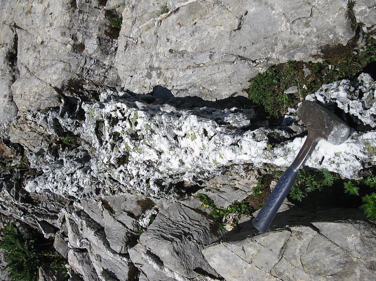


Lungauer Kalkspitze, Weißpriach, Tamsweg District, Salzburg, Austria