| Locality | Latitude | Longitude | Distance | Bearing |
|---|
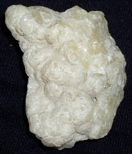
| Camano Island, Island County, Washington, USA | 48° 11' 29" N | 122° 31' 0" W | 0.0km (0.0 miles) | |
| Coupeville, Whidbey Island (Whidby Island), Island County, Washington, USA | 48° 13' 10" N | 122° 41' 11" W | 13.0km (8.1 miles) | |
| Penn Cove, Coupeville, Whidbey Island (Whidby Island), Island County, Washington, USA | 48° 13' 47" N | 122° 41' 23" W | 13.5km (8.4 miles) | |
| Ebey's Landing, Whidbey Island (Whidby Island), Island County, Washington, USA | 48° 11' 30" N | 122° 42' 29" W | 14.2km (8.8 miles) | |
| Whidbey Island (Whidby Island), Island County, Washington, USA | 48° 17' 32" N | 122° 40' 35" W | 16.3km (10.1 miles) | |
| Alverson Mine, Fidalgo Island, Skagit County, Washington, USA | 48° 22' 59" N | 122° 30' 0" W | 21.3km (13.3 miles) | |
| Swinomish Bay Magnesite Occurrence, Fidalgo Island, Skagit County, Washington, USA | 48° 23' 12" N | 122° 31' 28" W | 21.7km (13.5 miles) | |
| Mount Vernon Mine, Skagit County, Washington, USA | 48° 22' 8" N | 122° 17' 29" W | 25.8km (16.0 miles) | |
| Beach Placers, Fidalgo Island, Skagit County, Washington, USA | 48° 26' 36" N | 122° 34' 39" W | 28.4km (17.6 miles) | |
| Matrix Prospect, Fidalgo Island, Skagit County, Washington, USA | 48° 26' 10" N | 122° 38' 11" W | 28.6km (17.8 miles) | |
| Mats Mats Quarry, Jefferson County, Washington, USA | 47° 57' 21" N | 122° 40' 57" W | 29.0km (18.0 miles) | |
| Fidalgo Island Prospect, Fidalgo Island, Skagit County, Washington, USA | 48° 27' 49" N | 122° 38' 11" W | 31.5km (19.6 miles) | |
| Port Ludlow Roadcuts, Jefferson County, Washington, USA | 47° 55' 32" N | 122° 40' 55" W | 32.0km (19.9 miles) | |
| Walker Valley, Skagit County, Washington, USA | 48° 22' 19" N | 122° 9' 54" W | 32.8km (20.4 miles) | |
| Anacopper Prospect, Fidalgo Island, Skagit County, Washington, USA | 48° 29' 26" N | 122° 39' 23" W | 34.8km (21.6 miles) | |
| Shine Quarry, Jefferson County, Washington, USA | 47° 54' 14" N | 122° 43' 6" W | 35.3km (22.0 miles) | |
| Stephens Mine, Fidalgo Island, Skagit County, Washington, USA | 48° 29' 52" N | 122° 38' 48" W | 35.4km (22.0 miles) | |
| Jordan Cordierite Occurrence, Granite Falls Mining District, Snohomish County, Washington, USA | 48° 8' 47" N | 122° 2' 17" W | 35.8km (22.3 miles) | |
| Beaver Valley Quarry, Jefferson County, Washington, USA | 47° 53' 53" N | 122° 44' 19" W | 36.6km (22.7 miles) | |
| Nookachamps Creek Arsenic Occurrence, Skagit County, Washington, USA | 48° 24' 58" N | 122° 8' 57" W | 36.9km (22.9 miles) | |
| Cultus Mountain Nickel Occurrence, Skagit County, Washington, USA | 48° 24' 49" N | 122° 8' 36" W | 37.0km (23.0 miles) | |
| Stephens Mine, Skagit County, Washington, USA | 48° 26' 29" N | 122° 11' 0" W | 37.2km (23.1 miles) | |
| Jordan Zinc Mine, Granite Falls Mining District, Snohomish County, Washington, USA | 48° 7' 49" N | 122° 0' 38" W | 38.1km (23.7 miles) | |
| Clear Lake Talc Mines, Skagit County, Washington, USA | 48° 27' 22" N | 122° 11' 10" W | 38.2km (23.8 miles) | |
| Bald Mountain Prospect, Skagit County, Washington, USA | 48° 21' 56" N | 122° 2' 41" W | 39.9km (24.8 miles) | |
| Olivine Hill Mine, Cypress Island, Skagit County, Washington, USA | 48° 32' 37" N | 122° 41' 13" W | 41.1km (25.6 miles) | |
| Reef Point Mine, Cypress Island, Skagit County, Washington, USA | 48° 32' 25" N | 122° 43' 18" W | 41.6km (25.9 miles) | |
| Yankee Boy Mine, Granite Falls Mining District, Snohomish County, Washington, USA | 48° 5' 19" N | 121° 57' 19" W | 43.2km (26.8 miles) | |
| Mexican Bay Prospect, Cypress Island, Skagit County, Washington, USA | 48° 33' 58" N | 122° 40' 51" W | 43.4km (27.0 miles) | |
| Beacon Point Olivine Occurrence, Cypress Island, Skagit County, Washington, USA | 48° 34' 5" N | 122° 40' 20" W | 43.4km (27.0 miles) | |


Camano Island, Island County, Washington, USA