| Locality | Latitude | Longitude | Distance | Bearing |
|---|
| New Light Mine, Slate Creek Mining District, Whatcom County, Washington, USA | 48° 45' 40" N | 120° 43' 31" W | 0.0km (0.0 miles) | |
| Walla Walla Prospect, Slate Creek Mining District, Whatcom County, Washington, USA | 48° 45' 24" N | 120° 43' 4" W | 0.7km (0.5 miles) | |
| Allen Basin Mine, Slate Creek Mining District, Whatcom County, Washington, USA | 48° 45' 14" N | 120° 43' 53" W | 0.9km (0.6 miles) | |
| Baltimore Prospect, Slate Creek Mining District, Whatcom County, Washington, USA | 48° 45' 51" N | 120° 44' 16" W | 1.0km (0.6 miles) | |
| Golden Arrow Mine, Slate Creek Mining District, Whatcom County, Washington, USA | 48° 45' 13" N | 120° 42' 59" W | 1.0km (0.6 miles) | |
| Mammoth Mine, Slate Creek Mining District, Whatcom County, Washington, USA | 48° 45' 11" N | 120° 42' 48" W | 1.2km (0.8 miles) | |
| Spafford Prospect, Slate Creek Mining District, Whatcom County, Washington, USA | 48° 46' 18" N | 120° 42' 55" W | 1.4km (0.9 miles) | |
| Randall Prospect, Slate Creek Mining District, Whatcom County, Washington, USA | 48° 45' 18" N | 120° 42' 30" W | 1.4km (0.9 miles) | |
| Indiana Mine, Slate Creek Mining District, Whatcom County, Washington, USA | 48° 45' 23" N | 120° 42' 6" W | 1.8km (1.1 miles) | |
| Beck and Short Grub Prospect, Slate Creek Mining District, Whatcom County, Washington, USA | 48° 45' 13" N | 120° 42' 5" W | 1.9km (1.2 miles) | |
| First Find and Ivanhoe Prospect, Slate Creek Mining District, Whatcom County, Washington, USA | 48° 45' 12" N | 120° 41' 55" W | 2.1km (1.3 miles) | |
| Illinois Mine, Slate Creek Mining District, Whatcom County, Washington, USA | 48° 44' 47" N | 120° 42' 8" W | 2.3km (1.5 miles) | |
| Red Jacket Prospect, Slate Creek Mining District, Whatcom County, Washington, USA | 48° 47' 19" N | 120° 44' 13" W | 3.2km (2.0 miles) | |
| Great Northern Prospect, Slate Creek Mining District, Whatcom County, Washington, USA | 48° 43' 51" N | 120° 43' 54" W | 3.4km (2.1 miles) | |
| Goat Mine, Slate Creek Mining District, Whatcom County, Washington, USA | 48° 43' 52" N | 120° 44' 55" W | 3.7km (2.3 miles) | |
| Whistler Mine, Slate Creek Mining District, Whatcom County, Washington, USA | 48° 43' 24" N | 120° 44' 30" W | 4.3km (2.7 miles) | |
| New Hope Prospect, Okanogan County, Washington, USA | 48° 46' 39" N | 120° 39' 39" W | 5.1km (3.1 miles) | |
| Ninetynine Prospect, Slate Creek Mining District, Whatcom County, Washington, USA | 48° 42' 51" N | 120° 42' 28" W | 5.4km (3.3 miles) | |
| Farrar Placer (Chancellor Placer), Slate Creek Mining District, Whatcom County, Washington, USA | 48° 45' 4" N | 120° 48' 22" W | 6.0km (3.7 miles) | |
| Anacortes Mine, Slate Creek Mining District, Whatcom County, Washington, USA | 48° 46' 31" N | 120° 49' 29" W | 7.5km (4.6 miles) | |
| North American Mine, Slate Creek Mining District, Whatcom County, Washington, USA | 48° 43' 14" N | 120° 50' 8" W | 9.2km (5.7 miles) | |
| Minnesota Mine, Slate Creek Mining District, Whatcom County, Washington, USA | 48° 44' 3" N | 120° 51' 0" W | 9.6km (6.0 miles) | |
| Azurite Mine, Slate Creek Mining District, Whatcom County, Washington, USA | 48° 40' 56" N | 120° 46' 50" W | 9.6km (6.0 miles) | |
| Gold Ridge Prospect, Okanogan County, Washington, USA | 48° 51' 55" N | 120° 44' 25" W | 11.6km (7.2 miles) | |
| Gold Hill Mine, Slate Creek Mining District, Whatcom County, Washington, USA | 48° 40' 7" N | 120° 48' 27" W | 11.9km (7.4 miles) | |
| Old Discovery Placer (Boulder Placer; New Discovery Placer; Ruby Bar Placer), Ruby Creek, Whatcom County, Washington, USA | 48° 42' 55" N | 120° 52' 37" W | 12.3km (7.6 miles) | |
| Canyon Creek Placers, Whatcom County, Washington, USA | 48° 42' 27" N | 120° 55' 0" W | 15.3km (9.5 miles) | |
| Lazy Tar Heel Placer, Whatcom County, Washington, USA | 48° 42' 19" N | 120° 56' 42" W | 17.3km (10.7 miles) | |
| Ruby Creek Garnet Occurrence, Whatcom County, Washington, USA | 48° 42' 44" N | 120° 59' 6" W | 19.8km (12.3 miles) | |
| Driveway Butte, Mazama Mining District, Okanogan County, Washington, USA | 48° 38' 0" N | 120° 31' 35" W | 20.4km (12.7 miles) | |
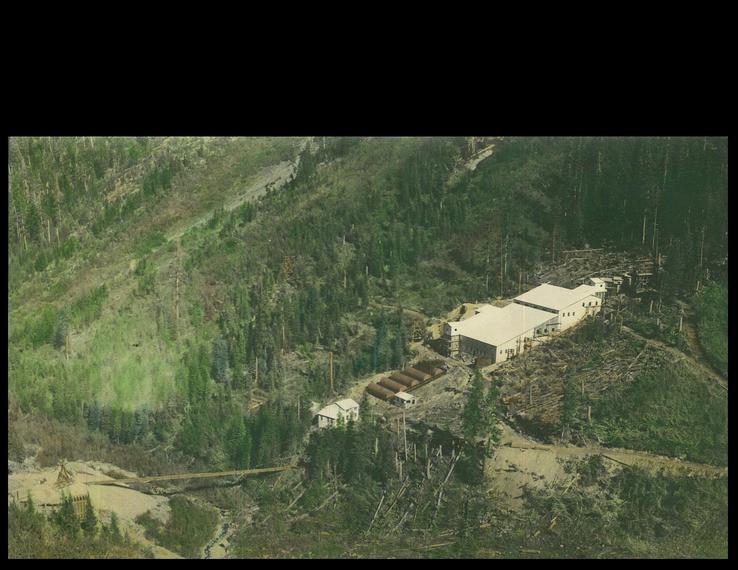


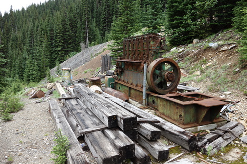


Azurite Mine, Slate Creek Mining District, Whatcom County, Washington, USA