| Locality | Latitude | Longitude | Distance | Bearing |
|---|
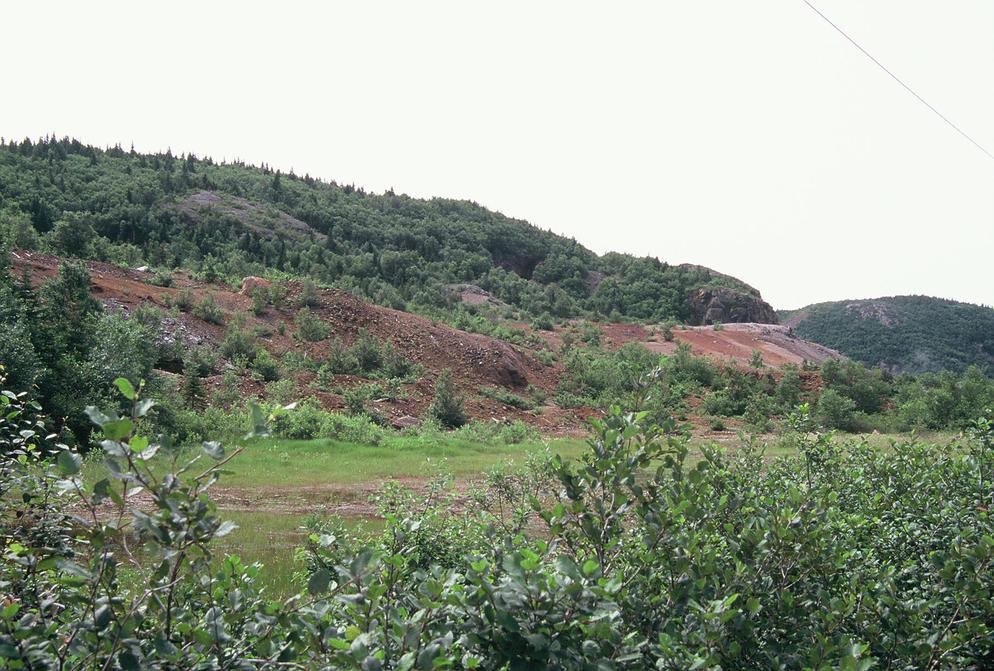
| Tilt Cove Slag Locality, Tilt Cove, Baie Verte Peninsula, Newfoundland, Newfoundland and Labrador, Canada | 49° 53' 15" N | 55° 37' 31" W | 0.6km (0.4 miles) | |
| Tilt Cove Mine, Tilt Cove, Baie Verte Peninsula, Newfoundland, Newfoundland and Labrador, Canada | 49° 53' 9" N | 55° 37' 26" W | 0.6km (0.4 miles) | |
| Tilt Cove, Baie Verte Peninsula, Newfoundland, Newfoundland and Labrador, Canada | 49° 52' 55" N | 55° 37' 27" W | 0.7km (0.5 miles) | |
| Mud Pond, Betts Cove, Baie Verte Peninsula, Newfoundland, Newfoundland and Labrador, Canada | 49° 53' 31" N | 55° 36' 58" W | 1.4km (0.9 miles) | |
| Long Pond, Betts Cove, Baie Verte Peninsula, Newfoundland, Newfoundland and Labrador, Canada | 49° 52' 44" N | 55° 39' 3" W | 1.5km (0.9 miles) | |
| Nudulama showing, Betts Cove, Baie Verte Peninsula, Newfoundland, Newfoundland and Labrador, Canada | 49° 52' 21" N | 55° 39' 41" W | 2.5km (1.6 miles) | |
| Red Cliff Pond, Betts Cove, Baie Verte Peninsula, Newfoundland, Newfoundland and Labrador, Canada | 49° 52' 29" N | 55° 42' 57" W | 6.1km (3.8 miles) | |
| Nugget Pond Mine, Betts Cove, Baie Verte Peninsula, Newfoundland, Newfoundland and Labrador, Canada | 49° 50' 35" N | 55° 46' 10" W | 10.9km (6.8 miles) | |
| Nugget Pond Mine, Baie Verte Peninsula, Newfoundland, Newfoundland and Labrador, Canada | 49° 50' 36" N | 55° 46' 17" W | 11.0km (6.8 miles) | |
| Growler, Baie Verte Peninsula, Newfoundland, Newfoundland and Labrador, Canada | 49° 50' 37" N | 55° 47' 27" W | 12.3km (7.6 miles) | |
| Betts Cove, Baie Verte Peninsula, Newfoundland, Newfoundland and Labrador, Canada | 49° 48' 59" N | 55° 46' 53" W | 13.2km (8.2 miles) | |
| Betts Cove mine, Betts Cove, Baie Verte Peninsula, Newfoundland, Newfoundland and Labrador, Canada | 49° 48' 42" N | 55° 48' 21" W | 14.9km (9.3 miles) | |
| East Mine, Baie Verte, Baie Verte Peninsula, Newfoundland, Newfoundland and Labrador, Canada | 49° 54' 1" N | 56° 3' 34" W | 30.6km (19.0 miles) | |
| Ming South Zone, Baie Verte, Baie Verte Peninsula, Newfoundland, Newfoundland and Labrador, Canada | 49° 55' 18" N | 56° 4' 15" W | 31.6km (19.7 miles) | |
| Goldenville prospect, Baie Verte Peninsula, Newfoundland, Newfoundland and Labrador, Canada | 49° 59' 47" N | 56° 2' 25" W | 31.7km (19.7 miles) | |
| Ming Boundary shaft, Baie Verte, Baie Verte Peninsula, Newfoundland, Newfoundland and Labrador, Canada | 49° 55' 4" N | 56° 4' 25" W | 31.8km (19.7 miles) | |
| Ming North Zone, Baie Verte, Baie Verte Peninsula, Newfoundland, Newfoundland and Labrador, Canada | 49° 54' 54" N | 56° 4' 36" W | 32.0km (19.9 miles) | |
| Argyle Deposit, Ming's Bight, Baie Verte Peninsula, Newfoundland, Newfoundland and Labrador, Canada | 49° 58' 39" N | 56° 3' 25" W | 32.0km (19.9 miles) | |
| Rambler Mine, Baie Verte, Baie Verte Peninsula, Newfoundland, Newfoundland and Labrador, Canada | 49° 53' 40" N | 56° 4' 53" W | 32.2km (20.0 miles) | |
| West Pit, Argyle Deposit, Ming's Bight, Baie Verte Peninsula, Newfoundland, Newfoundland and Labrador, Canada | 49° 58' 36" N | 56° 3' 35" W | 32.2km (20.0 miles) | |
| Ming Mine, Baie Verte, Baie Verte Peninsula, Newfoundland, Newfoundland and Labrador, Canada | 49° 54' 46" N | 56° 4' 51" W | 32.2km (20.0 miles) | |
| Ming West Mine, Baie Verte, Baie Verte Peninsula, Newfoundland, Newfoundland and Labrador, Canada | 49° 54' 51" N | 56° 5' 5" W | 32.5km (20.2 miles) | |
| Big Rambler Pond, Baie Verte, Baie Verte Peninsula, Newfoundland, Newfoundland and Labrador, Canada | 49° 53' 41" N | 56° 5' 12" W | 32.5km (20.2 miles) | |
| Deer Cove deposit, Baie Verte Peninsula, Newfoundland, Newfoundland and Labrador, Canada | 50° 0' 56" N | 56° 2' 37" W | 32.7km (20.3 miles) | |
| East Pit, Stog'er Tight deposit, Baie Verte, Baie Verte Peninsula, Newfoundland, Newfoundland and Labrador, Canada | 49° 57' 55" N | 56° 4' 32" W | 32.9km (20.4 miles) | |
| Stog'er Tight deposit, Baie Verte, Baie Verte Peninsula, Newfoundland, Newfoundland and Labrador, Canada | 49° 57' 51" N | 56° 4' 35" W | 32.9km (20.5 miles) | |
| West Pit, Stog'er Tight deposit, Baie Verte, Baie Verte Peninsula, Newfoundland, Newfoundland and Labrador, Canada | 49° 57' 58" N | 56° 4' 40" W | 33.1km (20.6 miles) | |
| Silverdale (Bear Cove) Mine, Springdale peninsula, Notre Dame Bay, Newfoundland, Newfoundland and Labrador, Canada | 49° 40' 54" N | 55° 59' 26" W | 34.3km (21.3 miles) | |
| Corkscrew - Big Bear prospect, Baie Verte Peninsula, Newfoundland, Newfoundland and Labrador, Canada | 49° 58' 54" N | 56° 6' 47" W | 36.0km (22.4 miles) | |
| Pine Cove Mine, Baie Verte Peninsula, Newfoundland, Newfoundland and Labrador, Canada | 49° 57' 40" N | 56° 7' 54" W | 36.7km (22.8 miles) | |


Tilt Cove Slag Locality, Tilt Cove, Baie Verte Peninsula, Newfoundland, Newfoundland and Labrador, Canada