| Locality | Latitude | Longitude | Distance | Bearing |
|---|
| Trethellan Mine, Tresavean Mine, Lanner, Lanner, Cornwall, England, UK | 50° 12' 22" N | 5° 11' 59" W | 0.0km (0.0 miles) | |
| Wheal Brewer, Tresavean Mine, Lanner, Lanner, Cornwall, England, UK | 50° 12' 25" N | 5° 12' 9" W | 0.2km (0.1 miles) | |
| Tretharrup Mine, Tresavean Mine, Lanner, Lanner, Cornwall, England, UK | 50° 12' 28" N | 5° 12' 5" W | 0.2km (0.1 miles) | |
| West Trethellan Mine, Tresavean Mine, Lanner, Lanner, Cornwall, England, UK | 50° 12' 22" N | 5° 12' 19" W | 0.4km (0.2 miles) | |
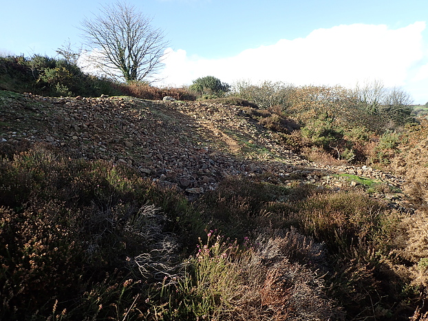
| Tresavean Mine, Lanner, Lanner, Cornwall, England, UK | 50° 12' 35" N | 5° 11' 45" W | 0.5km (0.3 miles) | |
| Carvannel Mine, Lanner, Cornwall, England, UK | 50° 12' 28" N | 5° 12' 25" W | 0.5km (0.3 miles) | |
| West Tresavean Mine (Bell and Lanner Mine), Tresavean Mine, Lanner, Lanner, Cornwall, England, UK | 50° 12' 38" N | 5° 12' 10" W | 0.5km (0.3 miles) | |
| Wheal Comford (Wheal Comfort; Bell Veor Mine), West Tresavean Mine (Bell and Lanner Mine), Tresavean Mine, Lanner, Lanner, Cornwall, England, UK | 50° 12' 42" N | 5° 12' 0" W | 0.6km (0.4 miles) | |
| Trelusback Mine, Penhalvean, Stithians, Cornwall, England, UK | 50° 12' 11" N | 5° 12' 34" W | 0.8km (0.5 miles) | |
| Bell Mine (Little Bell Mine; Bell Vean Mine; Bellvean Mine), West Tresavean Mine (Bell and Lanner Mine), Tresavean Mine, Lanner, Lanner, Cornwall, England, UK | 50° 12' 43" N | 5° 12' 20" W | 0.8km (0.5 miles) | |
| Treviskey Mine, East Tresavean Mine (Treviskey United Mines), Tresavean Mine, Lanner, Lanner, Cornwall, England, UK | 50° 12' 43" N | 5° 11' 20" W | 1.0km (0.6 miles) | |
| Lanner, Lanner, Cornwall, England, UK | 50° 12' 56" N | 5° 12' 6" W | 1.0km (0.7 miles) | |
| Penstruthal Mine (Bestruthal Mine; incl. North & South Penstruthal Mines), Lanner, Cornwall, England, UK | 50° 12' 50" N | 5° 12' 51" W | 1.3km (0.8 miles) | |
| South Wheal Clinton, New Clifford Mine, Lanner, Lanner, Cornwall, England, UK | 50° 13' 2" N | 5° 11' 21" W | 1.4km (0.9 miles) | |
| Penhalvean, Stithians, Cornwall, England, UK | 50° 11' 35" N | 5° 12' 37" W | 1.6km (1.0 miles) | |
| Pennance Mine (Pennance Consols; Wheal Amelia), Lanner, Lanner, Cornwall, England, UK | 50° 13' 13" N | 5° 12' 28" W | 1.7km (1.0 miles) | |
| Carn Marth quarry, Lanner, Cornwall, England, UK | 50° 13' 19" N | 5° 12' 15" W | 1.8km (1.1 miles) | |
| Wheal Beauchamp, Wheal Buller and Beauchamp, Redruth, Cornwall, England, UK | 50° 13' 11" N | 5° 12' 52" W | 1.9km (1.2 miles) | |
| Wheal Buller, Wheal Buller and Beauchamp, Redruth, Cornwall, England, UK | 50° 12' 51" N | 5° 13' 22" W | 1.9km (1.2 miles) | |
| Harvey's quarry, Lanner, Cornwall, England, UK | 50° 13' 28" N | 5° 12' 19" W | 2.1km (1.3 miles) | |
| Ting Tang Mine, Carharrack, Cornwall, England, UK | 50° 13' 27" N | 5° 11' 15" W | 2.2km (1.4 miles) | |
| Buller and Basset United Mine, Four Lanes, Carn Brea, Cornwall, England, UK | 50° 12' 15" N | 5° 13' 50" W | 2.2km (1.4 miles) | |
| Wheal Moyle, Gwennap, Cornwall, England, UK | 50° 13' 19" N | 5° 10' 52" W | 2.2km (1.4 miles) | |
| Wheal Trefusis (incl. East Wheal Trefusis), Redruth, Cornwall, England, UK | 50° 13' 24" N | 5° 13' 4" W | 2.3km (1.4 miles) | |
| Clyjah and Wentworth Mine (Perseverance Mine), Redruth, Cornwall, England, UK | 50° 13' 18" N | 5° 13' 19" W | 2.3km (1.5 miles) | |
| Copper Hill Mine, Redruth, Cornwall, England, UK | 50° 13' 5" N | 5° 13' 37" W | 2.3km (1.5 miles) | |
| South Wheal Basset, Carnkie, Carn Brea, Cornwall, England, UK | 50° 12' 39" N | 5° 13' 57" W | 2.4km (1.5 miles) | |
| Cathedral Mine, Busveal, St Day, Cornwall, England, UK | 50° 13' 43" N | 5° 12' 4" W | 2.5km (1.6 miles) | |
| East Wheal Basset, Redruth, Cornwall, England, UK | 50° 12' 58" N | 5° 13' 58" W | 2.6km (1.6 miles) | |
| West Wheal Damsel (Wheal Spinster), Wheal Damsel United Mines, Carharrack, Cornwall, England, UK | 50° 13' 44" N | 5° 11' 29" W | 2.6km (1.6 miles) | |


Tresavean Mine, Lanner, Lanner, Cornwall, England, UK