| Locality | Latitude | Longitude | Distance | Bearing |
|---|
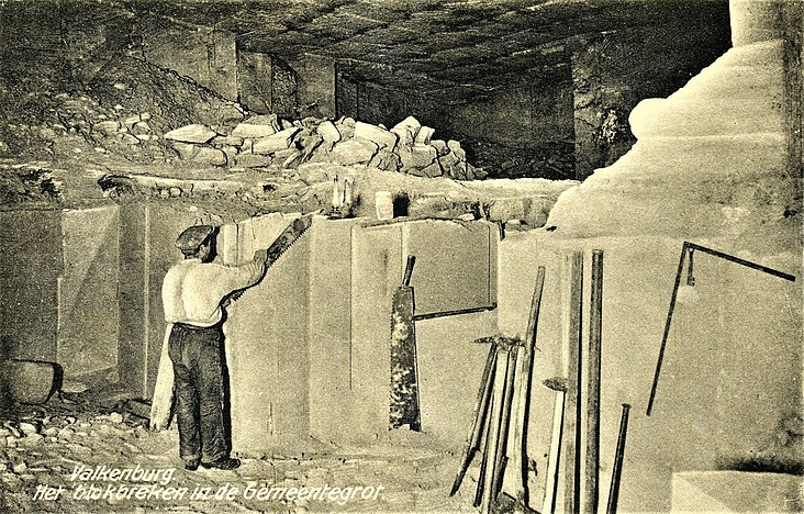
| Gemeentegrot quarry, Valkenburg aan de Geul, Limburg, Netherlands | 50° 51' 44" N | 5° 49' 44" E | 0.0km (0.0 miles) | |
| Kasteel quarry, Valkenburg aan de Geul, Limburg, Netherlands | 50° 51' 44" N | 5° 49' 49" E | 0.1km (0.1 miles) | |
| Villa Alpha quarries, Valkenburg aan de Geul, Limburg, Netherlands | 50° 51' 48" N | 5° 49' 42" E | 0.1km (0.1 miles) | |
| Alpha quarry, Valkenburg aan de Geul, Limburg, Netherlands | 50° 51' 48" N | 5° 49' 41" E | 0.1km (0.1 miles) | |
| Loisel quarry, Valkenburg aan de Geul, Limburg, Netherlands | 50° 51' 50" N | 5° 49' 40" E | 0.2km (0.1 miles) | |
| Fluweelengrot quarry, Valkenburg aan de Geul, Limburg, Netherlands | 50° 51' 38" N | 5° 49' 50" E | 0.2km (0.1 miles) | |
| Plenkert quarry, Valkenburg aan de Geul, Limburg, Netherlands | 50° 51' 51" N | 5° 49' 36" E | 0.2km (0.1 miles) | |
| Proeftunnel Daelhemerweg quarry, Valkenburg aan de Geul, Limburg, Netherlands | 50° 51' 38" N | 5° 49' 53" E | 0.3km (0.2 miles) | |
| Achter Villa Rozenheuvel quarry, Valkenburg aan de Geul, Limburg, Netherlands | 50° 51' 51" N | 5° 49' 35" E | 0.3km (0.2 miles) | |
| Heksenkeuken quarry, Valkenburg aan de Geul, Limburg, Netherlands | 50° 51' 52" N | 5° 49' 32" E | 0.3km (0.2 miles) | |
| Onder het Rotspark quarry, Valkenburg aan de Geul, Limburg, Netherlands | 50° 51' 54" N | 5° 49' 27" E | 0.4km (0.3 miles) | |
| Kerkhofs quarry, Valkenburg aan de Geul, Limburg, Netherlands | 50° 51' 30" N | 5° 49' 42" E | 0.4km (0.3 miles) | |
| Wilhelmina quarry, Valkenburg aan de Geul, Limburg, Netherlands | 50° 51' 34" N | 5° 50' 0" E | 0.5km (0.3 miles) | |
| Flint mines, Valkenburg aan de Geul, Limburg, Netherlands | 50° 51' 56" N | 5° 49' 23" E | 0.5km (0.3 miles) | |
| Vogelbos quarry, Valkenburg aan de Geul, Limburg, Netherlands | 50° 51' 28" N | 5° 49' 40" E | 0.5km (0.3 miles) | |
| Romeinse Katakomben, Heide quarry, Valkenburg aan de Geul, Limburg, Netherlands | 50° 51' 56" N | 5° 49' 18" E | 0.6km (0.4 miles) | |
| Heide quarry, Valkenburg aan de Geul, Limburg, Netherlands | 50° 51' 55" N | 5° 49' 14" E | 0.6km (0.4 miles) | |
| Hoorensberg quarry, Valkenburg aan de Geul, Limburg, Netherlands | 50° 51' 28" N | 5° 50' 4" E | 0.7km (0.4 miles) | |
| Ackermans quarry, Valkenburg aan de Geul, Limburg, Netherlands | 50° 51' 23" N | 5° 49' 33" E | 0.7km (0.4 miles) | |
| Daelhemerberg reconstructed coal mine, Valkenburg aan de Geul, Limburg, Netherlands | 50° 51' 22" N | 5° 49' 32" E | 0.7km (0.5 miles) | |
| Roebroek quarry, Valkenburg aan de Geul, Limburg, Netherlands | 50° 51' 20" N | 5° 49' 27" E | 0.8km (0.5 miles) | |
| Carolus quarry, Valkenburg aan de Geul, Limburg, Netherlands | 50° 51' 52" N | 5° 49' 4" E | 0.8km (0.5 miles) | |
| Einde Plenkertweg quarry, Valkenburg aan de Geul, Limburg, Netherlands | 50° 51' 55" N | 5° 49' 5" E | 0.8km (0.5 miles) | |
| Heytgracht pumping station, Valkenburg aan de Geul, Limburg, Netherlands | 50° 51' 54" N | 5° 49' 4" E | 0.8km (0.5 miles) | |
| Biebosch flint mines, Sibbe, Valkenburg aan de Geul, Limburg, Netherlands | 50° 51' 20" N | 5° 50' 13" E | 1.0km (0.6 miles) | |
| Naast Beckersbergske quarry, Sibbe, Valkenburg aan de Geul, Limburg, Netherlands | 50° 51' 11" N | 5° 49' 55" E | 1.0km (0.6 miles) | |
| Beckersbergske quarry, Sibbe, Valkenburg aan de Geul, Limburg, Netherlands | 50° 51' 11" N | 5° 49' 54" E | 1.1km (0.7 miles) | |
| Schaelsberg quarry, Valkenburg aan de Geul, Limburg, Netherlands | 50° 51' 47" N | 5° 50' 40" E | 1.1km (0.7 miles) | |
| Gewand I quarry, Sibbe, Valkenburg aan de Geul, Limburg, Netherlands | 50° 51' 15" N | 5° 50' 18" E | 1.1km (0.7 miles) | |
| Gewand II quarry, Sibbe, Valkenburg aan de Geul, Limburg, Netherlands | 50° 51' 15" N | 5° 50' 21" E | 1.1km (0.7 miles) | |
Minerals recorded nearby (within 1.1 km)
Rock types recorded nearby (within 1.1 km)
Entries shown in red are rocks recorded for this region.


Flint mines, Valkenburg aan de Geul, Limburg, Netherlands