| Locality | Latitude | Longitude | Distance | Bearing |
|---|
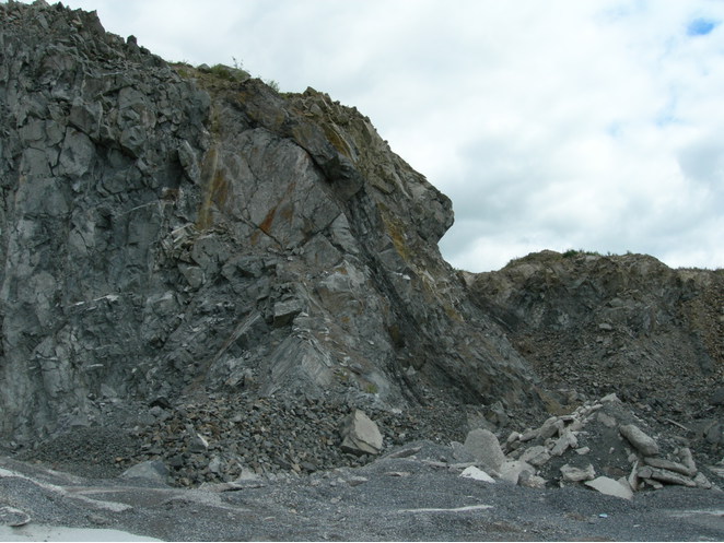
| B.D. Flood Quarry, Carricknaveddan, Stradone, Cavan County, Ulster, Ireland | 53° 55' 51" N | 7° 13' 10" W | 0.0km (0.0 miles) | |
| Drumgavny Quarry, Ballybay-Clones Municipal District, Monaghan County, Ulster, Ireland | 54° 8' 38" N | 6° 57' 48" W | 29.0km (18.0 miles) | |
| Gypsum quarry, Carrickmacross, Carrickmacross-Castleblayney Municipal District, Monaghan County, Ulster, Ireland | 53° 56' 23" N | 6° 46' 1" W | 29.7km (18.4 miles) | |
| Ballybay, Ballybay-Clones Municipal District, Monaghan County, Ulster, Ireland | 54° 7' 39" N | 6° 54' 12" W | 30.1km (18.7 miles) | |
| Logwood Hill, Calliagh, Ballybay-Clones Municipal District, Monaghan County, Ulster, Ireland | 54° 11' 6" N | 7° 1' 53" W | 30.8km (19.1 miles) | |
| Unnamed quarry, Meath County, Leinster, Ireland | 53° 54' 3" N | 6° 43' 56" W | 32.1km (19.9 miles) | |
| Carrickmacross, Carrickmacross-Castleblayney Municipal District, Monaghan County, Ulster, Ireland | 53° 58' 35" N | 6° 43' 9" W | 33.1km (20.6 miles) | |
| Annayalla, Clontibret mining district, Monaghan Municipal District, Monaghan County, Ulster, Ireland | 54° 9' 33" N | 6° 47' 22" W | 37.9km (23.5 miles) | |
| Clontibret, Clontibret mining district, Monaghan Municipal District, Monaghan County, Ulster, Ireland | 54° 12' 58" N | 6° 51' 5" W | 39.8km (24.7 miles) | |
| Clontibret Mine, Clontibret, Clontibret mining district, Monaghan Municipal District, Monaghan County, Ulster, Ireland | 54° 12' 50" N | 6° 50' 31" W | 39.9km (24.8 miles) | |
| Lemgare Mine, Clontibret mining district, Monaghan Municipal District, Monaghan County, Ulster, Ireland | 54° 12' 0" N | 6° 47' 25" W | 41.0km (25.5 miles) | |
| Annaglogh Mine, Annayalla, Clontibret mining district, Monaghan Municipal District, Monaghan County, Ulster, Ireland | 54° 11' 15" N | 6° 45' 45" W | 41.3km (25.6 miles) | |
| Navan Mine (Tara Mine), Navan (An Uaimh), Meath County, Leinster, Ireland | 53° 39' 20" N | 6° 43' 0" W | 45.1km (28.0 miles) | |
| Garrycam deposit (Keel Mine), Keel, Ballymahon, Longford County, Leinster, Ireland | 53° 38' 49" N | 7° 44' 12" W | 46.4km (28.8 miles) | |
| Tara Deep deposit, Navan Mine (Tara Mine), Navan (An Uaimh), Meath County, Leinster, Ireland | 53° 37' 48" N | 6° 43' 10" W | 46.9km (29.1 miles) | |
| Silverbridge quarries, Co. Armagh, Northern Ireland, UK | 54° 4' 35" N | 6° 31' 2" W | 48.7km (30.2 miles) | |
| Cullyhanna Road quarry, Newtownhamilton, Co. Armagh, Northern Ireland, UK | 54° 9' 36" N | 6° 35' 1" W | 48.7km (30.3 miles) | |
| Bencroy Colliery, Leitrim County, Connacht, Ireland | 54° 7' 13" N | 7° 55' 3" W | 50.2km (31.2 miles) | |
| Aghacashel Colliery, Leitrim County, Connacht, Ireland | 54° 7' 6" N | 7° 55' 18" W | 50.4km (31.3 miles) | |
| Brownstown Mine, Navan (An Uaimh), Meath County, Leinster, Ireland | 53° 42' 31" N | 6° 32' 37" W | 50.8km (31.6 miles) | |
| Newtownhamilton, Co. Armagh, Northern Ireland, UK | 54° 11' 25" N | 6° 34' 32" W | 51.0km (31.7 miles) | |
| Forkhill quarry, Co. Armagh, Northern Ireland, UK | 54° 4' 59" N | 6° 27' 45" W | 52.3km (32.5 miles) | |
| Loughran Rock Industries quarry, Newtownhamilton, Co. Armagh, Northern Ireland, UK | 54° 14' 13" N | 6° 35' 2" W | 53.6km (33.3 miles) | |
| Unnamed quarry, Newtownhamilton, Co. Armagh, Northern Ireland, UK | 54° 15' 2" N | 6° 35' 15" W | 54.4km (33.8 miles) | |
| Cootes Concrete Products quarry, Markethill, Co. Armagh, Northern Ireland, UK | 54° 18' 24" N | 6° 35' 3" W | 58.8km (36.5 miles) | |
| Cootes Quarry, Armagh City, Banbridge and Craigavon, Co. Armagh, Northern Ireland, UK | 54° 18' 23" N | 6° 34' 58" W | 58.9km (36.6 miles) | |
| Derranovogey Colliery, Roscommon County, Connacht, Ireland | 54° 4' 38" N | 8° 7' 12" W | 61.0km (37.9 miles) | |
| Seltanaveeny Colliery, Roscommon County, Connacht, Ireland | 54° 6' 28" N | 8° 6' 48" W | 61.6km (38.3 miles) | |
| Christie's Colliery, Roscommon County, Connacht, Ireland | 54° 4' 58" N | 8° 7' 38" W | 61.7km (38.3 miles) | |
| McDermott Roe's Colliery, Roscommon County, Connacht, Ireland | 54° 5' 2" N | 8° 7' 44" W | 61.8km (38.4 miles) | |


B.D. Flood Quarry, Carricknaveddan, Stradone, Cavan County, Ulster, Ireland