| Locality | Latitude | Longitude | Distance | Bearing |
|---|
| Swinner Gill Mines, Muker, Richmondshire, North Yorkshire, England, UK | 54° 24' 28" N | 2° 8' 2" W | 0.0km (0.0 miles) | |
| Beldi Hill Mines, Muker, Richmondshire, North Yorkshire, England, UK | 54° 24' 15" N | 2° 8' 35" W | 0.7km (0.4 miles) | |
| Hall Side Edge, Muker, Richmondshire, North Yorkshire, England, UK | 54° 24' 15" N | 2° 8' 41" W | 0.8km (0.5 miles) | |
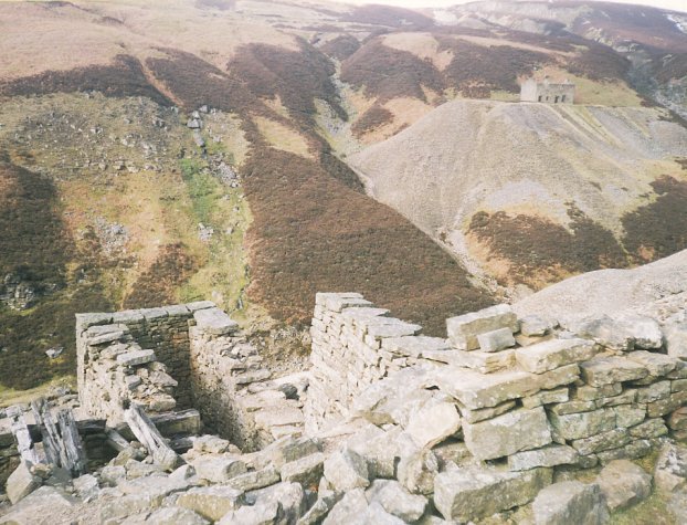
| Crackpot Hall Mine, Muker, Richmondshire, North Yorkshire, England, UK | 54° 24' 8" N | 2° 8' 41" W | 0.9km (0.6 miles) | |
| Priscilla Level, Lownathwaite Mine (Lownithwaite Mine; Lownethwaite Mine), Gunnerside Gill (Gunnerside Ghyll), Melbecks, Richmondshire, North Yorkshire, England, UK | 54° 24' 28" N | 2° 5' 43" W | 2.5km (1.5 miles) | |
| Lownathwaite Mine (Lownithwaite Mine; Lownethwaite Mine), Gunnerside Gill (Gunnerside Ghyll), Melbecks, Richmondshire, North Yorkshire, England, UK | 54° 24' 28" N | 2° 5' 43" W | 2.5km (1.5 miles) | |
| Sun Hush, Lownathwaite Mine (Lownithwaite Mine; Lownethwaite Mine), Gunnerside Gill (Gunnerside Ghyll), Melbecks, Richmondshire, North Yorkshire, England, UK | 54° 24' 25" N | 2° 5' 43" W | 2.5km (1.6 miles) | |
| Dolly Level, Lownathwaite Mine (Lownithwaite Mine; Lownethwaite Mine), Gunnerside Gill (Gunnerside Ghyll), Melbecks, Richmondshire, North Yorkshire, England, UK | 54° 24' 8" N | 2° 5' 43" W | 2.6km (1.6 miles) | |
| Blakethwaite Mine, Gunnerside Gill (Gunnerside Ghyll), Melbecks, Richmondshire, North Yorkshire, England, UK | 54° 24' 57" N | 2° 5' 38" W | 2.7km (1.7 miles) | |
| Bunton Level (Bunting Level), Friarfold Mine, Gunnerside Gill (Gunnerside Ghyll), Melbecks, Richmondshire, North Yorkshire, England, UK | 54° 24' 25" N | 2° 5' 27" W | 2.8km (1.7 miles) | |
| Friarfold Hush, Friarfold Mine, Gunnerside Gill (Gunnerside Ghyll), Melbecks, Richmondshire, North Yorkshire, England, UK | 54° 24' 31" N | 2° 5' 16" W | 3.0km (1.9 miles) | |
| Sir Francis Level, Lownathwaite Mine (Lownithwaite Mine; Lownethwaite Mine), Gunnerside Gill (Gunnerside Ghyll), Melbecks, Richmondshire, North Yorkshire, England, UK | 54° 23' 43" N | 2° 5' 32" W | 3.0km (1.9 miles) | |
| William Gill Colliery, Arkengarthdale, Richmondshire, North Yorkshire, England, UK | 54° 26' 33" N | 2° 7' 55" W | 3.9km (2.4 miles) | |
| Friarfold Rake, Old Gang Mines (AD Mines), Reeth, Fremington and Healaugh, Richmondshire, North Yorkshire, England, UK | 54° 24' 47" N | 2° 4' 9" W | 4.2km (2.6 miles) | |
| Joseph Caygill’s Level, Arkengarthdale, Richmondshire, North Yorkshire, England, UK | 54° 26' 0" N | 2° 5' 7" W | 4.2km (2.6 miles) | |
| Punchard Colliery, Arkengarthdale, Richmondshire, North Yorkshire, England, UK | 54° 26' 0" N | 2° 5' 6" W | 4.3km (2.6 miles) | |
| Engine House Colliery, Muker, Richmondshire, North Yorkshire, England, UK | 54° 26' 39" N | 2° 9' 16" W | 4.3km (2.7 miles) | |
| New Gin or Engine Pit, Muker, Richmondshire, North Yorkshire, England, UK | 54° 26' 39" N | 2° 9' 16" W | 4.3km (2.7 miles) | |
| William Gill Level, Arkengarthdale, Richmondshire, North Yorkshire, England, UK | 54° 26' 46" N | 2° 7' 33" W | 4.3km (2.7 miles) | |
| Cinder Oven Pit, Arkengarthdale, Richmondshire, North Yorkshire, England, UK | 54° 26' 46" N | 2° 7' 33" W | 4.3km (2.7 miles) | |
| Water Level, Arkengarthdale, Richmondshire, North Yorkshire, England, UK | 54° 26' 1" N | 2° 5' 3" W | 4.3km (2.7 miles) | |
| Tan Hill High Gin Colliery, Muker, Richmondshire, North Yorkshire, England, UK | 54° 26' 44" N | 2° 8' 55" W | 4.3km (2.7 miles) | |
| Lime Coal Level, Arkengarthdale, Richmondshire, North Yorkshire, England, UK | 54° 26' 2" N | 2° 5' 3" W | 4.3km (2.7 miles) | |
| Kings Pit High Gin Colliery, Muker, Richmondshire, North Yorkshire, England, UK | 54° 26' 51" N | 2° 8' 38" W | 4.5km (2.8 miles) | |
| Kings Pit Smithy Gin Colliery, Muker, Richmondshire, North Yorkshire, England, UK | 54° 26' 50" N | 2° 8' 53" W | 4.5km (2.8 miles) | |
| Little Moor Foot Mine, Muker, Richmondshire, North Yorkshire, England, UK | 54° 24' 27" N | 2° 12' 12" W | 4.5km (2.8 miles) | |
| North Rake, Old Gang Mines (AD Mines), Reeth, Fremington and Healaugh, Richmondshire, North Yorkshire, England, UK | 54° 24' 31" N | 2° 3' 52" W | 4.5km (2.8 miles) | |
| Kings Pit, Muker, Richmondshire, North Yorkshire, England, UK | 54° 26' 50" N | 2° 8' 53" W | 4.5km (2.8 miles) | |
| New Gin Shaft, Muker, Richmondshire, North Yorkshire, England, UK | 54° 26' 52" N | 2° 8' 38" W | 4.5km (2.8 miles) | |
| Low Gin Shaft, Muker, Richmondshire, North Yorkshire, England, UK | 54° 26' 40" N | 2° 9' 50" W | 4.5km (2.8 miles) | |


Bunton Level, Friarfold Mine, Gunnerside Gill, Melbecks, Richmondshire, North Yorkshire, England, UK